Enable Location

We need your location to show you interesting places around you

Discover nearby places

Find interesting locations and hidden gems around you

Precise directions

Get accurate directions and distances to places

Your location is never shared with other users. It's only used when you tap the location button.

Matanuska-Susitna Borough

Log in to your account

Start exploring — it's free

Trusted by 61,400 travelers worldwide

Continue with Google
Continue with Apple
or

We will send you a code to connect

By continuing, you accept our Terms and Conditions and our Privacy Policy

Check your inbox

We've sent a pincode in your inbox. Please enter the code below.

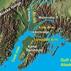
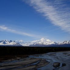
Matanuska-Susitna Borough, Administrative division in South Central Alaska, United States

Description

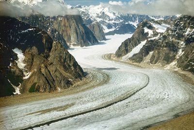
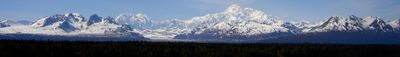
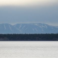
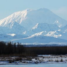
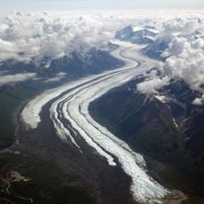
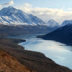
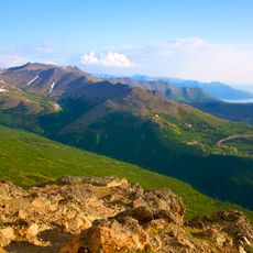
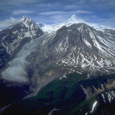
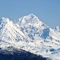
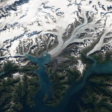
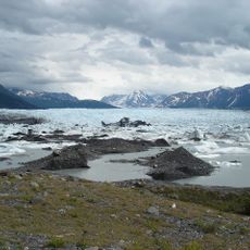
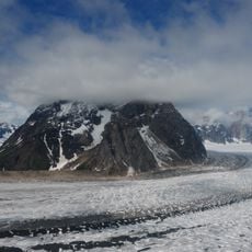
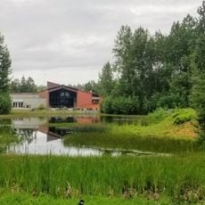
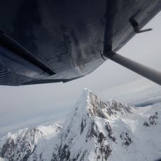
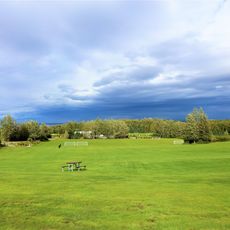
The Matanuska-Susitna Borough is a large administrative area north of Anchorage containing mountains, river valleys, and open farmland. The landscape shifts between forested zones, rivers, and clearings that support agriculture and small communities.

History

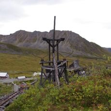
The region transformed in 1935 when a federal colonization project brought farming families to develop agriculture in the area. This shift turned it from a sparsely settled territory into a growing regional center.

Culture

The Dena'ina and Ahtna peoples built communities along river valleys and established trade networks across the region. Their descendants continue to live here and influence the local way of life.

Practical

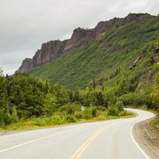
The area sits north of Anchorage and is accessible to visitors who allow time for travel between spread-out communities. Public facilities including libraries and parks are scattered throughout the borough.

Did you know?

The area functions as one of Alaska's primary farming zones, taking advantage of summer seasons with extended daylight hours for crop production. This far-north agriculture follows rhythms unlike farming in other regions.

Location
Inception
1964
Capital city
Palmer
Part of
organized borough
Shares border with
Denali Borough, Southeast Fairbanks Census Area, Copper River Census Area, Anchorage, Kenai Peninsula Borough, Bethel Census Area, Yukon-Koyukuk Census Area, Chugach Census Area
Address
350 E. Dahlia Ave., Palmer, AK 99645
Phone
GPS coordinates
62.40000,-149.58000
Latest update
December 20, 2025 00:36

AroundUs brings together thousands of curated places, local tips, and hidden gems, enriched daily by 60,000 contributors worldwide. Discover all places nearby (Alaska).

Around this place
Show the full map
« Matanuska-Susitna Borough - Administrative division in South Central Alaska, United States » is provided by Around Us (aroundus.com). Images and texts are derived from Wikimedia project under a Creative Commons license. You are allowed to copy, distribute, and modify copies of this page, under the conditions set by the license, as long as this note is clearly visible.

Discover hidden gems everywhere you go!

From secret cafés to breathtaking viewpoints, skip the crowded tourist spots and find places that match your style. Our app makes it easy with voice search, smart filtering, route optimization, and insider tips from travelers worldwide. Download now for the complete mobile experience.

Around Us App Screenshot

A unique approach to discovering new places

Le Figaro

All the places worth exploring

France Info

A tailor-made excursion in just a few clicks

20 Minutes

Around Us
Travel Guide & Maps
Download

Send to your phone

QR Code
1

Open the camera app on your mobile.

2

Point at the QR code with your camera. A notification will appear.

3

Tap the notification to open the link.