Kenai Peninsula, Peninsula in Southcentral Alaska, United States.
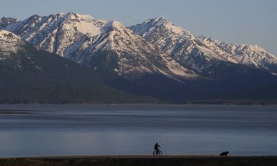
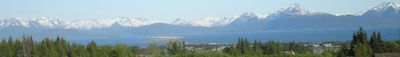
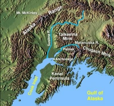
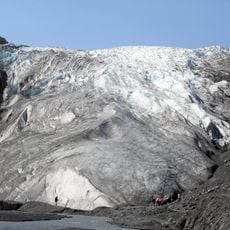
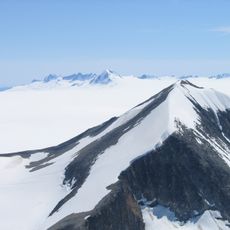
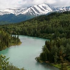
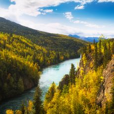
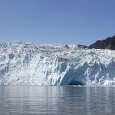
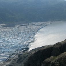
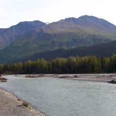
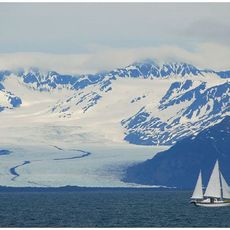
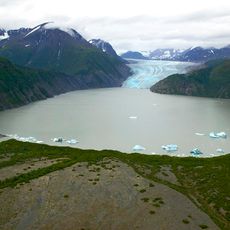
This landmass stretches 150 miles (241 kilometers) southwest from the Chugach Mountains, sitting between Cook Inlet and Prince William Sound, with glacier-covered peaks rising to 7,000 feet (2,133 meters). The terrain shifts from dense coastal forests to open tundra plains, while fjords and bays mark the jagged coastline and several major river systems flow through deep valleys.
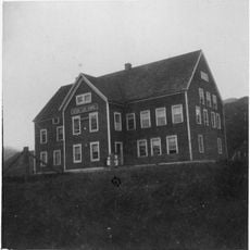
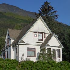
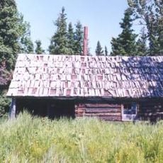
Indigenous groups including Athabascan and Alutiiq peoples lived here for millennia before Russian explorer Geraisim Izmailov created the first map in 1789. Russian fur traders established settlements afterward, which later passed to the United States and grew into present-day towns with mixed populations of descendants and newcomers.
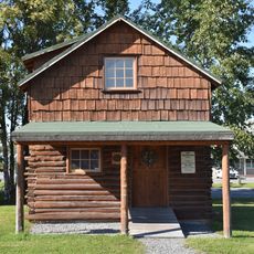
The name comes from the Kenaitze people, an indigenous group who called this territory Yaghanen and whose descendants still live here today. Visitors can learn more about this traditional connection to the land at the K'Beq' Interpretive Site, where displays show how the first inhabitants used fishing grounds and trails.
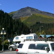
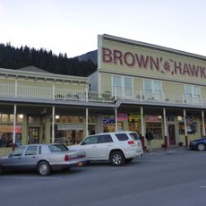
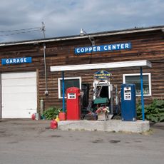
Several towns sit along highways that run through the entire region, with gas stations, lodging and shops located at regular intervals. Airports with scheduled flights operate in some of the larger towns, offering additional access for travelers arriving from farther away.
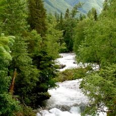
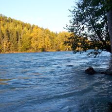
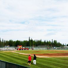
The northernmost endpoint of the continuous paved highway system in North America sits in Homer, where the road literally ends at the water. The river system here supports large salmon populations that travel upstream every year, drawing thousands of anglers during runs.
The community of curious travelers
AroundUs brings together thousands of curated places, local tips, and hidden gems, enriched daily by 60,000 contributors worldwide.