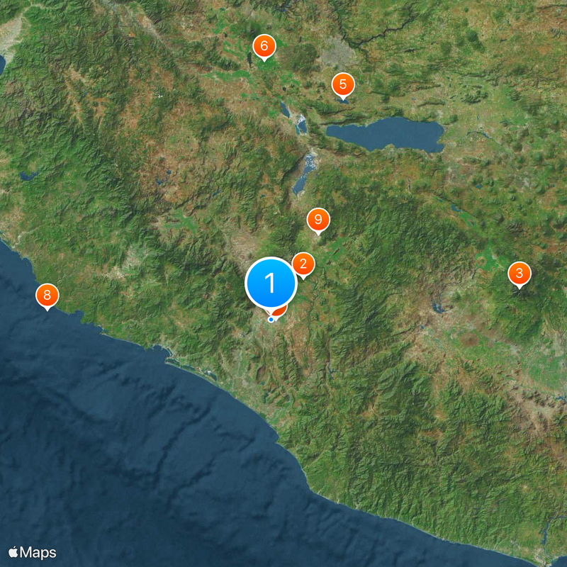
Colima, State capital in west-central Mexico
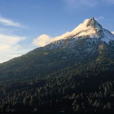
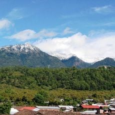
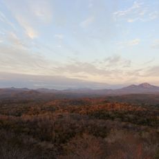
Colima is the capital of its state in west-central Mexico and sits in a valley at about 1,625 feet (495 meters) elevation. Volcanic landscape defines the geography and gives the city its natural setting.
The city was established in January 1527 after an earlier attempt a decade prior had collapsed due to disease outbreaks. Colonial authorities reorganized efforts and anchored the community more securely.
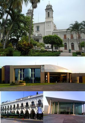
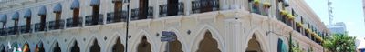
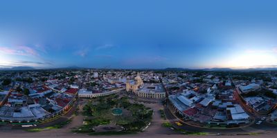
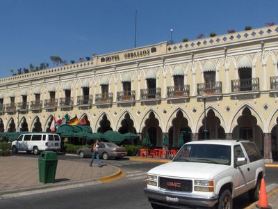
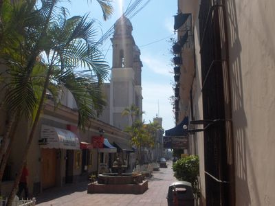
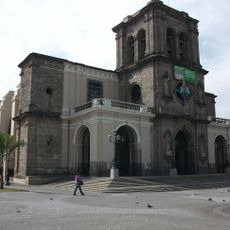
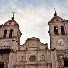
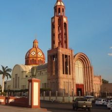
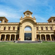
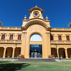
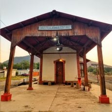
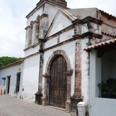
The name of the city comes from the Nahuatl language of the region's indigenous people. Neoclassical architecture shapes the center, where families and friends gather for religious ceremonies and weekend events.
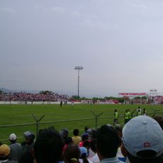
Central areas are easy to walk through, as the terrain is mostly flat throughout. Weekends and early evenings are when the main squares see more foot traffic.
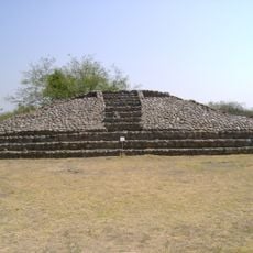
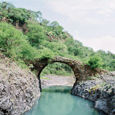
Sites like El Chanal and La Campana display techniques from times well before colonial arrival. Many visitors do not notice that certain structures were built using interlocking stone blocks without mortar.
Location: Colima
Inception: January 20, 1527
Website: http://colima.gob.mx
GPS coordinates: 19.24340,-103.72807
Latest update: December 18, 2025 15:40
Nevado de Colima National Park
31.1 km
Pico de Tancítaro
149.2 km
La Campana
2.7 km
Lake Cajititlan, Jalisco
138.1 km
Agave Landscape and Ancient Industrial Facilities of Tequila
154.2 km
Estadio Olímpico Universitario de Colima
2.8 km
Chamela-Cuixmala Biosphere Reserve
133.8 km
St. Joseph Cathedral, Ciudad Guzmán
58.3 km
Plaza de toros Alberto Balderas
88.7 km
Cathedral Basilica of Our Lady of Guadalupe
43 m
Holy Trinity Cathedral, Autlán
89.1 km
Immaculate Conception Cathedral, Apatzingán
145.5 kmTrióvalo Bernardo Obregón
142.3 km
Estadio Colima
1.6 km
Hacienda San José de Miravalle
132.2 km
Museo Universitario de Artes Populares María Teresa Pomar
829 m
Museo Regional de Historia de Colima
107 m
Porto de Manzanillo
65.4 km
Centro Cultural González Gallo
130 km
Chapala
130.4 km
Museo Comunitario de la Sal
51.6 km
Las Delicias
130.5 km
Antigua Estación de Ferrocarril Tlajomulco
139.5 km
Puente del Diablo, Buenavista
122.4 km
Playa la Llorona
103.9 km
Playa Maruata
115.6 km
Capilla de Nuestra Señora del Refugio de Nogueras
9 km
Teatro Hidalgo
291 mVisited this place? Tap the stars to rate it and share your experience / photos with the community! Try now! You can cancel it anytime.
Discover hidden gems everywhere you go!
From secret cafés to breathtaking viewpoints, skip the crowded tourist spots and find places that match your style. Our app makes it easy with voice search, smart filtering, route optimization, and insider tips from travelers worldwide. Download now for the complete mobile experience.
A unique approach to discovering new places❞
— Le Figaro
All the places worth exploring❞
— France Info
A tailor-made excursion in just a few clicks❞
— 20 Minutes