Enable Location

We need your location to show you interesting places around you

Discover nearby places

Find interesting locations and hidden gems around you

Precise directions

Get accurate directions and distances to places

Your location is never shared with other users. It's only used when you tap the location button.

Log in to your account

Start exploring — it's free

Trusted by 62,572 travelers worldwide

Continue with Google
Continue with Apple
or

We will send you a code to connect

By continuing, you accept our Terms and Conditions and our Privacy Policy

Check your inbox

We've sent a pincode in your inbox. Please enter the code below.

Culiacán Municipality

Culiacán Municipality, Administrative division in Sinaloa, Mexico

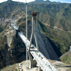
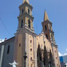
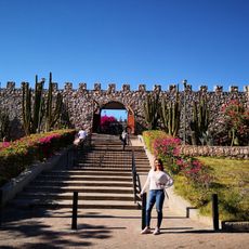
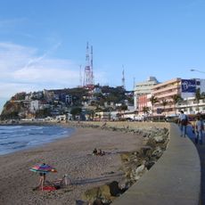
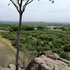
Culiacán Municipality is an administrative division in northwestern Mexico that combines urban neighborhoods with outlying rural settlements across a substantial territory. The area is organized into multiple local districts, each managing its own community needs and local affairs.

The municipal territory was officially established in the early 20th century as part of regional administrative reforms in Mexico. This formation followed significant shifts in the political structure of Sinaloa state.

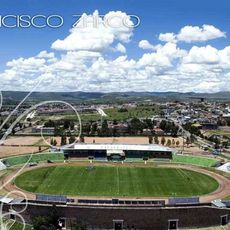
The municipality contains 18 sindicaturas, each representing distinct communities that maintain their own local traditions and administrative practices.

Visitors can navigate the municipality by using public transportation, as buses connect the main areas throughout the territory. The best time to explore is during the dry months when roads are in good condition.

The municipality experiences population growth with 1,003,530 residents recorded in 2020, marking a 34% increase from the 745,537 inhabitants counted in 2000.

The community of curious travelers

AroundUs brings together thousands of curated places, local tips, and hidden gems, enriched daily by 60,000 contributors worldwide.

Start exploring
Location
Inception
September 29, 1531
Capital city
Culiacán
Elevation above the sea
124 m
GPS coordinates
24.66667,-107.43111
Latest update
December 7, 2025 10:06
« Culiacán Municipality - Administrative division in Sinaloa, Mexico » is provided by Around Us (aroundus.com). Images and texts are derived from Wikimedia project under a Creative Commons license. You are allowed to copy, distribute, and modify copies of this page, under the conditions set by the license, as long as this note is clearly visible.

Discover hidden gems everywhere you go!

From secret cafés to breathtaking viewpoints, skip the crowded tourist spots and find places that match your style. Our app makes it easy with voice search, smart filtering, route optimization, and insider tips from travelers worldwide. Download now for the complete mobile experience.

Around Us App Screenshot

A unique approach to discovering new places

Le Figaro

All the places worth exploring

France Info

A tailor-made excursion in just a few clicks

20 Minutes

Around Us
Travel Guide & Maps
Download

Send to your phone

QR Code
1

Open the camera app on your mobile.

2

Point at the QR code with your camera. A notification will appear.

3

Tap the notification to open the link.