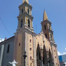
Sinaloa, State in northwest Mexico.
Description
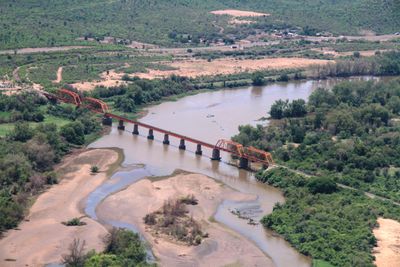
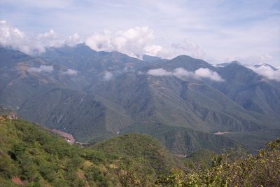
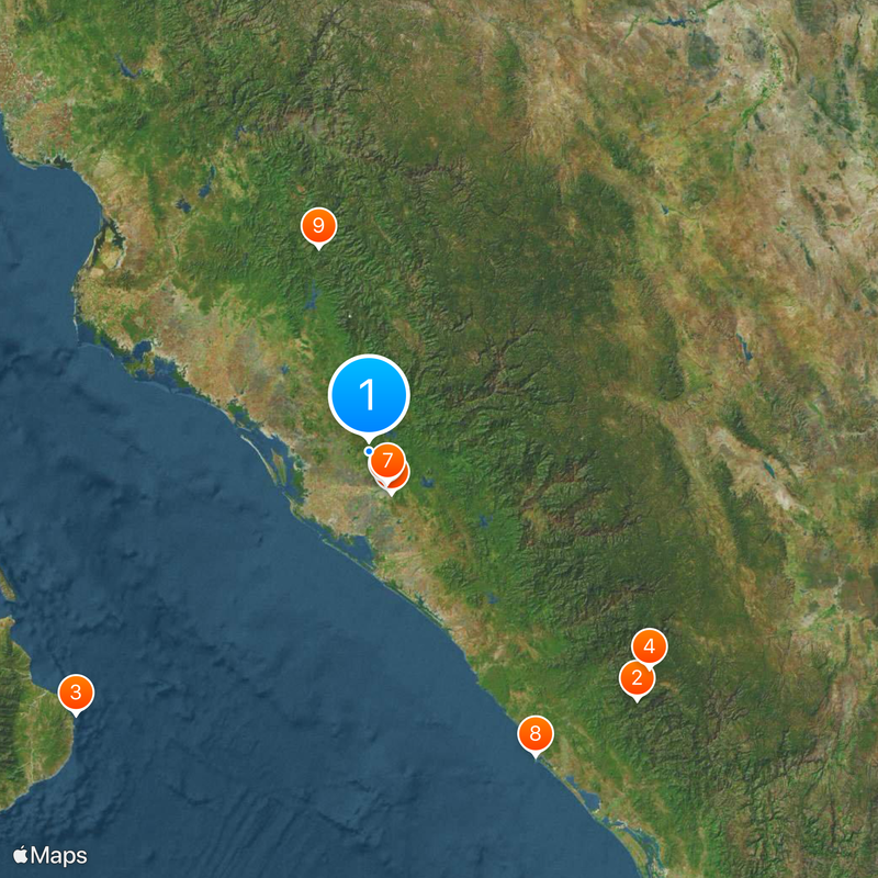
The territory extends across 57,365 square kilometers (22,150 square miles) between the Sierra Madre Occidental mountain range and the Pacific coastline, with Culiacán serving as the administrative center.
History
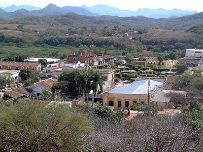
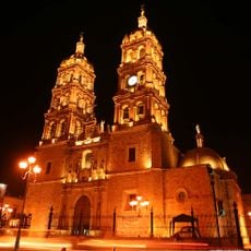
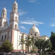
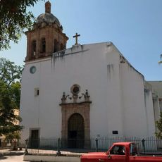
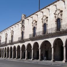
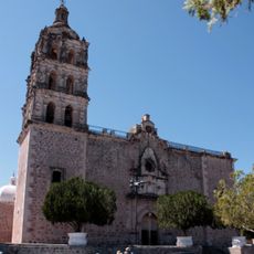
Spanish colonizers established their initial settlement in the region during 1531, encountering indigenous populations including Cahitas, Tahues, Acaxees, and Xiximes communities that had inhabited the area for centuries.
Culture
The state stands at the forefront of Mexican musical traditions through banda and norteño genres, employing brass instruments and regional rhythms that developed during the early 20th century.
Practical
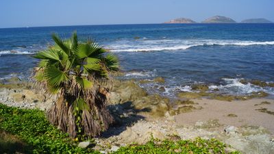
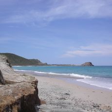
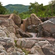
Agriculture accounts for 21 percent of the economy, producing rice, vegetables, wheat, and beans across three quarters of the territory, while coastal regions provide access to fishing communities and beaches along the Pacific shore.
Did you know?
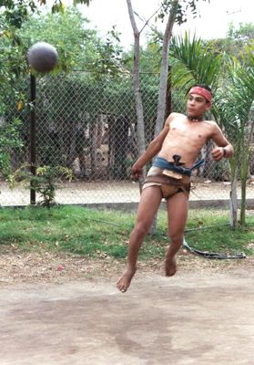
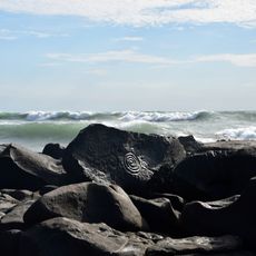
The region preserves ulama, a pre-Hispanic ball game where players strike a rubber sphere exclusively with their hips, a sport practiced for over a thousand years before European contact.
AroundUs brings together thousands of curated places, local tips, and hidden gems, enriched daily by 60,000 contributors worldwide. Discover all places nearby (Mexico).
Baluarte Bridge
240.6 km
Cabo Pulmo National Park
259.5 km
Mexiquillo
233.4 km
Cathedral Basilica of the Immaculate Conception, Durango
306.8 kmJardines Del Humaya
30.9 km
Cathedral Basilica of Our Lady of the Rosary
24.2 km
Jardín Botánico Culiacán
23.2 km
Cathedral Basilica of the Immaculate Conception, Mazatlán
228.7 km
Bacubirito Meteorite
137.3 km
Valle de Ignacio Allende
301.6 km
Estadio Francisco Zarco
305.7 km
Sierra de Alamos - Río Cuchujaqui
241.7 km
Palacio de Zambrano
306.8 km
Las Labradas
171 km
Iglesia de la Purísima Concepción
266.6 km
Bebeleche, Museo Interactivo de Durango
305 km
Parque Nacional Cabo Pulmo
261.7 km
Mazatlán Lighthouse
230.7 kmTeleférico de Durango
305.8 km
Francisco Villa Museum
306.8 km
Templo de San Agustín
306.5 km
Museo El Fuerte
193.8 km
Roman Catholic Territorial Prelature of El Salto
256.7 km
Mina la Prieta
283.2 km
Estadio Alfredo Díaz Angulo
75.8 km
Álamos city hall
266.6 km
Observatorio Mazatlán 1873
229.7 km
Plaza de Armas of Alamos
266.6 km
Ahome
Angostura Municipality
Badiraguato
Concordia Municipality
Cosalá Municipality
Culiacán Municipality
Choix
Elota Municipality
Escuinapa Municipality
El Fuerte Municipality
Guasave
Mazatlán Municipality
Mocorito Municipality
Rosario Municipality
Salvador Alvarado
San Ignacio
Sinaloa Municipality
Navolato Municipality
El Dorado
Juan José Ríos, Sinaloa
Discover hidden gems everywhere you go!
From secret cafés to breathtaking viewpoints, skip the crowded tourist spots and find places that match your style. Our app makes it easy with voice search, smart filtering, route optimization, and insider tips from travelers worldwide. Download now for the complete mobile experience.
A unique approach to discovering new places❞
— Le Figaro
All the places worth exploring❞
— France Info
A tailor-made excursion in just a few clicks❞
— 20 Minutes