Ahome, Administrative municipality in Sinaloa, Mexico.
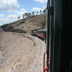
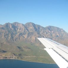
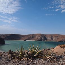
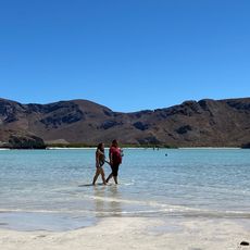
Ahome is an administrative municipality in northwestern Sinaloa on the Pacific coast where the Gulf of California opens up. The territory spreads across flat coastal plains and is crossed by several rivers that shape the landscape.
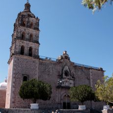
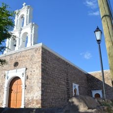
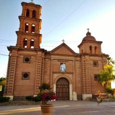
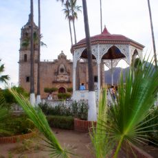
Jesuit missionaries founded Mission Santa María Ahome in 1605 and brought European influence to the region. This establishment marked the beginning of a new phase in the area's development.
The name Ahome comes from the indigenous language and means "great river". Local people today still connect this heritage to their identity and share this story at community gatherings and celebrations.
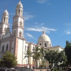
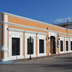
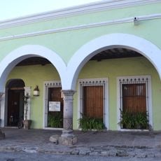
Los Mochis serves as the administrative center with access to shops, offices, and services. From here, other locations in northwestern Mexico are easy to reach.
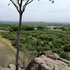
Valle del Fuerte is one of Mexico's most important grain and fruit production zones, where farmers use an intelligent irrigation system to manage water distribution. This agricultural tradition shapes the daily life and economy of the area today.
Location: Sinaloa
Inception: 1917
Capital city: Los Mochis
Elevation above the sea: 12 m
Website: http://ahome.gob.mx
GPS coordinates: 25.83333,-109.05000
Latest update: December 7, 2025 10:06
Ferrocarril Chihuahua al Pacífico
224.6 km
Bahía de Loreto National Park
207.6 km
Copper Canyon Adventure Park
223.5 km
Playa Balandra
211.7 km
Cathedral Basilica of Our Lady of the Rosary
201.9 km
Jardín Botánico Culiacán
201.7 km
Bacubirito Meteorite
128.4 km
Balandra
212.8 km
Piedra Volada
224 km
Sierra de Alamos - Río Cuchujaqui
143 km
Iglesia de la Purísima Concepción
132.8 km
Arena Sonora
208.1 km
Sacred Heart of Jesus Cathedral, Ciudad Obregón
205 km
Museo El Fuerte
78.4 km
Teleférico de las Barrancas del Cobre
223.4 km
Estadio Alfredo Díaz Angulo
107 km
Álamos city hall
132.8 km
Plaza de Armas of Alamos
132.9 km
Capilla de Zapopan
133.3 km
Temple of Saint Rose of Lima
217.1 km
Customs Museum of Sonora
132.9 km
Biblioteca Doctor Alfonso Ortiz Tirado
132.8 km
Temple of Saint Joseph
136.7 km
Isla Espíritu Santo
199 km
Mirador Cerro de Gallego
191.2 km
Área de Protección de Flora y Fauna Balandra
212.4 km
Historic centre of Alamos
132.7 km
Cerro De La Mask
79.9 kmVisited this place? Tap the stars to rate it and share your experience / photos with the community! Try now! You can cancel it anytime.
Discover hidden gems everywhere you go!
From secret cafés to breathtaking viewpoints, skip the crowded tourist spots and find places that match your style. Our app makes it easy with voice search, smart filtering, route optimization, and insider tips from travelers worldwide. Download now for the complete mobile experience.
A unique approach to discovering new places❞
— Le Figaro
All the places worth exploring❞
— France Info
A tailor-made excursion in just a few clicks❞
— 20 Minutes