El Dorado, Agricultural settlement in Culiacán Municipality, Mexico
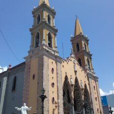
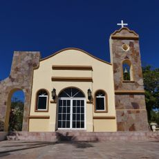
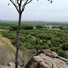
El Dorado is an agricultural settlement in Culiacán Municipality, located near the San Lorenzo River mouth in Sinaloa state. The locality is situated roughly 52 kilometers north of Culiacán Rosales and continues to serve as a center for farming activities in the region.
The settlement takes its name from a sugar mill established by the Redo family in 1900, which marked the beginning of agricultural development in the region. After decades of effort, the community gained formal recognition as an independent municipality in 2021.
The population of 14,772 inhabitants maintains strong connections to farming traditions while incorporating modern amenities and technological advancements in daily life.
Most homes have electricity and piped water, making daily life straightforward for residents and visitors. For broader services and supplies, a trip to the nearby larger city is often necessary.
This community emerged as an independent municipality in 2021 after decades of efforts, becoming a separate administrative entity from Culiacán in November 2024.
Location: Culiacán Municipality
Elevation above the sea: 7 m
GPS coordinates: 24.32440,-107.36700
Latest update: December 7, 2025 20:49
Baluarte Bridge
185.4 km
Cabo Pulmo National Park
229.4 km
Mexiquillo
184.1 km
Cathedral Basilica of Our Lady of the Rosary
54 km
Jardín Botánico Culiacán
55.6 km
Cathedral Basilica of the Immaculate Conception, Mazatlán
157.8 km
Bacubirito Meteorite
214 km
Estadio Francisco Zarco
274.4 km
Las Labradas
99.3 km
Ángela Peralta Theatre
158.1 km
Bebeleche, Museo Interactivo de Durango
273.9 km
Parque Nacional Cabo Pulmo
231.7 km
Mazatlán Lighthouse
159.6 km
Museo El Fuerte
265.5 km
Roman Catholic Territorial Prelature of El Salto
213.1 kmIxpalino
104.4 km
Estadio Alfredo Díaz Angulo
143.9 km
Observatorio Mazatlán 1873
158.7 km
Trópico de Cáncer
257 km
Hotel Belmar
157.9 km
Las Labradas
99.3 km
Iglesia Santa Anita
269.8 km
Casa Haas
157.9 km
Iglesia Nuestra Señora de Fatima de Caduaño
269.3 km
Cabo Pulmo Beach
231.8 km
Zorra Canyon Waterfall
263.6 km
Cerro De La Mask
267.2 km
Capilla Santa Cruz
247.5 kmVisited this place? Tap the stars to rate it and share your experience / photos with the community! Try now! You can cancel it anytime.
Discover hidden gems everywhere you go!
From secret cafés to breathtaking viewpoints, skip the crowded tourist spots and find places that match your style. Our app makes it easy with voice search, smart filtering, route optimization, and insider tips from travelers worldwide. Download now for the complete mobile experience.
A unique approach to discovering new places❞
— Le Figaro
All the places worth exploring❞
— France Info
A tailor-made excursion in just a few clicks❞
— 20 Minutes