Enable Location

We need your location to show you interesting places around you

Discover nearby places

Find interesting locations and hidden gems around you

Precise directions

Get accurate directions and distances to places

Your location is never shared with other users. It's only used when you tap the location button.

Log in to your account

Start exploring — it's free

Trusted by 67,548 travelers worldwide

Continue with Google
Continue with Apple
or

We will send you a code to connect

By continuing, you accept our Terms and Conditions and our Privacy Policy

Check your inbox

We've sent a pincode in your inbox. Please enter the code below.

Sam Merrill Trail
Discussion Reviews Photo
3.6k Popularity

Sam Merrill Trail, Hiking trail in Angeles National Forest, California, US.

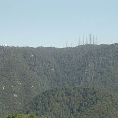
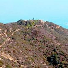
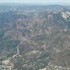
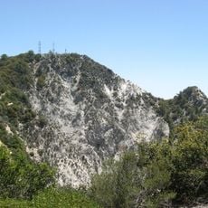
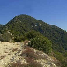
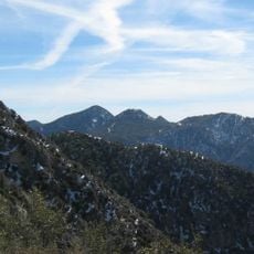
Sam Merrill Trail is a hiking path through Angeles National Forest that climbs from Altadena to a mountain promontory with broad views of the surrounding landscape. The route crosses through forest sections, open ridges, and rocky terrain as it ascends.

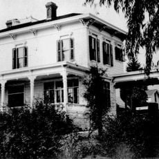
The path was created in the 1930s and later maintained by Sam Merrill, who gave the trail its name. It connects to other historic sites on the mountain that developed as recreation spots in earlier decades.

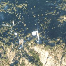
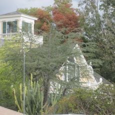
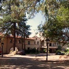
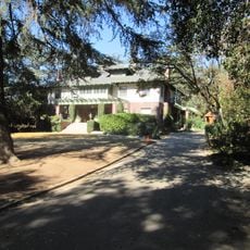
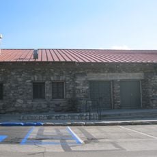
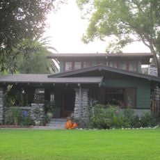
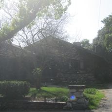
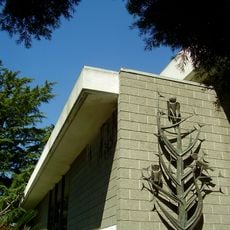
The trail provides access to ruins of a historic mountain railway and an abandoned resort town that shaped how people traveled and vacationed in early California. Visitors walking this route experience the physical remnants of a destination that once drew crowds seeking mountain escapes.

The path climbs steeply with many switchbacks and rocky ground, so sturdy shoes and plenty of water are necessary. Start early in the day and check weather conditions beforehand, as the upper sections can be exposed to sun and wind.

The trail ends at a viewpoint overlooking the remains of several historic sites scattered in the valley below. From this vantage point, visitors can see how these different locations were once connected as a single mountain destination.

The community of curious travelers

AroundUs brings together thousands of curated places, local tips, and hidden gems, enriched daily by 60,000 contributors worldwide.

Start exploring
Location
GPS coordinates
34.21970,-118.12100
Latest update
December 12, 2025 07:51
Reviews
Share your experience

No review yet

Discussions
Start a discussion...

No discussion yet

« Sam Merrill Trail - Hiking trail in Angeles National Forest, California, US » is provided by Around Us (aroundus.com). Images and texts are derived from Wikimedia project under a Creative Commons license. You are allowed to copy, distribute, and modify copies of this page, under the conditions set by the license, as long as this note is clearly visible.

Discover hidden gems everywhere you go!

From secret cafés to breathtaking viewpoints, skip the crowded tourist spots and find places that match your style. Our app makes it easy with voice search, smart filtering, route optimization, and insider tips from travelers worldwide. Download now for the complete mobile experience.

Around Us App Screenshot

A unique approach to discovering new places

Le Figaro

All the places worth exploring

France Info

A tailor-made excursion in just a few clicks

20 Minutes

Around Us
Travel Guide & Maps
Download

Send to your phone

QR Code
1

Open the camera app on your mobile.

2

Point at the QR code with your camera. A notification will appear.

3

Tap the notification to open the link.