Chest opened
+${chestReward.xp} XP
Explorer
NOUVEAU ×${chestReward.collectible.quantity}
tapez pour fermer

See the monuments around you in AR Open chests in the app

Around Us is built for your phone — point your camera at the streets and discover the monuments and places around you in augmented reality. Around Us is built for your phone — chests unlock when you walk, explore and capture nearby places.

Enable Location

We need your location to show you interesting places around you

Discover nearby places

Find interesting locations and hidden gems around you

Precise directions

Get accurate directions and distances to places

Your location is never shared with other users. It's only used when you tap the location button.

San Diego–Tijuana

Log in to your account

Start exploring — it's free

Trusted by 85,190 travelers worldwide

Continue with Google
Continue with Apple
or

We will send you a code to connect

By continuing, you accept our Terms and Conditions and our Privacy Policy

Check your inbox

We've sent a pincode in your inbox. Please enter the code below.

San Diego–Tijuana
Discussion Reviews 1 Photos
95.1k Popularity

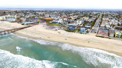
San Diego–Tijuana, International conurbation between California and Baja California.

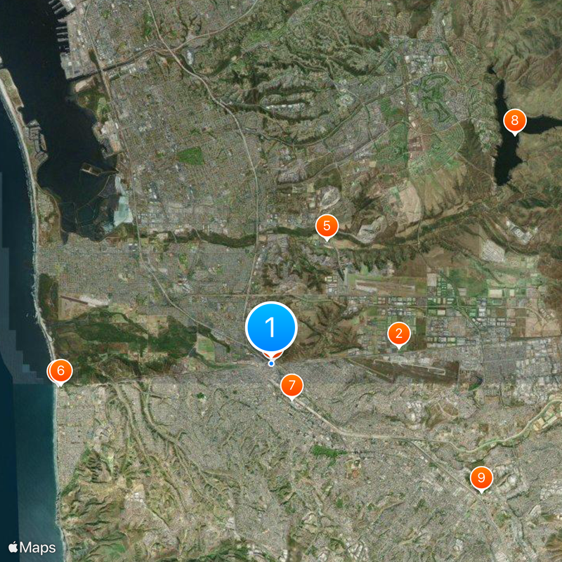
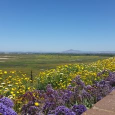
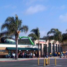
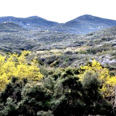
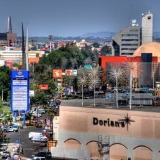
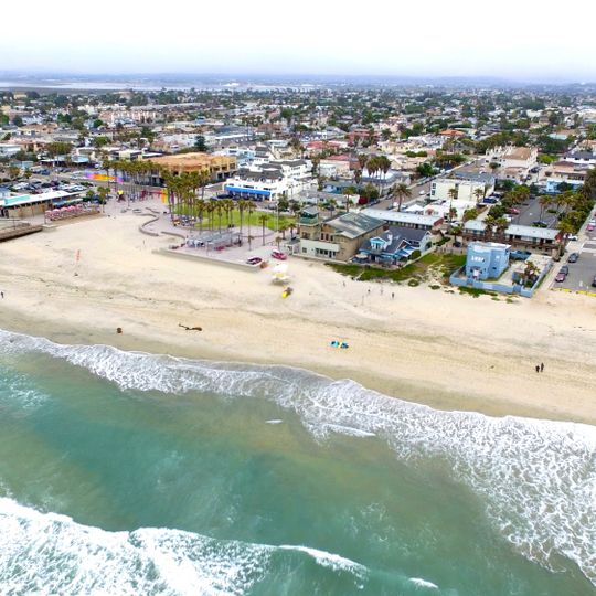
San Diego–Tijuana is a cross-border metropolitan area between California in the United States and Baja California in Mexico, extending across several administrative districts on both sides. The built-up areas stretch from the Pacific coast to the mountains in the east, encompassing both densely developed neighborhoods and industrial zones along the international boundary

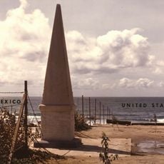
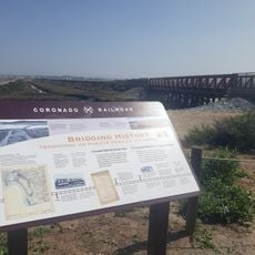
Following Mexican independence in the early 19th century, the area remained sparsely settled until railroad construction in the late 1800s and the California gold rush drew more people. The present border was established in 1848 through the Treaty of Guadalupe Hidalgo, while both cities developed rapidly during the 20th century

The name Tijuana likely comes from the Kumeyaay language and roughly means

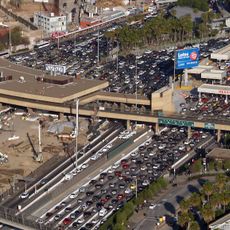
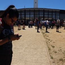
Travelers should prepare for waiting times at border crossings, especially on weekends and during holiday periods. The coastal areas remain accessible year-round, while the eastern mountain regions may experience cooler conditions during winter

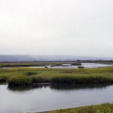
On clear days you can see both the San Diego skyline to the north and the hills of Tijuana to the south when standing at the right spot along the coast. The border line itself runs directly through the Pacific Ocean, ending at a fence that extends into the water

The community of curious travelers

AroundUs brings together thousands of curated places, local tips, and hidden gems, enriched daily by 60,000 contributors worldwide.

Start exploring
Location
Location
GPS coordinates
32.54220,-117.03000
Latest update
August 30, 2026 10:14
Reviews
Share your experience

No review yet

Discussions
Start a discussion...

No discussion yet

« San Diego–Tijuana - International conurbation between California and Baja California » is provided by Around Us (aroundus.com). Images and texts are derived from Wikimedia project under a Creative Commons license. You are allowed to copy, distribute, and modify copies of this page, under the conditions set by the license, as long as this note is clearly visible.

Discover hidden gems everywhere you go!

From secret cafés to breathtaking viewpoints, skip the crowded tourist spots and find places that match your style. Our app makes it easy with voice search, smart filtering, route optimization, and insider tips from travelers worldwide. Download now for the complete mobile experience.
Around Us App Screenshot

A unique approach to discovering new places

Le Figaro

All the places worth exploring

France Info

A tailor-made excursion in just a few clicks

20 Minutes

Around Us
Travel Guide & Maps
Download

Send to your phone

QR Code
1

Open the camera app on your mobile.

2

Point at the QR code with your camera. A notification will appear.

3

Tap the notification to open the link.