Chest opened
+${chestReward.xp} XP
Explorer
NOUVEAU ×${chestReward.collectible.quantity}
tapez pour fermer
Chest locked

Open chests in the app

Around Us is built for your phone — chests unlock when you walk, explore and capture nearby places.

Enable Location

We need your location to show you interesting places around you

Discover nearby places

Find interesting locations and hidden gems around you

Precise directions

Get accurate directions and distances to places

Your location is never shared with other users. It's only used when you tap the location button.

Log in to your account

Start exploring — it's free

Trusted by 73,102 travelers worldwide

Continue with Google
Continue with Apple
or

We will send you a code to connect

By continuing, you accept our Terms and Conditions and our Privacy Policy

Check your inbox

We've sent a pincode in your inbox. Please enter the code below.

California's 52nd congressional district
Discussion Reviews Photo
38.4k Popularity

California's 52nd congressional district, Congressional district in San Diego County, United States.

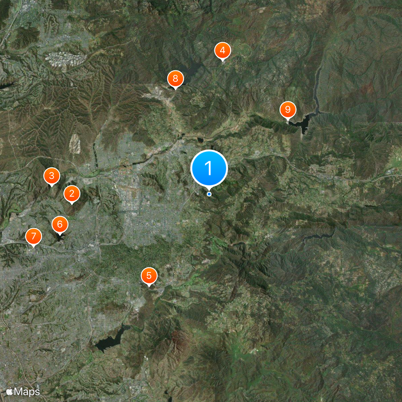
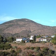
California's 52nd congressional district covers several cities in the southern part of the state, including San Diego, Chula Vista, National City, and Imperial Beach. These communities together form a densely populated region representing roughly 740,000 people.

The district was established after the 1970 census when California gained additional congressional seats. Duncan L. Hunter served as the first representative starting in 1993 before the boundaries were later redrawn.

The district population reflects California's diversity with 60 percent Hispanic, 15 percent Asian, 13 percent White, and 8 percent Black residents.

Representatives serve two-year terms and speak for a very diverse population with different economic backgrounds. The area is relatively densely settled with large urban centers and smaller suburban communities.

After the 2020 redistricting, the boundaries shifted significantly and now concentrate more on San Diego's South Bay area. This redesign substantially altered the political makeup and representation of the region.

The community of curious travelers

AroundUs brings together thousands of curated places, local tips, and hidden gems, enriched daily by 60,000 contributors worldwide.

Start exploring
Location
GPS coordinates
32.82083,-116.89028
Latest update
December 17, 2025 09:43
Around this place
Cowles Mountain
United States of America

Cowles Mountain

13.3 km
Mission Trails Regional Park
United States of America

Mission Trails Regional Park

15.2 km
Blackjack Hall of Fame
United States of America

Blackjack Hall of Fame

13 km
Skyline Church
United States of America

Skyline Church

10.5 km
Lake Murray
United States of America

Lake Murray

14.9 km
Aztec Bowl
United States of America

Aztec Bowl

17.6 km
San Vicente Reservoir
United States of America

San Vicente Reservoir

10.7 km
El Capitan Reservoir
United States of America

El Capitan Reservoir

10.5 km
San Miguel Mountain
United States of America

San Miguel Mountain

14.5 km
El Cajon Mountain
United States of America

El Cajon Mountain

12.4 km
Museum of Creation and Earth History
United States of America

Museum of Creation and Earth History

7.1 km
Old Mission Dam
United States of America

Old Mission Dam

14.5 km
Sweetwater Reservoir
United States of America

Sweetwater Reservoir

16.5 km
San Vicente Dam
United States of America

San Vicente Dam

10.6 km
Viejas Mountain
United States of America

Viejas Mountain

16 km
Hubert H. Bancroft Ranch House
United States of America

Hubert H. Bancroft Ranch House

13.1 km
Loveland Dam
United States of America

Loveland Dam

10 km
Edgemoor Farm Dairy Barn
United States of America

Edgemoor Farm Dairy Barn

7.8 km
Santee Boulders
United States of America

Santee Boulders

12.7 km
McGinty Mountain
United States of America

McGinty Mountain

8.1 km
Creation & Earth History Museum & Bookstore
United States of America

Creation & Earth History Museum & Bookstore

7 km
Jardín Ahorrador de Agua en el Cuyamaca College
United States of America

Jardín Ahorrador de Agua en el Cuyamaca College

9.7 km
Physical Sciences Building
United States of America

Physical Sciences Building

17.6 km
Museum
United States of America

Museum

9.9 km
Love Library Addition
United States of America

Love Library Addition

17.6 km
Lemon Grove Park
United States of America

Lemon Grove Park

16 km
Administration Building
United States of America

Administration Building

17.6 km
La Mesa Library
United States of America

La Mesa Library

13.9 km
Show the full map
Reviews
Share your experience

No review yet

Discussions
Start a discussion...

No discussion yet

« California's 52nd congressional district - Congressional district in San Diego County, United States » is provided by Around Us (aroundus.com). Images and texts are derived from Wikimedia project under a Creative Commons license. You are allowed to copy, distribute, and modify copies of this page, under the conditions set by the license, as long as this note is clearly visible.

Discover hidden gems everywhere you go!

From secret cafés to breathtaking viewpoints, skip the crowded tourist spots and find places that match your style. Our app makes it easy with voice search, smart filtering, route optimization, and insider tips from travelers worldwide. Download now for the complete mobile experience.

Around Us App Screenshot

A unique approach to discovering new places

Le Figaro

All the places worth exploring

France Info

A tailor-made excursion in just a few clicks

20 Minutes

Around Us
Travel Guide & Maps
Download

Send to your phone

QR Code
1

Open the camera app on your mobile.

2

Point at the QR code with your camera. A notification will appear.

3

Tap the notification to open the link.