Chest opened
+${chestReward.xp} XP
Explorer
NOUVEAU ×${chestReward.collectible.quantity}
tapez pour fermer
Chest locked

Open chests in the app

Around Us is built for your phone — chests unlock when you walk, explore and capture nearby places.

Enable Location

We need your location to show you interesting places around you

Discover nearby places

Find interesting locations and hidden gems around you

Precise directions

Get accurate directions and distances to places

Your location is never shared with other users. It's only used when you tap the location button.

San Gabriel Valley

Log in to your account

Start exploring — it's free

Trusted by 72,941 travelers worldwide

Continue with Google
Continue with Apple
or

We will send you a code to connect

By continuing, you accept our Terms and Conditions and our Privacy Policy

Check your inbox

We've sent a pincode in your inbox. Please enter the code below.

San Gabriel Valley
Discussion Reviews 3 Photos
113k Popularity

San Gabriel Valley, Valley east of Los Angeles, California, US

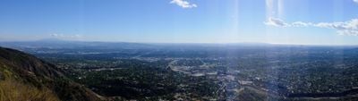
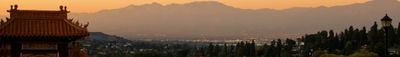
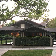
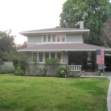
San Gabriel Valley is a valley east of Los Angeles in California that sits between the San Gabriel Mountains and the Puente Hills. It contains dozens of cities, crossed by freeways, residential areas and commercial strips.

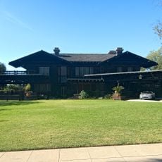
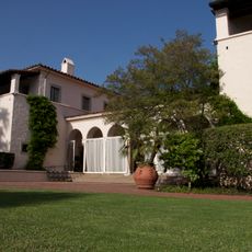
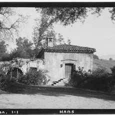
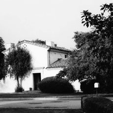
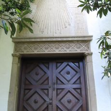
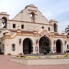
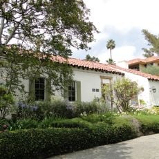
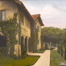
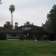
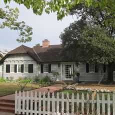
Mission San Gabriel Arcángel from 1771 brought Spanish settlers to Tongva territory. Over the centuries the valley grew from farmland into a densely settled suburban area.

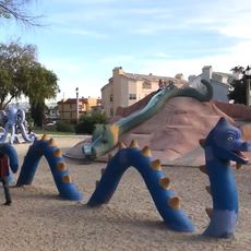
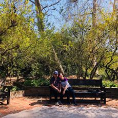
Neighborhoods are home to different communities whose shops and restaurants serve international dishes and whose signs fill the streets in several languages. Markets sell produce from Asia and Latin America while families gather in parks and shopping centers on weekends.

Most places in the valley are easiest to reach by car using freeways that run east and north. The cities offer public libraries, parks and community centers that are open during the day.

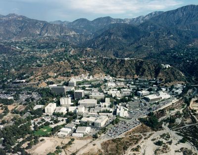
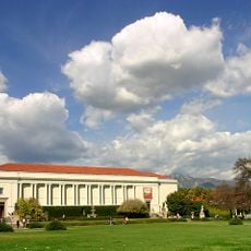
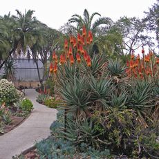
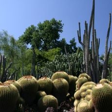
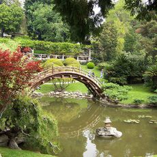
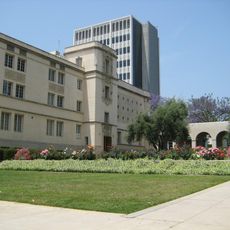
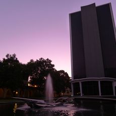
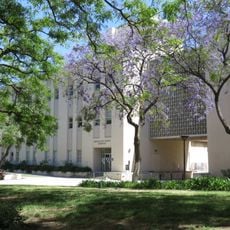
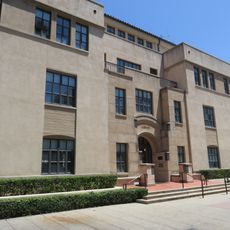
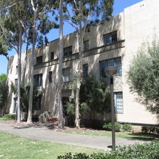
The valley is home to several large universities and research centers including the California Institute of Technology in Pasadena. Visitors can explore museums and public gardens on these campuses.

The community of curious travelers

AroundUs brings together thousands of curated places, local tips, and hidden gems, enriched daily by 60,000 contributors worldwide.

Start exploring
Location
Shares border with
Crescenta Valley
GPS coordinates
34.10194,-118.10278
Latest update
December 12, 2025 22:37
Around this place
The Huntington Library, Art Museum, and Botanical Gardens
United States of America

The Huntington Library, Art Museum, and Botanical Gardens

3.2 km
Robert R. Blacker House
United States of America

Robert R. Blacker House

3.9 km
Athenaeum at Caltech
United States of America

Athenaeum at Caltech

4.3 km
Huntington Desert Garden
United States of America

Huntington Desert Garden

2.9 km
El Molino Viejo
United States of America

El Molino Viejo

3 km
Edwin Hubble House
United States of America

Edwin Hubble House

2.8 km
Hale Solar Laboratory
United States of America

Hale Solar Laboratory

3.8 km
Vincent Lugo Park
United States of America

Vincent Lugo Park

2 km
San Gabriel Mission Playhouse
United States of America

San Gabriel Mission Playhouse

645 m
Desert Garden Conservatory
United States of America

Desert Garden Conservatory

2.9 km
Katherine Emery Estate
United States of America

Katherine Emery Estate

3.4 km
Spinks house
United States of America

Spinks house

3.6 km
Adobe Flores
United States of America

Adobe Flores

4.3 km
Cordelia A. Culbertson House
United States of America

Cordelia A. Culbertson House

4 km
Miltimore House
United States of America

Miltimore House

3.7 km
House at 674 Elliot Drive
United States of America

House at 674 Elliot Drive

4 km
House at 1011 S. Madison Ave.
United States of America

House at 1011 S. Madison Ave.

4.4 km
House at 1233 Wentworth Ave.
United States of America

House at 1233 Wentworth Ave.

3.9 km
House at 1050 S. Madison Ave.
United States of America

House at 1050 S. Madison Ave.

4.3 km
Jardín Botánico de Huntington
United States of America

Jardín Botánico de Huntington

2.9 km
Moon Bridge at Huntington Library
United States of America

Moon Bridge at Huntington Library

2.9 km
El Molino Viejo
United States of America

El Molino Viejo

3 km
Norman Bridge Laboratory of Physics
United States of America

Norman Bridge Laboratory of Physics

4.4 km
Caltech Hall
United States of America

Caltech Hall

4.4 km
Cahill Center for Astronomy and Astrophysics
United States of America

Cahill Center for Astronomy and Astrophysics

4.3 km
Firestone Flight Sciences Laboratory
United States of America

Firestone Flight Sciences Laboratory

4.3 km
Sherman Fairchild Library of Engineering and Applied Science
United States of America

Sherman Fairchild Library of Engineering and Applied Science

4.4 km
Dabney Hall
United States of America

Dabney Hall

4.5 km
Show the full map
Reviews
Share your experience

No review yet

Discussions
Start a discussion...

No discussion yet

« San Gabriel Valley - Valley east of Los Angeles, California, US » is provided by Around Us (aroundus.com). Images and texts are derived from Wikimedia project under a Creative Commons license. You are allowed to copy, distribute, and modify copies of this page, under the conditions set by the license, as long as this note is clearly visible.

Discover hidden gems everywhere you go!

From secret cafés to breathtaking viewpoints, skip the crowded tourist spots and find places that match your style. Our app makes it easy with voice search, smart filtering, route optimization, and insider tips from travelers worldwide. Download now for the complete mobile experience.

Around Us App Screenshot

A unique approach to discovering new places

Le Figaro

All the places worth exploring

France Info

A tailor-made excursion in just a few clicks

20 Minutes

Around Us
Travel Guide & Maps
Download

Send to your phone

QR Code
1

Open the camera app on your mobile.

2

Point at the QR code with your camera. A notification will appear.

3

Tap the notification to open the link.