Enable Location

We need your location to show you interesting places around you

Discover nearby places

Find interesting locations and hidden gems around you

Precise directions

Get accurate directions and distances to places

Your location is never shared with other users. It's only used when you tap the location button.

Rosemead

Log in to your account

Start exploring — it's free

Trusted by 62,445 travelers worldwide

Continue with Google
Continue with Apple
or

We will send you a code to connect

By continuing, you accept our Terms and Conditions and our Privacy Policy

Check your inbox

We've sent a pincode in your inbox. Please enter the code below.

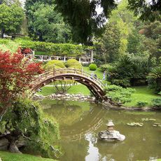
Rosemead, Urban residential city in Los Angeles County, United States

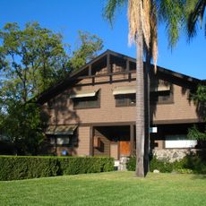
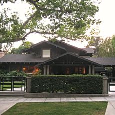
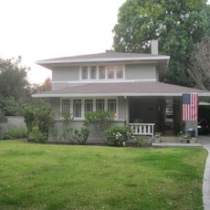
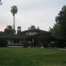
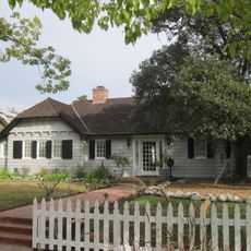
Rosemead is a city sprawling across the western San Gabriel Valley in Los Angeles County with residential neighborhoods and commercial districts. The urban area sits at roughly 97 meters elevation, with Garvey Avenue running through as a major thoroughfare.

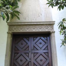
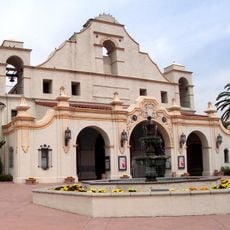
The area was originally home to Tongva peoples before Spanish missions arrived in 1771 and reshaped the territory. The modern city was formally incorporated in 1959 and has grown as an urban community since then.

Asian and Hispanic communities form the social fabric here, with their traditions visible in neighborhood celebrations and gathering spaces throughout the city. This cultural diversity shapes how residents interact with their surroundings and marks the rhythm of daily life.

The city features flat to gently rolling terrain with a regular street grid that makes navigation straightforward, especially by car. Visitors should know that public transportation is limited, so having a vehicle is helpful for getting around.

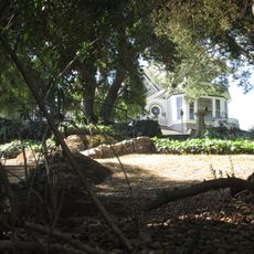
The Savannah Pioneer Cemetery is one of the oldest Protestant burial grounds in Los Angeles County, holding graves dating back to the region's early settlement days. The site offers a window into the family histories of the area and its roots as a frontier community.

The community of curious travelers

AroundUs brings together thousands of curated places, local tips, and hidden gems, enriched daily by 60,000 contributors worldwide.

Start exploring
Elevation above the sea
97 m
Shares border with
Alhambra, Arcadia, Monterey Park, San Gabriel, San Marino, Temple City, Montebello
GPS coordinates
34.07056,-118.08222
Latest update
December 14, 2025 19:33
Around this place
The Huntington Library, Art Museum, and Botanical Gardens
United States of America

The Huntington Library, Art Museum, and Botanical Gardens

7.1 km
Robert R. Blacker House
United States of America

Robert R. Blacker House

7.8 km
Rialto Theatre
United States of America

Rialto Theatre

7.9 km
Athenaeum at Caltech
United States of America

Athenaeum at Caltech

8.2 km
Queen Anne Cottage and Coach Barn
United States of America

Queen Anne Cottage and Coach Barn

8.3 km
Weingart Stadium
United States of America

Weingart Stadium

7.1 km
Armenian Genocide Martyrs Monument
United States of America

Armenian Genocide Martyrs Monument

6.5 km
Huntington Desert Garden
United States of America

Huntington Desert Garden

6.8 km
El Molino Viejo
United States of America

El Molino Viejo

6.8 km
Edwin Hubble House
United States of America

Edwin Hubble House

6.8 km
Hale Solar Laboratory
United States of America

Hale Solar Laboratory

7.8 km
Vincent Lugo Park
United States of America

Vincent Lugo Park

2.5 km
San Gabriel Mission Playhouse
United States of America

San Gabriel Mission Playhouse

3.9 km
Desert Garden Conservatory
United States of America

Desert Garden Conservatory

6.8 km
Katherine Emery Estate
United States of America

Katherine Emery Estate

7.4 km
Spinks house
United States of America

Spinks house

7.5 km
Adobe Flores
United States of America

Adobe Flores

7.9 km
Cordelia A. Culbertson House
United States of America

Cordelia A. Culbertson House

7.9 km
House at 530 S. Marengo Avenue
United States of America

House at 530 S. Marengo Avenue

5.7 km
Miltimore House
United States of America

Miltimore House

7.1 km
House at 674 Elliot Drive
United States of America

House at 674 Elliot Drive

7.9 km
House at 1011 S. Madison Ave.
United States of America

House at 1011 S. Madison Ave.

8.3 km
House at 1233 Wentworth Ave.
United States of America

House at 1233 Wentworth Ave.

7.8 km
Wynyate
United States of America

Wynyate

8.3 km
House at 1050 S. Madison Ave.
United States of America

House at 1050 S. Madison Ave.

8.2 km
Jardín Botánico de Huntington
United States of America

Jardín Botánico de Huntington

6.8 km
Moon Bridge at Huntington Library
United States of America

Moon Bridge at Huntington Library

6.9 km
El Molino Viejo
United States of America

El Molino Viejo

6.9 km
Show the full map
« Rosemead - Urban residential city in Los Angeles County, United States » is provided by Around Us (aroundus.com). Images and texts are derived from Wikimedia project under a Creative Commons license. You are allowed to copy, distribute, and modify copies of this page, under the conditions set by the license, as long as this note is clearly visible.

Discover hidden gems everywhere you go!

From secret cafés to breathtaking viewpoints, skip the crowded tourist spots and find places that match your style. Our app makes it easy with voice search, smart filtering, route optimization, and insider tips from travelers worldwide. Download now for the complete mobile experience.

Around Us App Screenshot

A unique approach to discovering new places

Le Figaro

All the places worth exploring

France Info

A tailor-made excursion in just a few clicks

20 Minutes

Around Us
Travel Guide & Maps
Download

Send to your phone

QR Code
1

Open the camera app on your mobile.

2

Point at the QR code with your camera. A notification will appear.

3

Tap the notification to open the link.