Chest opened
+${chestReward.xp} XP
Explorer
NOUVEAU ×${chestReward.collectible.quantity}
tapez pour fermer

See the monuments around you in AR Open chests in the app

Around Us is built for your phone — point your camera at the streets and discover the monuments and places around you in augmented reality. Around Us is built for your phone — chests unlock when you walk, explore and capture nearby places.

Enable Location

We need your location to show you interesting places around you

Discover nearby places

Find interesting locations and hidden gems around you

Precise directions

Get accurate directions and distances to places

Your location is never shared with other users. It's only used when you tap the location button.

Log in to your account

Start exploring — it's free

Trusted by 79,976 travelers worldwide

Continue with Google
Continue with Apple
or

We will send you a code to connect

By continuing, you accept our Terms and Conditions and our Privacy Policy

Check your inbox

We've sent a pincode in your inbox. Please enter the code below.

Gu Achi Peak
Discussion Reviews Photo
1.4k Popularity

Gu Achi Peak, Mountain summit in Santa Rosa Mountains, Arizona, USA.

Gu Achi Peak is a mountain summit in the Santa Rosa Mountains that rises to about 4,558 feet above sea level. The peak stands out in the surrounding desert landscape and serves as a key geographic marker in the region.

The O'odham peoples, particularly northern groups, made their home in the territories around Gu Achi Peak for many generations. This land held deep importance for their communities throughout their history in the region.

The name Gu Achi comes from the O'odham language and means 'big ridge', showing how indigenous peoples named places based on what they saw in the landscape. Local communities have long considered this area part of their ancestral lands.

The peak is located in a desert region and requires proper preparation before attempting to hike to the summit. Visitors should be ready for extreme heat, bring plenty of water, and always check weather conditions before starting any expedition.

Archaeological evidence found near this peak shows signs of ceremonial use by O'odham groups over many centuries. These findings reveal how important this location was for spiritual and community gatherings.

The community of curious travelers

AroundUs brings together thousands of curated places, local tips, and hidden gems, enriched daily by 60,000 contributors worldwide.

Start exploring
Location
GPS coordinates
32.34785,-111.87680
Latest update
July 24, 2026 04:43
Around this place
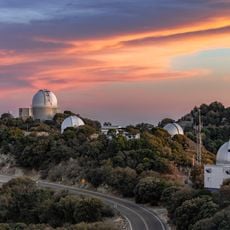
Kitt Peak National Observatory
United States of America

Kitt Peak National Observatory

50.8 km
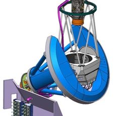
Dark Energy Spectroscopic Instrument
United States of America

Dark Energy Spectroscopic Instrument

50.8 km
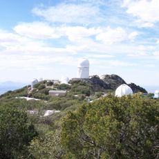
Kitt Peak
United States of America

Kitt Peak

50 km
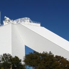
McMath–Pierce Solar Telescope
United States of America

McMath–Pierce Solar Telescope

50.8 km
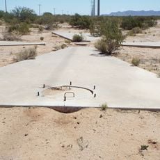
Corona Satellite Calibration Targets
United States of America

Corona Satellite Calibration Targets

49.5 km
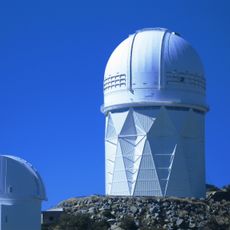
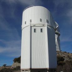
Nicholas U. Mayall Telescope
United States of America

Nicholas U. Mayall Telescope

50.1 km
Ventana Cave
United States of America

Ventana Cave

33.5 km
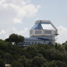
WIYN Telescope
United States of America

WIYN Telescope

50.6 km
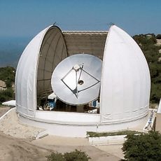
ARO 12m Radio Telescope
United States of America

ARO 12m Radio Telescope

50.4 km
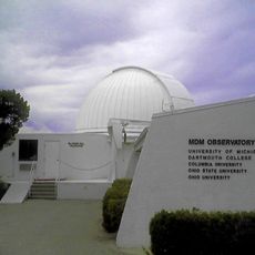
Michigan-Dartmouth-MIT Observatory
United States of America

Michigan-Dartmouth-MIT Observatory

50.5 km
Bok Telescope
United States of America

Bok Telescope

50.2 km
United States of America

Desert Beaver Observatory

48.3 km
United States of America

Coyote Mountains Wilderness

52.1 km
United States of America

Etoi Ki

43.3 km
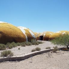
The Domes of Casa Grande
United States of America

The Domes of Casa Grande

52.7 km
McGraw-Hill Telescope
United States of America

McGraw-Hill Telescope

50.6 km
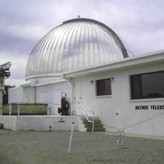
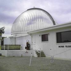
Hiltner 2.4m Telescope
United States of America

Hiltner 2.4m Telescope

50.5 km
United States of America

Kitt Peak VLBA station

50.2 km
SARA-KP
United States of America

SARA-KP

50.4 km
United States of America

Kitt Peak-Bok observatory

50.1 km
United States of America

Rocky Point

52.6 km
United States of America

Lake Saint Clair

33.8 km
United States of America

Arizona City Golf Course

48.7 km
United States of America

Titan II Missile Base 571-7

39.1 km
United States of America

Scenic viewpoint

50 km
United States of America

The Lookout

52.5 km
United States of America

Scenic viewpoint, rest area

49.9 km
United States of America

Scenic viewpoint, rest area

48.9 km
Show the full map
Reviews
Share your experience

No review yet

Discussions
Start a discussion...

No discussion yet

« Gu Achi Peak - Mountain summit in Santa Rosa Mountains, Arizona, USA » is provided by Around Us (aroundus.com). Images and texts are derived from Wikimedia project under a Creative Commons license. You are allowed to copy, distribute, and modify copies of this page, under the conditions set by the license, as long as this note is clearly visible.

Discover hidden gems everywhere you go!

From secret cafés to breathtaking viewpoints, skip the crowded tourist spots and find places that match your style. Our app makes it easy with voice search, smart filtering, route optimization, and insider tips from travelers worldwide. Download now for the complete mobile experience.

Around Us App Screenshot

A unique approach to discovering new places

Le Figaro

All the places worth exploring

France Info

A tailor-made excursion in just a few clicks

20 Minutes

Around Us
Travel Guide & Maps
Download

Send to your phone

QR Code
1

Open the camera app on your mobile.

2

Point at the QR code with your camera. A notification will appear.

3

Tap the notification to open the link.