Chest opened
+${chestReward.xp} XP
Explorer
NOUVEAU ×${chestReward.collectible.quantity}
tapez pour fermer

See the monuments around you in AR Open chests in the app

Around Us is built for your phone — point your camera at the streets and discover the monuments and places around you in augmented reality. Around Us is built for your phone — chests unlock when you walk, explore and capture nearby places.

Enable Location

We need your location to show you interesting places around you

Discover nearby places

Find interesting locations and hidden gems around you

Precise directions

Get accurate directions and distances to places

Your location is never shared with other users. It's only used when you tap the location button.

Log in to your account

Start exploring — it's free

Trusted by 88,251 travelers worldwide

Continue with Google
Continue with Apple
or

We will send you a code to connect

By continuing, you accept our Terms and Conditions and our Privacy Policy

Check your inbox

We've sent a pincode in your inbox. Please enter the code below.

Discussion Reviews Photo
3.8k Popularity

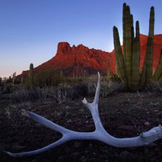
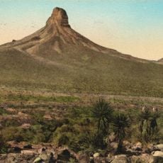
Ventana Cave, Archaeological site in Tohono O'odham Nation, Arizona.

Ventana Cave is a large rock shelter within the Tohono O'odham Nation region featuring engravings and painted images left by indigenous peoples across different time periods. The shelter itself displays layered deposits that hold clues about human activities spanning millennia.

Research in the 1940s revealed that people occupied this shelter during an extended time span, living through various phases of settlement and change. This work significantly shaped how archaeologists understand human occupation patterns across the region.

This shelter is known as Nakaijegel in the O'odham language, reflecting the deep connection between the Tohono O'odham people and this location. The rock formations themselves are woven into how local communities understand their own past.

The site is located remotely and access requires coordination with organized tours since it sits within tribal land. Visitors should prepare for lengthy travel time and plan visits well in advance.

Buried within the layers, researchers found remains of extinct animal species such as prehistoric horses and tapirs that once roamed this area. These discoveries connect human history to the broader natural history of the landscape.

The community of curious travelers

AroundUs brings together thousands of curated places, local tips, and hidden gems, enriched daily by 60,000 contributors worldwide.
Start exploring
Location
GPS coordinates
32.35000,-112.23333
Latest update
September 22, 2026 11:04
Around this place
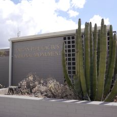
Organ Pipe Cactus National Monument
United States of America

Organ Pipe Cactus National Monument

43 mi
Sonoran Desert National Monument
United States of America

Sonoran Desert National Monument

45 mi
Ironwood Forest National Monument
United States of America

Ironwood Forest National Monument

39.6 mi
Kitt Peak
United States of America

Kitt Peak

45.7 mi
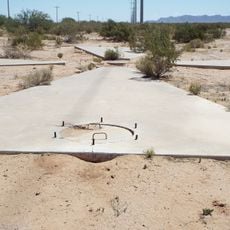
Corona Satellite Calibration Targets
United States of America

Corona Satellite Calibration Targets

41.2 mi
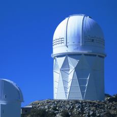
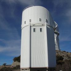
Nicholas U. Mayall Telescope
United States of America

Nicholas U. Mayall Telescope

45.7 mi
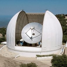
ARO 12m Radio Telescope
United States of America

ARO 12m Radio Telescope

45.4 mi
Michigan-Dartmouth-MIT Observatory
United States of America

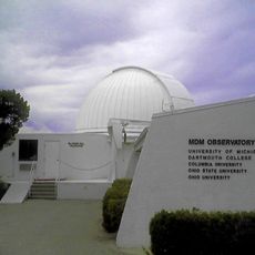
Michigan-Dartmouth-MIT Observatory

45.5 mi
Isanaklesh Peaks
United States of America

Isanaklesh Peaks

37.3 mi
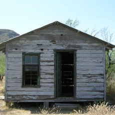
Bates Well Ranch
United States of America

Bates Well Ranch

43.8 mi
Bok Telescope
United States of America

Bok Telescope

45.7 mi
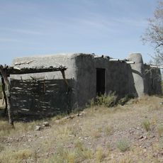
Dos Lomitas Ranch
United States of America

Dos Lomitas Ranch

45.2 mi
Valley National Bank
United States of America

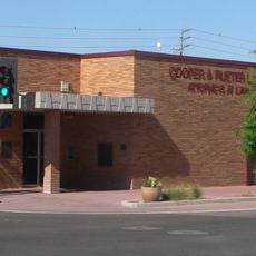
Valley National Bank

45.6 mi
Stone Warehouse
United States of America

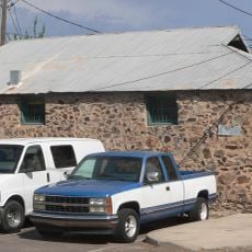
Stone Warehouse

45.9 mi
Cruz Trading Post
United States of America

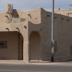
Cruz Trading Post

45.8 mi
Henry and Anna Kochsmeier House
United States of America

Henry and Anna Kochsmeier House

45.7 mi
McGraw-Hill Telescope
United States of America

McGraw-Hill Telescope

45.5 mi
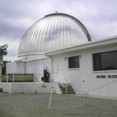
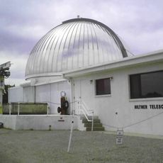
Hiltner 2.4m Telescope
United States of America

Hiltner 2.4m Telescope

45.5 mi
United States of America

Kitt Peak VLBA station

45.4 mi
SARA-KP
United States of America

SARA-KP

45.9 mi
Kris Eggle Visitor Center
United States of America

Kris Eggle Visitor Center

43 mi
Roadside Park Rest Area
United States of America

Roadside Park Rest Area

45.9 mi
United States of America

The Mushroom (Rock)

37.2 mi
United States of America

Scenic viewpoint

45.7 mi
United States of America

Bull Pasture Viewpoint

35.8 mi
United States of America

The Lookout

43.6 mi
United States of America

Scenic viewpoint, rest area

44.9 mi
United States of America

Scenic viewpoint, rest area

44.9 mi
Show the full map
Reviews
Share your experience

No review yet

Discussions
Start a discussion...

No discussion yet

« Ventana Cave - Archaeological site in Tohono O'odham Nation, Arizona » is provided by Around Us (aroundus.com). Images and texts are derived from Wikimedia project under a Creative Commons license. You are allowed to copy, distribute, and modify copies of this page, under the conditions set by the license, as long as this note is clearly visible.

Discover hidden gems everywhere you go!

From secret cafés to breathtaking viewpoints, skip the crowded tourist spots and find places that match your style. Our app makes it easy with voice search, smart filtering, route optimization, and insider tips from travelers worldwide. Download now for the complete mobile experience.

Around Us App Screenshot

A unique approach to discovering new places

Le Figaro

All the places worth exploring

France Info

A tailor-made excursion in just a few clicks

20 Minutes

Around Us
Travel Guide & Maps
Download

Send to your phone

QR Code
1

Open the camera app on your mobile.

2

Point at the QR code with your camera. A notification will appear.

3

Tap the notification to open the link.