Chest opened
+${chestReward.xp} XP
Explorer
NOUVEAU ×${chestReward.collectible.quantity}
tapez pour fermer

See the monuments around you in AR Open chests in the app

Around Us is built for your phone — point your camera at the streets and discover the monuments and places around you in augmented reality. Around Us is built for your phone — chests unlock when you walk, explore and capture nearby places.

•

Enable Location

We need your location to show you interesting places around you

Discover nearby places

Find interesting locations and hidden gems around you

Precise directions

Get accurate directions and distances to places

Your location is never shared with other users. It's only used when you tap the location button.

Isanaklesh Peaks

Log in to your account

Start exploring — it's free

Trusted by 88,816 travelers worldwide

Continue with Google
Continue with Apple
or

We will send you a code to connect

By continuing, you accept our Terms and Conditions and our Privacy Policy

Check your inbox

We've sent a pincode in your inbox. Please enter the code below.

Isanaklesh Peaks
Discussion Reviews 2 Photos
2.2k Popularity

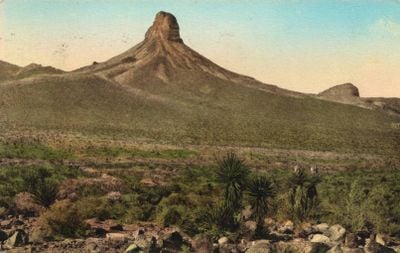
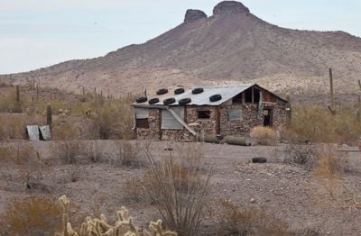
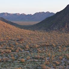
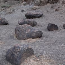
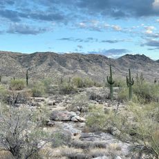
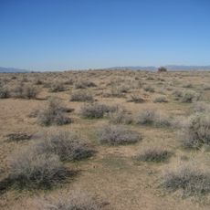
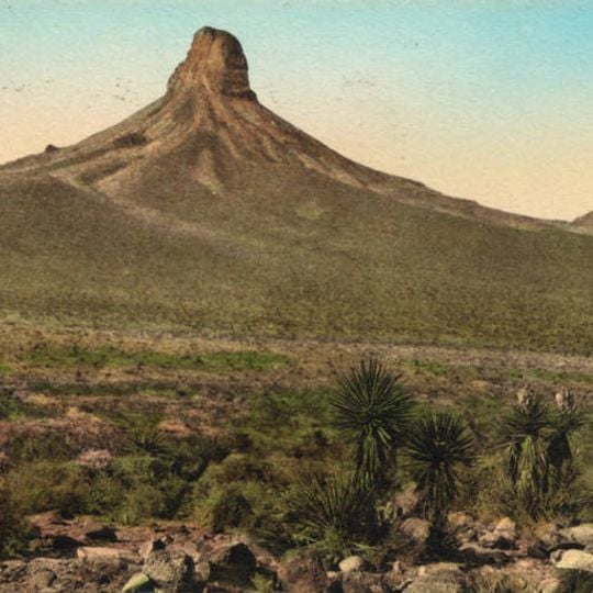
Isanaklesh Peaks, Mountain summit in Maricopa County, Arizona.

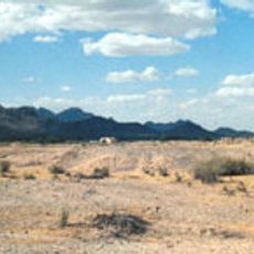
Isanaklesh Peaks rises to 2,478 feet above sea level within the San Tank Mountains, offering panoramic views of the surrounding Sonoran Desert landscape with rocky outcrops and sparse desert vegetation.

The peaks were previously known by a controversial name derived from their distinctive shape, but were renamed Isanaklesh to honor Apache mythology and remove offensive terminology linked to indigenous stereotypes.

Named after a female deity in Apache mythology representing Mother Earth, the peaks hold spiritual significance for Native American tribes who have used this area for ceremonies and territorial navigation for centuries.

Access to Isanaklesh Peaks requires hiking via unpaved roads and primitive trails, with visitors needing adequate water supplies, navigation tools, and sun protection due to the harsh desert environment conditions.

The summit serves as a vantage point for celestial observations, particularly summer solstice sunrise ceremonies, and visitors often report experiencing a profound sense of tranquility and connection to ancient traditions.

The community of curious travelers

AroundUs brings together thousands of curated places, local tips, and hidden gems, enriched daily by 60,000 contributors worldwide.
Start exploring
Location
Location
GPS coordinates
32.84866,-112.47598
Latest update
September 22, 2026 09:55
Around this place
Basin and Range Province
United States of America

Basin and Range Province

29.6 mi
Phoenix Raceway
United States of America

Phoenix Raceway

37.4 mi
Sonoran Desert National Monument
United States of America

Sonoran Desert National Monument

8.3 mi
Painted Rock Petroglyph Site
United States of America

Painted Rock Petroglyph Site

35.4 mi
South Mountain Park and Preserve
United States of America

South Mountain Park and Preserve

39.2 mi
Hohokam Pima National Monument
United States of America

Hohokam Pima National Monument

39.7 mi
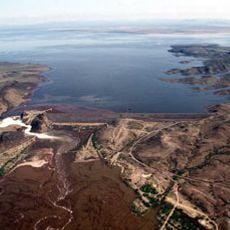
Painted Rock Dam
United States of America

Painted Rock Dam

35 mi
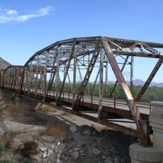
Gillespie Dam Highway Bridge
United States of America

Gillespie Dam Highway Bridge

31.2 mi
Gatlin Site
United States of America

Gatlin Site

16.2 mi
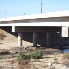
Hassayampa Bridge
United States of America

Hassayampa Bridge

37.4 mi
Sachs-Webster House
United States of America

Sachs-Webster House

39.4 mi
Laveen School Auditorium
United States of America

Laveen School Auditorium

39.8 mi
Tres Rios Environmental Restoration Project
United States of America

Tres Rios Environmental Restoration Project

39.9 mi
Gila Bend Visitor Center and Museum
United States of America

Gila Bend Visitor Center and Museum

16.2 mi
United States of America

Painted Rock Historic Park

35.4 mi
Rocky Point
United States of America

Rocky Point

39.5 mi
United States of America

The Church of Jesus Christ of Latter-day Saints

32.5 mi
United States of America

Maricopa M

33.5 mi
United States of America

The Church of Jesus Christ of Latter-day Saints

31.4 mi
United States of America

Cross

35.6 mi
United States of America

Battlefield Cross

39.7 mi
United States of America

Overlook

40.6 mi
United States of America

Scenic viewpoint

38.5 mi
United States of America

Scenic viewpoint

40.5 mi
United States of America

Scenic viewpoint

36.5 mi
United States of America

Ajo Mine Lookout

40.6 mi
United States of America

Star Tower

36.5 mi
United States of America

The Mushroom (Rock)

33.9 mi
Show the full map
Reviews
Share your experience

No review yet

Discussions
Start a discussion...

No discussion yet

« Isanaklesh Peaks - Mountain summit in Maricopa County, Arizona » is provided by Around Us (aroundus.com). Images and texts are derived from Wikimedia project under a Creative Commons license. You are allowed to copy, distribute, and modify copies of this page, under the conditions set by the license, as long as this note is clearly visible.

Discover hidden gems everywhere you go!

From secret cafés to breathtaking viewpoints, skip the crowded tourist spots and find places that match your style. Our app makes it easy with voice search, smart filtering, route optimization, and insider tips from travelers worldwide. Download now for the complete mobile experience.

Around Us App Screenshot
❝

A unique approach to discovering new places❞

— Le Figaro

❝

All the places worth exploring❞

— France Info

❝

A tailor-made excursion in just a few clicks❞

— 20 Minutes

Around Us
Travel Guide & Maps
Download

Send to your phone

QR Code
1

Open the camera app on your mobile.

2

Point at the QR code with your camera. A notification will appear.

3

Tap the notification to open the link.