Sonoran Desert National Monument, Nature reserve and national park in Pinal County, United States.
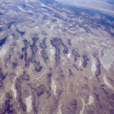
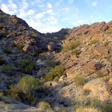
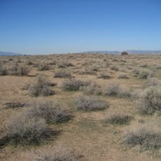
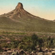
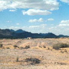
Sonoran Desert National Monument covers 496,400 acres south of Goodyear and Buckeye, Arizona, managed by the Bureau of Land Management. The Maricopa Mountains run northwest to southeast, rising to about 850 m, while Table Top Mountain in the southeast reaches 1,333 m and is visible from Phoenix. Saguaro cactus dominates the vegetation, with cholla, ocotillo, mesquite and creosote bush on the lower ground.
President Bill Clinton established the monument by proclamation on January 17, 2001, in his final days in office. The Bureau of Land Management already administered the federal land and continues to do so. In 1990, about 31% of the later monument area had been designated Wilderness: the North Maricopa Mountains, South Maricopa Mountains and Table Top Wilderness Areas.
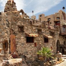
Archaeological sites throughout the monument tell the story of indigenous peoples and Spanish settlers who lived here for centuries. Walking the historic trails, you encounter remnants of their presence in the landscape.
Bring plenty of drinking water and stick to marked trails throughout your visit. Summer heat can exceed 110°F (43°C), so plan ahead with proper hydration and sun protection to stay safe.
Rainfall here follows two distinct seasons: winter and late summer, an unusual pattern for desert regions. This double rainy season creates the perfect conditions for the dense saguaro cactus populations you see throughout the monument.
The community of curious travelers
AroundUs brings together thousands of curated places, local tips, and hidden gems, enriched daily by 92,758 contributors worldwide.