Chest opened
+${chestReward.xp} XP
Explorer
NOUVEAU ×${chestReward.collectible.quantity}
tapez pour fermer

See the monuments around you in AR Open chests in the app

Around Us is built for your phone — point your camera at the streets and discover the monuments and places around you in augmented reality. Around Us is built for your phone — chests unlock when you walk, explore and capture nearby places.

Enable Location

We need your location to show you interesting places around you

Discover nearby places

Find interesting locations and hidden gems around you

Precise directions

Get accurate directions and distances to places

Your location is never shared with other users. It's only used when you tap the location button.

Bates Well Ranch

Log in to your account

Start exploring — it's free

Trusted by 85,028 travelers worldwide

Continue with Google
Continue with Apple
or

We will send you a code to connect

By continuing, you accept our Terms and Conditions and our Privacy Policy

Check your inbox

We've sent a pincode in your inbox. Please enter the code below.

Discussion Reviews 1 Photos
1.7k Popularity

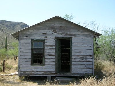
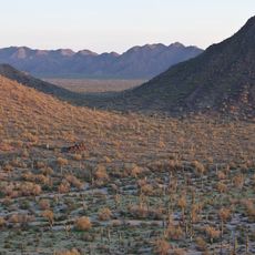
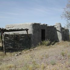
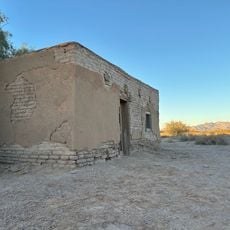
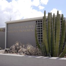
Bates Well Ranch, Historic cattle ranch in Organ Pipe Cactus National Monument, Arizona.

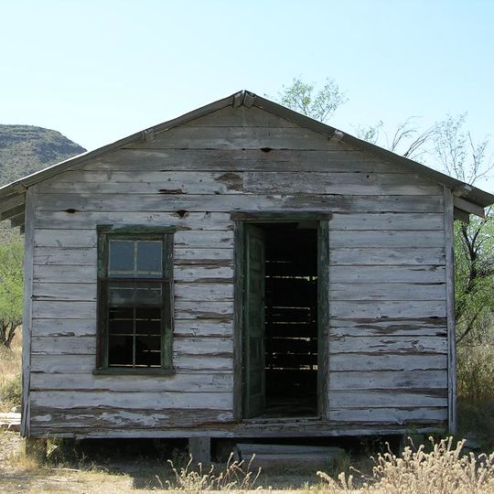
Bates Well Ranch is a historic cattle operation within Organ Pipe Cactus National Monument in Arizona. The property contains a main house, corrals, storage buildings, and windmill structures built from locally sourced desert materials.

The first well was dug in 1870 by W.B. Bates, but the property was developed as a major cattle operation starting in the 1930s. The operation continued for several decades before being preserved as a historic site.

The name comes from the wells that made this place valuable to those who lived here. Water and natural resources shaped how people used and thought about this location.

This site lies within a protected monument and visitors must obtain proper permits before exploring the grounds. Check current access rules with the monument office before planning your visit.

The main house was moved here in 1942 from an abandoned mining site nearby. It was built entirely from salvaged and found materials, showing how settlers made use of whatever was available.

The community of curious travelers

AroundUs brings together thousands of curated places, local tips, and hidden gems, enriched daily by 60,000 contributors worldwide.
Start exploring
Location
GPS coordinates
32.16833,-112.95028
Latest update
August 30, 2026 18:30
Around this place
Basin and Range Province
United States of America

Basin and Range Province

79.9 mi
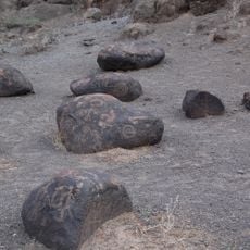
El Pinacate y Gran Desierto de Altar Biosphere Reserve
Mexico

El Pinacate y Gran Desierto de Altar Biosphere Reserve

47.1 mi
Sonoran Desert National Monument
United States of America

Sonoran Desert National Monument

57 mi
Painted Rock Petroglyph Site
United States of America

Painted Rock Petroglyph Site

59.4 mi
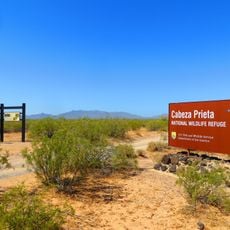
Cabeza Prieta National Wildlife Refuge
United States of America

Cabeza Prieta National Wildlife Refuge

29.2 mi
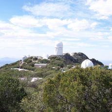
Kitt Peak
United States of America

Kitt Peak

80.4 mi
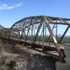
Gillespie Dam Highway Bridge
United States of America

Gillespie Dam Highway Bridge

74 mi
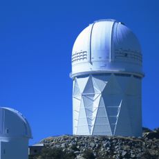
Nicholas U. Mayall Telescope
United States of America

Nicholas U. Mayall Telescope

80.4 mi
Ventana Cave
United States of America

Ventana Cave

43.8 mi
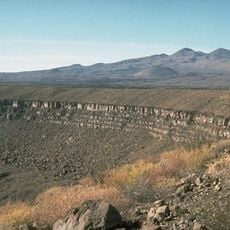
El Elegante Crater
Mexico

El Elegante Crater

34.1 mi
Cabeza Prieta Wilderness
United States of America

Cabeza Prieta Wilderness

28.3 mi
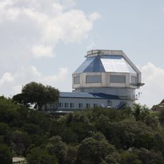
WIYN Telescope
United States of America

WIYN Telescope

80.4 mi
ARO 12m Radio Telescope
United States of America

ARO 12m Radio Telescope

79.7 mi
Michigan-Dartmouth-MIT Observatory
United States of America

Michigan-Dartmouth-MIT Observatory

79.6 mi
Isanaklesh Peaks
United States of America

Isanaklesh Peaks

54.6 mi
Bok Telescope
United States of America

Bok Telescope

80.4 mi
United States of America

Ajo Peak

11.9 mi
Gatlin Site
United States of America

Gatlin Site

58.4 mi
Dos Lomitas Ranch
United States of America

Dos Lomitas Ranch

24.7 mi
United States of America

Gu Achi Peak

64 mi
Gachado Well and Line Camp
United States of America

Gachado Well and Line Camp

22.7 mi
McGraw-Hill Telescope
United States of America

McGraw-Hill Telescope

79.6 mi
Aquariam Mar De Cortez
Mexico

Aquariam Mar De Cortez

69.2 mi
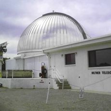
Hiltner 2.4m Telescope
United States of America

Hiltner 2.4m Telescope

79.7 mi
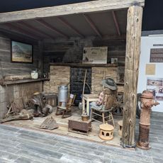
Gila Bend Visitor Center and Museum
United States of America

Gila Bend Visitor Center and Museum

55.2 mi
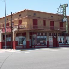
Stout's Hotel
United States of America

Stout's Hotel

55.6 mi
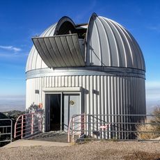
SARA-KP
United States of America

SARA-KP

80.5 mi
Kris Eggle Visitor Center
United States of America

Kris Eggle Visitor Center

17.2 mi
Show the full map
Reviews
Share your experience

No review yet

Discussions
Start a discussion...

No discussion yet

« Bates Well Ranch - Historic cattle ranch in Organ Pipe Cactus National Monument, Arizona » is provided by Around Us (aroundus.com). Images and texts are derived from Wikimedia project under a Creative Commons license. You are allowed to copy, distribute, and modify copies of this page, under the conditions set by the license, as long as this note is clearly visible.

Discover hidden gems everywhere you go!

From secret cafés to breathtaking viewpoints, skip the crowded tourist spots and find places that match your style. Our app makes it easy with voice search, smart filtering, route optimization, and insider tips from travelers worldwide. Download now for the complete mobile experience.

Around Us App Screenshot

A unique approach to discovering new places

Le Figaro

All the places worth exploring

France Info

A tailor-made excursion in just a few clicks

20 Minutes

Around Us
Travel Guide & Maps
Download

Send to your phone

QR Code
1

Open the camera app on your mobile.

2

Point at the QR code with your camera. A notification will appear.

3

Tap the notification to open the link.