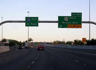
Interstate 10 in Arizona, Interstate highway across Arizona, United States
Interstate 10 crosses Arizona for 630 kilometers, linking the California state line at Ehrenberg with the New Mexico border near San Simon. The highway runs through four counties and passes by the Phoenix metro area, the city of Tucson, and long stretches of open desert terrain.
Construction started in 1960 as part of the national defense highway program launched under President Eisenhower. The final section opened in 1990, completing three decades of work carried out in shifting segments across the state.
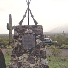
The road passes through territories where Tohono O'odham and Yaqui cultures remain visible, especially in sections south of Tucson. Along the route, several reservation communities maintain visitor centers where travelers can see traditional crafts and learn about the area's indigenous roots.
Service areas, fuel stations, and small towns with restaurants and shops appear at regular intervals, giving drivers enough opportunities to refuel and take breaks. Summer heat can become extreme, so carrying extra water and checking vehicle condition before crossing longer desert sections is advisable.
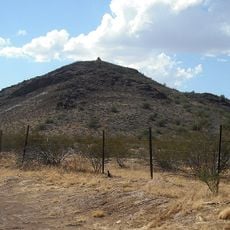
Between Benson and Willcox, the route cuts through Texas Canyon, where massive weathered granite boulders form odd shapes and stack into balancing towers. This rock landscape stands in sharp contrast to the flat desert surroundings and offers a sight more reminiscent of alpine regions than the typical Sonoran environment.
The community of curious travelers
AroundUs brings together thousands of curated places, local tips, and hidden gems, enriched daily by 60,000 contributors worldwide.