Fort Bowie
17.2 km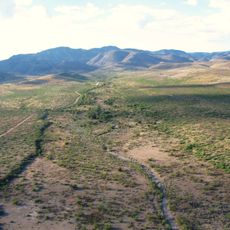
Skeleton Canyon
55.2 km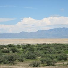
Willcox Playa
49.9 km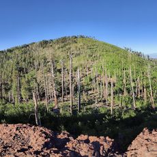
Chiricahua Peak
19.2 km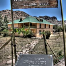
Faraway Ranch Historic District
3.1 km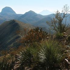
Leslie Canyon National Wildlife Refuge
50 km
Gleeson Jail
55.7 km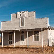
Cochise Hotel
55.8 km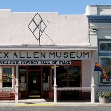
Rex Allen Arizona Cowboy Museum and Willcox Cowboy Hall of Fame
53.4 km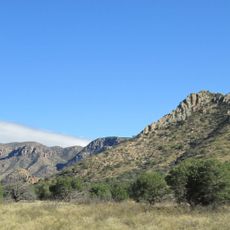
Bonita Canyon
1.5 km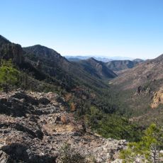
Rucker Canyon
30.2 km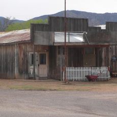
J.H. Smith Grocery Store and Filling Station
65.8 km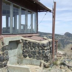
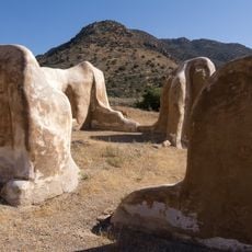
Chiricahua National Monument Historic Designed Landscape
1.5 km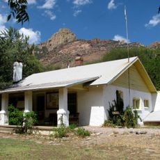
Portal Ranger Station
21.2 km
Our Lady of Victory Catholic Church
47 km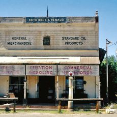
Pearce General Store
46.9 km
Johnson-Tillotson House
53.6 km
John Gung'l House
53.8 km
Benjamin E. Briscoe House
54.3 km
Fort Bowie National Historic Site
18.4 km
Bowie School District No. 14
37.5 km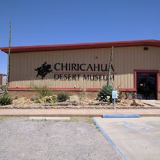
Chiricahua Desert Museum
33 km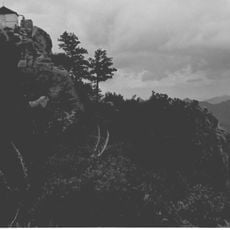
Silver Peak Lookout Complex
17.9 km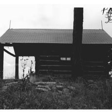
Monte Vista Lookout Cabin
21.1 km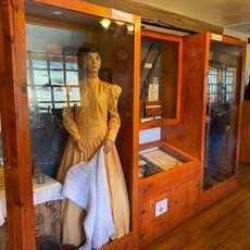
Fort Bowie Ranger Station & Visitor Center
17.3 km
Sugarloaf Mountain Lookout
1.5 km
Horseshoe Canyon
33.8 km
Bonita Canyon Campground
1.4 kmReviews
Visited this place? Tap the stars to rate it and share your experience / photos with the community! Try now! You can cancel it anytime.
Discover hidden gems everywhere you go!
From secret cafés to breathtaking viewpoints, skip the crowded tourist spots and find places that match your style. Our app makes it easy with voice search, smart filtering, route optimization, and insider tips from travelers worldwide. Download now for the complete mobile experience.

A unique approach to discovering new places❞
— Le Figaro
All the places worth exploring❞
— France Info
A tailor-made excursion in just a few clicks❞
— 20 Minutes