Chest opened
+${chestReward.xp} XP
Explorer
NOUVEAU ×${chestReward.collectible.quantity}
tapez pour fermer

See the monuments around you in AR Open chests in the app

Around Us is built for your phone — point your camera at the streets and discover the monuments and places around you in augmented reality. Around Us is built for your phone — chests unlock when you walk, explore and capture nearby places.

Enable Location

We need your location to show you interesting places around you

Discover nearby places

Find interesting locations and hidden gems around you

Precise directions

Get accurate directions and distances to places

Your location is never shared with other users. It's only used when you tap the location button.

Log in to your account

Start exploring — it's free

Trusted by 81,224 travelers worldwide

Continue with Google
Continue with Apple
or

We will send you a code to connect

By continuing, you accept our Terms and Conditions and our Privacy Policy

Check your inbox

We've sent a pincode in your inbox. Please enter the code below.

Needle's Eye Wilderness
Discussion Reviews Photo
1.3k Popularity

Needle's Eye Wilderness, Wilderness area in Gila County, Arizona

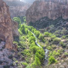
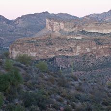
Needle's Eye Wilderness is a protected area in Gila County, Arizona, spanning roughly 8,760 acres and featuring limestone cliffs, deep canyons, and the winding Gila River cutting through the Mescal Mountains. The landscape is surrounded by private lands, an Apache reservation, and state trust territories.

The area was designated in 1990 by the Bureau of Land Management as part of the National Wilderness Preservation System, protecting its natural resources and geological formations. This designation recognized the need to preserve this fragmented landscape amid competing interests from various landowners and tribes.

The area borders the San Carlos Apache Reservation, and visitors should respect the traditional territories of Native American communities. The landscape holds deep spiritual significance for local tribes.

Access requires advance permission because the area is surrounded by private lands, an Apache reservation, and state trust territories. Visitors should research regulations and obtain all necessary permits before heading to the site.

Three narrow canyons along the Gila River form passages through 1,000-foot (305 m) limestone walls, the geological feature that gives this area its name. This needle-eye formation took thousands of years to develop through erosion and remains one of the most striking aspects of the place.

The community of curious travelers

AroundUs brings together thousands of curated places, local tips, and hidden gems, enriched daily by 60,000 contributors worldwide.
Start exploring
Location
GPS coordinates
33.15222,-110.61306
Latest update
August 4, 2026 18:38
Around this place
Aravaipa Canyon Wilderness
United States of America

Aravaipa Canyon Wilderness

30.7 km
San Carlos Lake
United States of America

San Carlos Lake

18.7 km
Camp Grant
United States of America

Camp Grant

35.8 km
Besh-Ba-Gowah
United States of America

Besh-Ba-Gowah

29.5 km
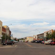
Globe Downtown Historic District
United States of America

Globe Downtown Historic District

31.4 km
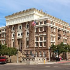
Gila County Courthouse
United States of America

Gila County Courthouse

31.6 km
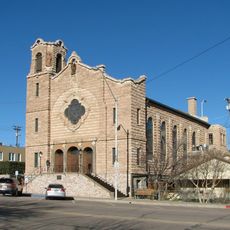
Our Lady of the Blessed Sacrament Church
United States of America

Our Lady of the Blessed Sacrament Church

36.6 km
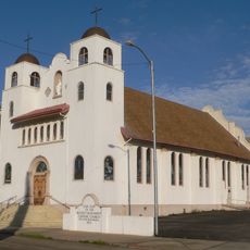
Holy Angels Church
United States of America

Holy Angels Church

31.4 km
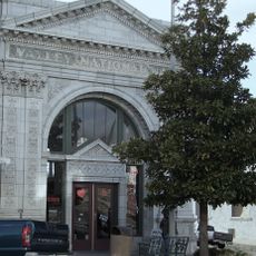
Gila Valley Bank and Trust Building
United States of America

Gila Valley Bank and Trust Building

31.1 km
Winkelman Bridge
United States of America

Winkelman Bridge

23.8 km
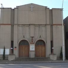
Miami Community Church
United States of America

Miami Community Church

36.3 km
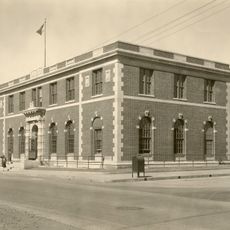
United States Post Office and Courthouse–Globe Main
United States of America

United States Post Office and Courthouse–Globe Main

30.6 km
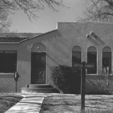
Globe Ranger Station
United States of America

Globe Ranger Station

29.1 km
White Canyon Wilderness
United States of America

White Canyon Wilderness

45.6 km
Besh-Ba-Gowah Museum
United States of America

Besh-Ba-Gowah Museum

29.6 km
Bullion Plaza Cultural Center and Museum
United States of America

Bullion Plaza Cultural Center and Museum

36.6 km
Gila County Historical Museum
United States of America

Gila County Historical Museum

33.3 km
Coolidge Dam
United States of America

Coolidge Dam

8.4 km
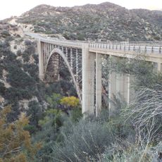
Pinto Creek Bridge
United States of America

Pinto Creek Bridge

39.6 km
United States of America

Laurel canyon

41.7 km
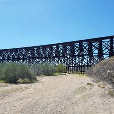
Mammoth Wash Trestle Bridge
United States of America

Mammoth Wash Trestle Bridge

50.6 km
Wood Canyon
United States of America

Wood Canyon

47.9 km
United States of America

Old Dominion Mine Park

33.4 km
United States of America

S

47.2 km
United States of America

Scenic viewpoint

8.4 km
United States of America

Scenic viewpoint

31.6 km
United States of America

Waterfall

40.3 km
United States of America

Waterfall

39.9 km
Show the full map
Reviews
Share your experience

No review yet

Discussions
Start a discussion...

No discussion yet

« Needle's Eye Wilderness - Wilderness area in Gila County, Arizona » is provided by Around Us (aroundus.com). Images and texts are derived from Wikimedia project under a Creative Commons license. You are allowed to copy, distribute, and modify copies of this page, under the conditions set by the license, as long as this note is clearly visible.

Discover hidden gems everywhere you go!

From secret cafés to breathtaking viewpoints, skip the crowded tourist spots and find places that match your style. Our app makes it easy with voice search, smart filtering, route optimization, and insider tips from travelers worldwide. Download now for the complete mobile experience.

Around Us App Screenshot

A unique approach to discovering new places

Le Figaro

All the places worth exploring

France Info

A tailor-made excursion in just a few clicks

20 Minutes

Around Us
Travel Guide & Maps
Download

Send to your phone

QR Code
1

Open the camera app on your mobile.

2

Point at the QR code with your camera. A notification will appear.

3

Tap the notification to open the link.