
Duncan, town in Greenlee County, Arizona, United States
Location: Greenlee County
Inception: 1938
Elevation above the sea: 1,114 m
GPS coordinates: 32.72583,-109.09778
Latest update: September 8, 2025 16:40
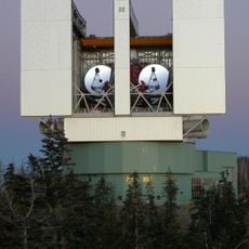
Large Binocular Telescope
74.2 km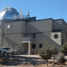
Vatican Advanced Technology Telescope
74.4 km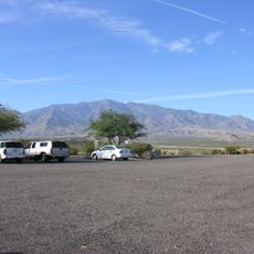
Mount Graham
72.5 km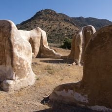
Fort Bowie
72.2 km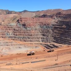
Morenci Mine
47.7 km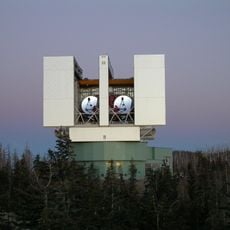
Mount Graham International Observatory
74.4 km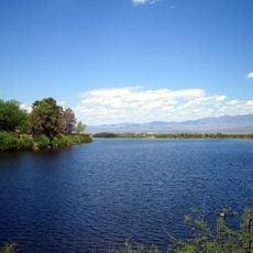
Roper Lake State Park
57 km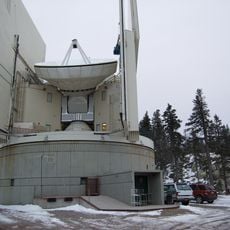
Heinrich Hertz Submillimeter Telescope
74.4 km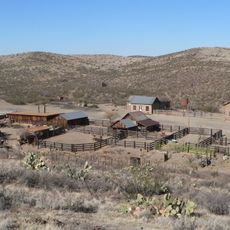
Shakespeare
55.9 km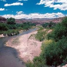
Gila Box Riparian National Conservation Area
42.2 km
Point of Pines Sites
59.1 km
Park Avenue Bridge
41.3 km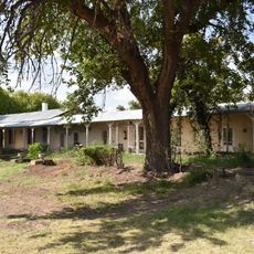
L.C. Ranch Headquarters
55.2 km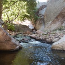
Whitewater Creek
68.5 km
Clifton Townsite Historic District
41.2 km
William Talley House
58.3 km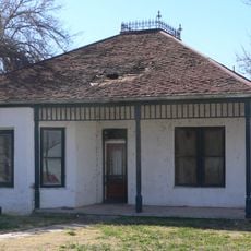
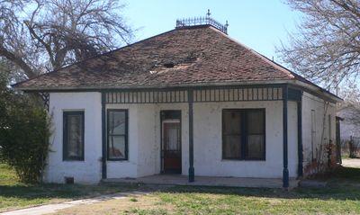
Benjamin F. Billingsley House
941 m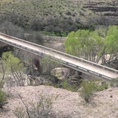
Gila River Bridge
33.2 km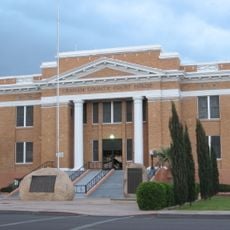
Graham County Courthouse
59.1 km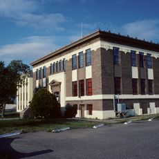
Hidalgo County Courthouse
55.8 km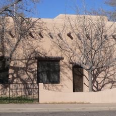
Lordsburg-Hidalgo County Library
55.8 km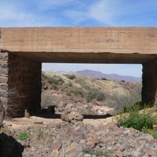
Black Gap Bridge
32.1 km
Old Lordsburg High School
55.4 km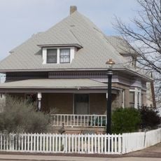
James R. Welker House
58.5 km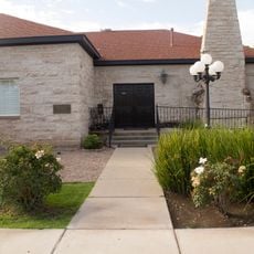
Woman's Club
58.5 km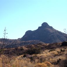
Fort Bowie National Historic Site
72.3 km
Bowie School District No. 14
57.8 km
Fort Bowie Ranger Station & Visitor Center
72 kmReviews
Visited this place? Tap the stars to rate it and share your experience / photos with the community! Try now! You can cancel it anytime.
Discover hidden gems everywhere you go!
From secret cafés to breathtaking viewpoints, skip the crowded tourist spots and find places that match your style. Our app makes it easy with voice search, smart filtering, route optimization, and insider tips from travelers worldwide. Download now for the complete mobile experience.

A unique approach to discovering new places❞
— Le Figaro
All the places worth exploring❞
— France Info
A tailor-made excursion in just a few clicks❞
— 20 Minutes