Mount Graham, Mountain summit in Graham County, Arizona, United States
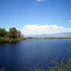
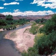
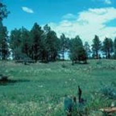
Mount Graham rises as the highest point of the Pinaleño Mountains and features five distinct vegetation zones that transition from desert plants at lower elevations to dense conifer forests near the summit. The mountain landscape displays a clear change in plant life as you climb higher.
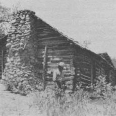
The mountain served as homeland for the Western Apache people for centuries before American surveyors arrived in 1846 and named it after an officer's friend. This naming marked the beginning of American presence in the region during westward expansion.
The Western Apache people call this mountain Dził Nchaa Sí'an and regard it as one of their sacred places in the region. Visitors walking the slopes can sense the spiritual connection that the community has maintained here for generations.
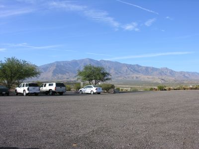
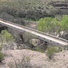
During summer, the Swift Trail allows vehicles to reach higher elevations easily, saving time for those wanting to explore the upper mountain area. Winter conditions close this road, requiring hikers to start from the Shannon Campground and walk the entire route.
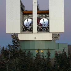
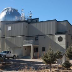
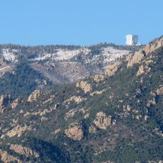
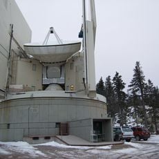
An international observatory on the summit operates advanced telescopes under a special Congressional authorization that was controversial due to environmental concerns. The facility demonstrates the mountain's importance to astronomical research despite the ongoing debates.
The community of curious travelers
AroundUs brings together thousands of curated places, local tips, and hidden gems, enriched daily by 60,000 contributors worldwide.