Enable Location

We need your location to show you interesting places around you

Discover nearby places

Find interesting locations and hidden gems around you

Precise directions

Get accurate directions and distances to places

Your location is never shared with other users. It's only used when you tap the location button.

Graham County

Log in to your account

Start exploring — it's free

Trusted by 63,212 travelers worldwide

Continue with Google
Continue with Apple
or

We will send you a code to connect

By continuing, you accept our Terms and Conditions and our Privacy Policy

Check your inbox

We've sent a pincode in your inbox. Please enter the code below.

Discussion Reviews 1 Photos
24.2k Popularity

Graham County, Administrative county in southeastern Arizona, United States

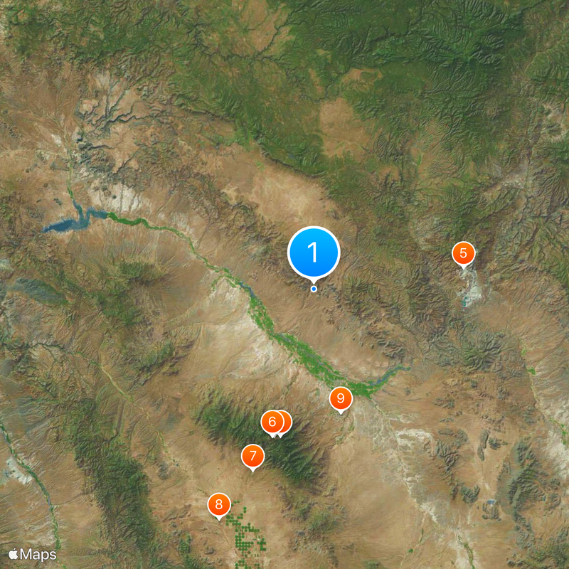
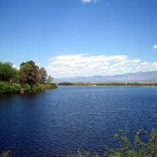
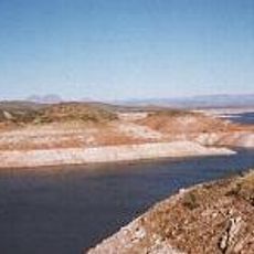
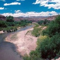
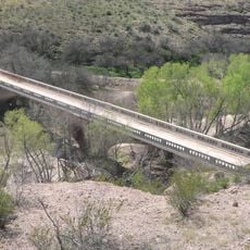
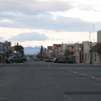
Graham County sits in southeastern Arizona and encompasses a landscape shaped by mountains, valleys, and flowing waterways. Safford serves as the main city, functioning as the administrative and economic center that guides regional activity.

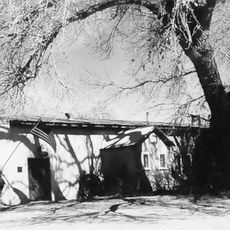
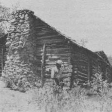
The county was established in 1881 when Apache and Pima counties were divided during Arizona's territorial reorganization. This creation was part of the broader administrative restructuring that followed the region's settlement expansion.

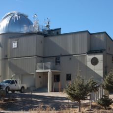
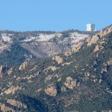
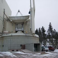
Mount Graham, part of the Pinaleño Mountains within the county boundaries, holds astronomical research facilities and environmental preservation areas.

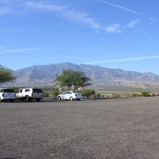
The county is crossed by multiple highways that help visitors navigate through mountain passes and valleys. Fall and spring offer the best visiting conditions, when temperatures stay moderate and the weather remains stable.

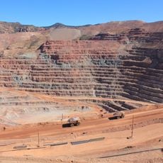
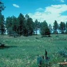
Agricultural production drives the local economy, with farmers cultivating cotton, alfalfa, and vegetables in the fertile soil of Graham County.

The community of curious travelers

AroundUs brings together thousands of curated places, local tips, and hidden gems, enriched daily by 60,000 contributors worldwide.

Start exploring
Location
Inception
1881
Capital city
Safford
Shares border with
Navajo County, Cochise County, Apache County, Greenlee County, Gila County, Pinal County, Pima County
GPS coordinates
33.04000,-109.78000
Latest update
December 20, 2025 12:58
Around this place
Large Binocular Telescope
United States of America

Large Binocular Telescope

39.1 km
Vatican Advanced Technology Telescope
United States of America

Vatican Advanced Technology Telescope

39.1 km
Mount Graham
United States of America

Mount Graham

38.6 km
Morenci Mine
United States of America

Morenci Mine

39 km
Mount Graham International Observatory
United States of America

Mount Graham International Observatory

39.1 km
United States of America

Fort Grant

49 km
Sierra Bonita Ranch
United States of America

Sierra Bonita Ranch

63.8 km
Roper Lake State Park
United States of America

Roper Lake State Park

32.4 km
San Carlos Lake
United States of America

San Carlos Lake

62.4 km
Heinrich Hertz Submillimeter Telescope
United States of America

Heinrich Hertz Submillimeter Telescope

39.1 km
Gila Box Riparian National Conservation Area
United States of America

Gila Box Riparian National Conservation Area

30.6 km
Galiuro Wilderness
United States of America

Galiuro Wilderness

72.1 km
United States of America

Cluff Ranch Ponds

25.8 km
Point of Pines Sites
United States of America

Point of Pines Sites

23.8 km
United States of America

Frye Mesa Reservoir

32.3 km
United States of America

Bear Wallow Wilderness

69.8 km
United States of America

Buena Vista Hotel

23.9 km
Park Avenue Bridge
United States of America

Park Avenue Bridge

44.9 km
United States of America

Roper Lake State Park Hot Spring

32.7 km
United States of America

Hot Well Dunes

66.4 km
Clifton Townsite Historic District
United States of America

Clifton Townsite Historic District

45 km
United States of America

Fishhooks Wilderness

27 km
William Talley House
United States of America

William Talley House

24.6 km
United States of America

Governor Aker Observatory

27.2 km
United States of America

Safford High School

24.4 km
Gila River Bridge
United States of America

Gila River Bridge

44.8 km
Graham County Courthouse
United States of America

Graham County Courthouse

23.8 km
Columbine Work Station
United States of America

Columbine Work Station

39.5 km
Show the full map
Reviews
Share your experience

No review yet

Discussions
Start a discussion...

No discussion yet

Administrative divisions
« Graham County - Administrative county in southeastern Arizona, United States » is provided by Around Us (aroundus.com). Images and texts are derived from Wikimedia project under a Creative Commons license. You are allowed to copy, distribute, and modify copies of this page, under the conditions set by the license, as long as this note is clearly visible.

Discover hidden gems everywhere you go!

From secret cafés to breathtaking viewpoints, skip the crowded tourist spots and find places that match your style. Our app makes it easy with voice search, smart filtering, route optimization, and insider tips from travelers worldwide. Download now for the complete mobile experience.

Around Us App Screenshot

A unique approach to discovering new places

Le Figaro

All the places worth exploring

France Info

A tailor-made excursion in just a few clicks

20 Minutes

Around Us
Travel Guide & Maps
Download

Send to your phone

QR Code
1

Open the camera app on your mobile.

2

Point at the QR code with your camera. A notification will appear.

3

Tap the notification to open the link.