
Pinedale Ranger Station
Pinedale Ranger Station, is in the Apache-Sitgreaves National Forest, and located near Pinedale in Navajo County, Arizona
Location: Arizona
Architectural style: bungalow
GPS coordinates: 34.06222,-110.24833
Latest update: September 23, 2025 14:48
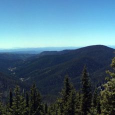
Mount Baldy
65.6 km
Round Valley Ensphere
89 km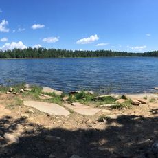
Willow Springs Lake
64.4 km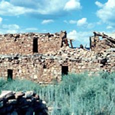
Kinishba Ruins
32.9 km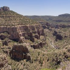
Salt River Canyon Wilderness
69.3 km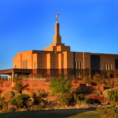
Snowflake Arizona Temple
50.6 km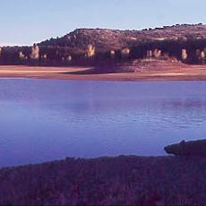
Lyman Reservoir
87.7 km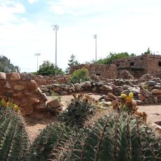
Besh-Ba-Gowah
89.9 km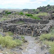
Casa Malpaís
88 km
Globe Downtown Historic District
89.4 km
Gila County Courthouse
89.3 km
Sierra Ancha Wilderness
64 km
Holy Angels Church
89.4 km
Cedar Canyon Bridge
3.6 km
Gila Valley Bank and Trust Building
88.8 km
Elks Building
88.8 km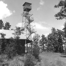
Lake Mountain Lookout Complex
45.4 km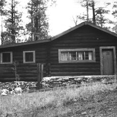
Butterfly Lodge
73.9 km
Eagar Townsite Historic District
88.3 km
Corduroy Creek Bridge
10.1 km
Pleasant Valley Ranger Station
64.1 km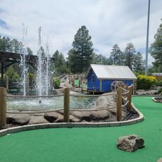
White Mountain Family Fun Park
25.5 km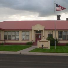
Eagar School
88.3 km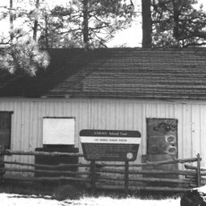
Los Burros Ranger Station
45.4 km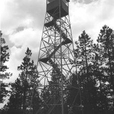
PS Knoll Lookout Complex
85.7 km
Besh-Ba-Gowah Museum
90 km
Horton Creek Trail #285
83.1 km
Show Low Historical Society
28.8 kmReviews
Visited this place? Tap the stars to rate it and share your experience / photos with the community! Try now! You can cancel it anytime.
Discover hidden gems everywhere you go!
From secret cafés to breathtaking viewpoints, skip the crowded tourist spots and find places that match your style. Our app makes it easy with voice search, smart filtering, route optimization, and insider tips from travelers worldwide. Download now for the complete mobile experience.

A unique approach to discovering new places❞
— Le Figaro
All the places worth exploring❞
— France Info
A tailor-made excursion in just a few clicks❞
— 20 Minutes