
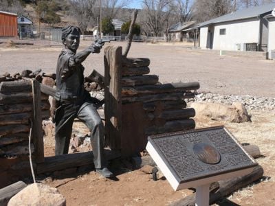
Reserve, village in and county seat of Catron County, New Mexico, United States
Location: Catron County
Elevation above the sea: 1,760 m
GPS coordinates: 33.70860,-108.76100
Latest update: June 3, 2025 04:49
Gila Wilderness
70 km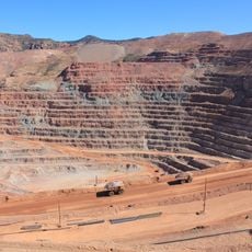
Morenci Mine
88.9 km
Mount Baldy
77.3 km
Mogollon
34.8 km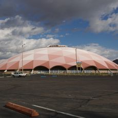
Round Valley Ensphere
66.7 km
Escudilla Mountain
43.6 km
Zuñi Salt Lake
82.5 km
Lyman Reservoir
91.3 km
Apache National Forest
33 km
Casa Malpaís
69.9 km
Alpine Elementary School
37.8 km
Park Avenue Bridge
88.2 km
L.C. Ranch Headquarters
84.5 km
Butterfly Lodge
72.4 km
Whitewater Creek
45.4 km
Eagar Townsite Historic District
66.2 km
Clifton Townsite Historic District
88.2 km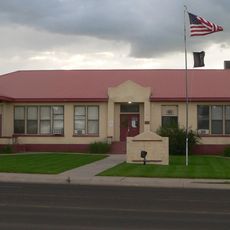
Eagar School
66.2 km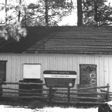
Los Burros Ranger Station
104.5 km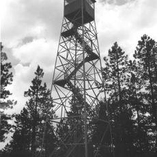
PS Knoll Lookout Complex
59.2 km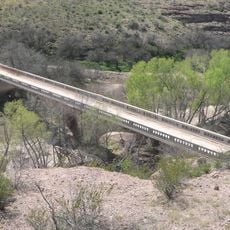
Gila River Bridge
97.2 km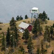
Mogollon Baldy Lookout Cabin
51 km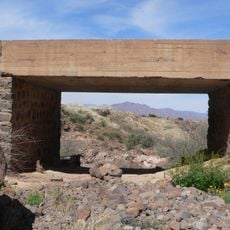
Black Gap Bridge
99.5 km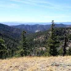
Gallo Mountains
43.2 km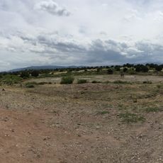
Cosmic Campground
29.5 km
Gila Cliff Dwellings Bookstore Western National Parks Association
70.5 km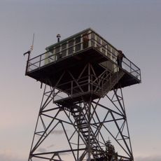
Mogollon Baldy Lookout
51.1 km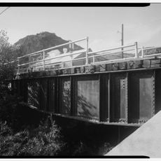
Chase Creek Railroad Bridge
88.1 kmReviews
Visited this place? Tap the stars to rate it and share your experience / photos with the community! Try now! You can cancel it anytime.
Discover hidden gems everywhere you go!
From secret cafés to breathtaking viewpoints, skip the crowded tourist spots and find places that match your style. Our app makes it easy with voice search, smart filtering, route optimization, and insider tips from travelers worldwide. Download now for the complete mobile experience.

A unique approach to discovering new places❞
— Le Figaro
All the places worth exploring❞
— France Info
A tailor-made excursion in just a few clicks❞
— 20 Minutes