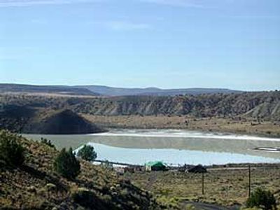
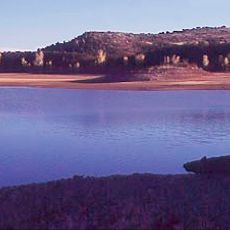
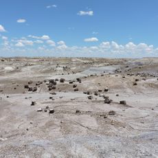
Zuñi Salt Lake, Sacred salt lake in Catron County, US.
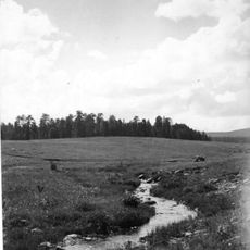
Zuñi Salt Lake is a shallow volcanic crater lake that reaches only about 4 feet (1 meter) in depth during wet seasons and transforms into salt flats through natural evaporation. The basin sits at about 6,200 feet (1,900 meters) elevation and supports a specialized ecosystem of brine shrimp, alkali flies, and cyanobacteria.
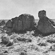
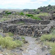
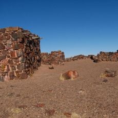
Spanish conquistadors first documented this area in 1598 when Juan de Oñate sent Captain Marcos Farfán to investigate the geological formation. The site was known as Salinas at that time and already held significance for local communities.
Multiple Native American tribes from the region, including Zuni, Apache, Hopi, Acoma, and Laguna peoples, visit this site regularly for traditional ceremonies. They gather salt here for ritual practices that continue to this day.
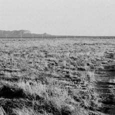
The lake sits at about 1,900 meters elevation in a dry highland region of New Mexico where conditions vary with the seasons. Visitors should prepare for desert conditions and respect the traditional use of the site by tribes.
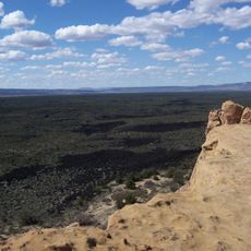
The area spans about 75,000 hectares and functions as neutral territory where different tribes gather to access the sacred waters without conflict. This unusual peaceful space allows communities that otherwise inhabit separate territories to meet at the same sacred site.
The community of curious travelers
AroundUs brings together thousands of curated places, local tips, and hidden gems, enriched daily by 60,000 contributors worldwide.