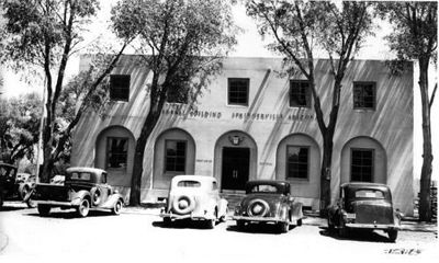
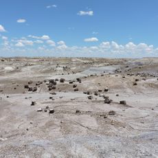
Springerville, town in Apache County, Arizona, United States
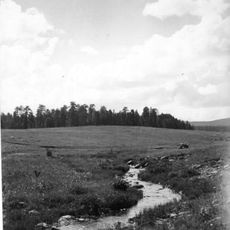
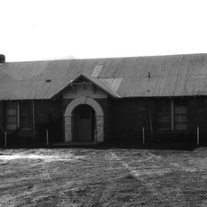
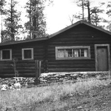
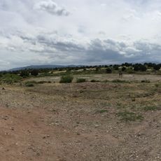
Springerville is a small town in Apache County in northeastern Arizona, situated in a valley called Round Valley shared with the neighboring community of Eager. The settlement grew from a trading post and today occupies a quiet landscape with modest buildings and an unhurried pace of daily life.
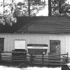
Founded in 1879 by ranchers and farmers seeking good land in the mountain valleys, the town took shape around Henry Springer's trading operation. The arrival of the railroad expanded opportunities and connected the remote settlement to broader commerce and travel routes.
The town carries the name of Henry Springer, a trader whose post became the foundation of this community. Residents still refer to the valley as Valle Redondo, a name given by Basque settlers in the late 1800s that remains in local use today.
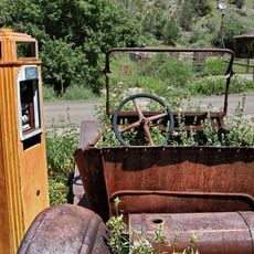
Services and shops are basic in this small town, so travelers should come prepared with supplies for outdoor activities and longer stays. The mountain elevation means weather can shift quickly, and visitors should bring layers and plenty of water when exploring the surrounding trails and forests.
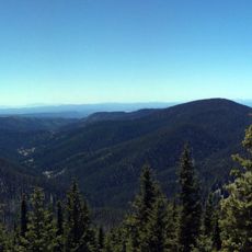
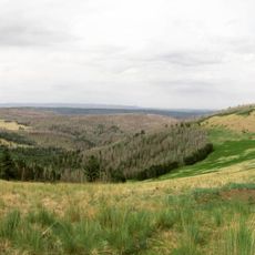
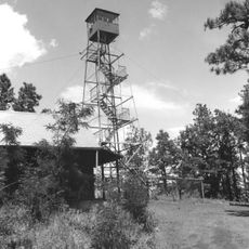
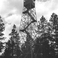
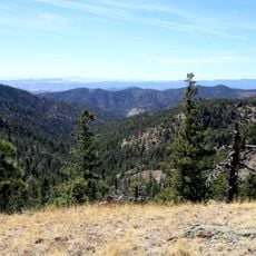
From the summit of Flat Top, on clear days visitors can see far beyond the local mountains to the distant peaks of Mount Baldy, which rises above 11,000 feet. This sweeping view connects hikers to the broader landscape in a way that few other local trails provide.
The community of curious travelers
AroundUs brings together thousands of curated places, local tips, and hidden gems, enriched daily by 60,000 contributors worldwide.