Enable Location

We need your location to show you interesting places around you

Discover nearby places

Find interesting locations and hidden gems around you

Precise directions

Get accurate directions and distances to places

Your location is never shared with other users. It's only used when you tap the location button.

Sierra Blanca

Log in to your account

Start exploring — it's free

Trusted by 62,492 travelers worldwide

Continue with Google
Continue with Apple
or

We will send you a code to connect

By continuing, you accept our Terms and Conditions and our Privacy Policy

Check your inbox

We've sent a pincode in your inbox. Please enter the code below.

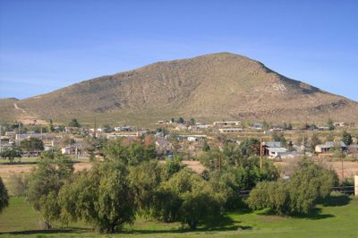
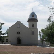
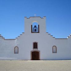
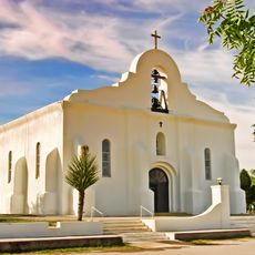
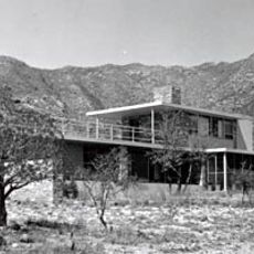
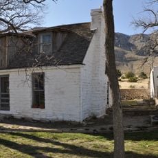
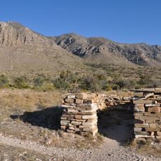
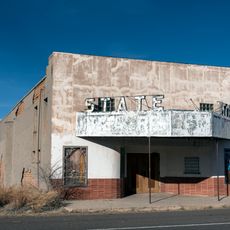
Sierra Blanca, Census-designated place in Hudspeth County, Texas.

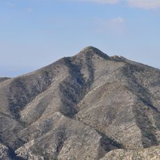
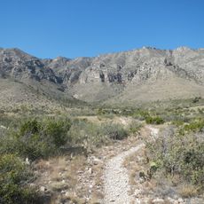
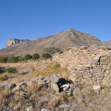
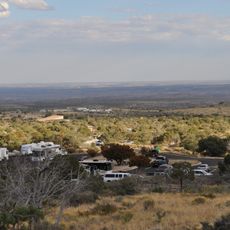
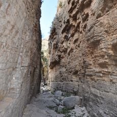
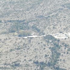
Sierra Blanca is a small settlement in the Trans-Pecos region sitting at roughly 1,400 meters elevation, surrounded by dry hills and sparse brush. The flat terrain is marked by clay and sandy loam soils that are typical of this harsh desert landscape.

The settlement was founded in 1881 when the southern transcontinental railroad reached its endpoint here, creating a junction for the Southern Pacific and Missouri Pacific lines. This railroad heritage made it an important transportation hub for the region.

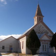
The educational system of Sierra Blanca Independent School District serves the local population, reflecting the needs of both Hispanic and non-Hispanic communities in the area.

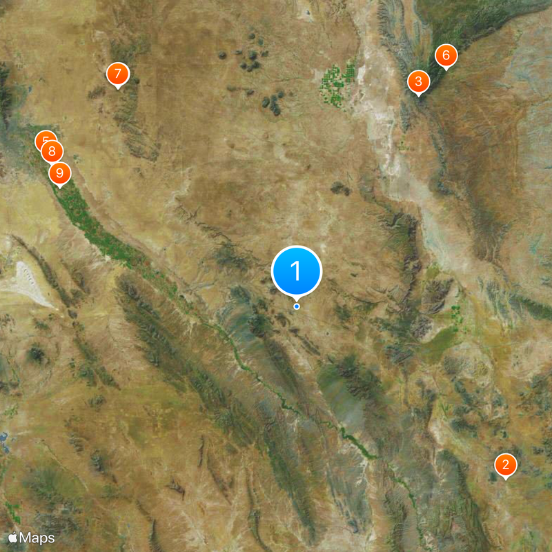
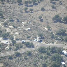
The location sits on Interstate 10 with direct access between Van Horn and El Paso and is located in the Mountain Time Zone. Travelers should note that the area is dry and largely unpopulated, so it is wise to make preparations before traveling.

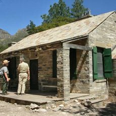
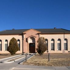
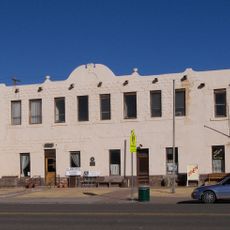
The location houses Texas's only adobe courthouse, serving as the administrative center since the formation of Hudspeth County in 1917. This structure is a rare example of adobe construction in the region.

The community of curious travelers

AroundUs brings together thousands of curated places, local tips, and hidden gems, enriched daily by 60,000 contributors worldwide.

Start exploring
Location
Elevation above the sea
1,380 m
GPS coordinates
31.18190,-105.34100
Latest update
December 19, 2025 22:55
Around this place
Prada Marfa
United States of America

Prada Marfa

101.6 km
Guadalupe Peak
United States of America

Guadalupe Peak

91.2 km
Hueco Tanks
United States of America

Hueco Tanks

105.6 km
Ysleta Mission
United States of America

Ysleta Mission

109.5 km
McKittrick Canyon
United States of America

McKittrick Canyon

104.7 km
Hueco Tanks State Historic Site
United States of America

Hueco Tanks State Historic Site

105.7 km
Socorro Mission
United States of America

Socorro Mission

105.6 km
Presidio Chapel of San Elizario
United States of America

Presidio Chapel of San Elizario

99.3 km
Wallace E. Pratt House
United States of America

Wallace E. Pratt House

102.5 km
Frijole Ranch
United States of America

Frijole Ranch

95.7 km
Wallace Pratt Lodge
United States of America

Wallace Pratt Lodge

103.9 km
Pinery Station
United States of America

Pinery Station

93.6 km
First Presbyterian Church
United States of America

First Presbyterian Church

50.7 km
Hudspeth County Courthouse
United States of America

Hudspeth County Courthouse

1.5 km
El Paso Christmas Lights
United States of America

El Paso Christmas Lights

110 km
Guadalupe Mountains Wilderness
United States of America

Guadalupe Mountains Wilderness

97.6 km
Smith Spring Trail
United States of America

Smith Spring Trail

96.5 km
Regional Museum of San Agustin
Mexico

Regional Museum of San Agustin

94.5 km
Butterfield Overland Mail Corridor
United States of America

Butterfield Overland Mail Corridor

93.6 km
Oasis Waterpark
United States of America

Oasis Waterpark

109.7 km
Pine Springs Visitor Center
United States of America

Pine Springs Visitor Center

93.4 km
State Theater
United States of America

State Theater

2.4 km
Pine Springs Trailhead
United States of America

Pine Springs Trailhead

93.3 km
San Elizario Historic District
United States of America

San Elizario Historic District

99.3 km
Clark Hotel
United States of America

Clark Hotel

51.1 km
Pine Springs Campground
United States of America

Pine Springs Campground

93.2 km
Devils Hall
United States of America

Devils Hall

93.3 km
Frijole Ranch Picnic Area
United States of America

Frijole Ranch Picnic Area

95.5 km
Show the full map
« Sierra Blanca - Census-designated place in Hudspeth County, Texas » is provided by Around Us (aroundus.com). Images and texts are derived from Wikimedia project under a Creative Commons license. You are allowed to copy, distribute, and modify copies of this page, under the conditions set by the license, as long as this note is clearly visible.

Discover hidden gems everywhere you go!

From secret cafés to breathtaking viewpoints, skip the crowded tourist spots and find places that match your style. Our app makes it easy with voice search, smart filtering, route optimization, and insider tips from travelers worldwide. Download now for the complete mobile experience.

Around Us App Screenshot

A unique approach to discovering new places

Le Figaro

All the places worth exploring

France Info

A tailor-made excursion in just a few clicks

20 Minutes

Around Us
Travel Guide & Maps
Download

Send to your phone

QR Code
1

Open the camera app on your mobile.

2

Point at the QR code with your camera. A notification will appear.

3

Tap the notification to open the link.