
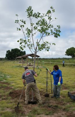
Cottonwood Day Use Area
Carlsbad Caverns National Park
9.2 km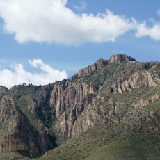
Guadalupe Peak
43.4 km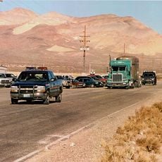
Waste Isolation Pilot Plant
41.5 km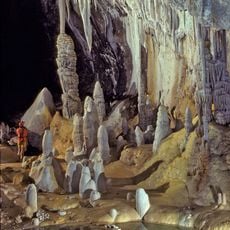
Lechuguilla Cave
11.1 km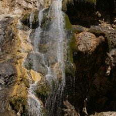
Sitting Bull Falls
27.1 km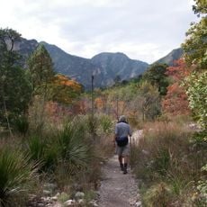
McKittrick Canyon
30 km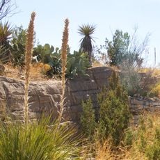
Living Desert Zoo and Gardens State Park
42.6 km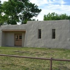
Rattlesnake Springs Historic District
1.6 km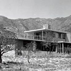
Wallace E. Pratt House
31.3 km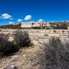
The Caverns Historic District
9.4 km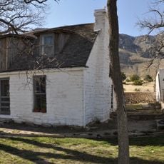
Frijole Ranch
37.6 km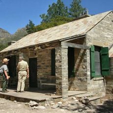
Wallace Pratt Lodge
31.9 km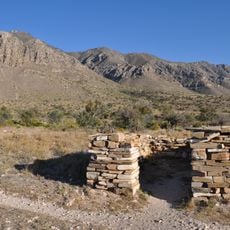
Pinery Station
39.8 km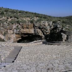
Bat Flight Amphitheater
9.4 km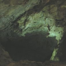
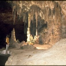
Carlsbad Cavern
9.5 km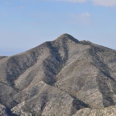
Guadalupe Mountains Wilderness
39.2 km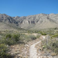
Smith Spring Trail
37.2 km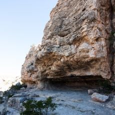
Indian Rock Shelter
11.2 km
Butterfield Overland Mail Corridor
39.7 km
Rattlesnake Springs Pump House
1.6 km
Pine Springs Visitor Center
40.1 km
Pine Springs Trailhead
40.5 km
Pine Springs Campground
40.4 km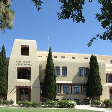
Eddy County Courthouse
42.7 km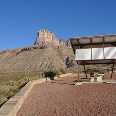
El Capitan Lookout
44.5 km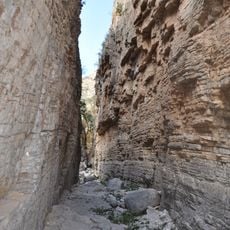
Devils Hall
41.4 km
Frijole Ranch Picnic Area
37.8 km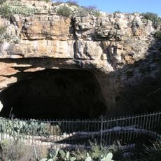
Natural Entrance
9.5 kmReviews
Visited this place? Tap the stars to rate it and share your experience / photos with the community! Try now! You can cancel it anytime.
Discover hidden gems everywhere you go!
From secret cafés to breathtaking viewpoints, skip the crowded tourist spots and find places that match your style. Our app makes it easy with voice search, smart filtering, route optimization, and insider tips from travelers worldwide. Download now for the complete mobile experience.

A unique approach to discovering new places❞
— Le Figaro
All the places worth exploring❞
— France Info
A tailor-made excursion in just a few clicks❞
— 20 Minutes