Quetzaltenango

Log in to your account

AroundUs is a community-driven map of interesting places, built by curious explorers like you. It grows with every review, story, and photo you share.
Connect to save your favorite spots, contribute locations, and create personalized routes.
By continuing, you accept our Terms and Conditions and our Privacy Policy
Add to collection
Map
Suggest a change
Share

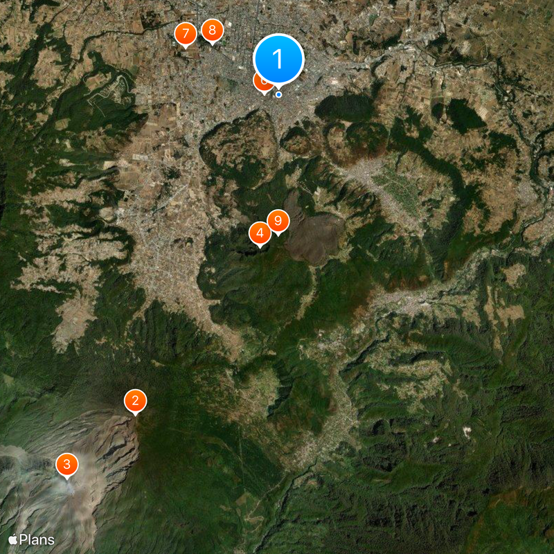
Quetzaltenango, Mountain city in southwestern Guatemala.

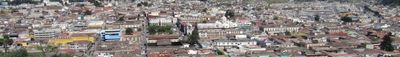
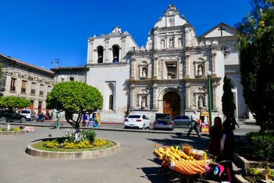
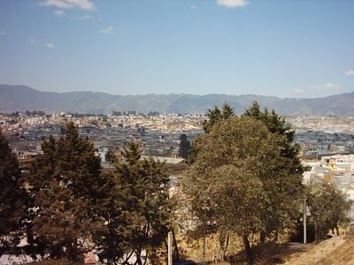
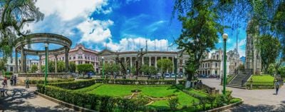
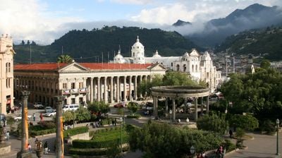
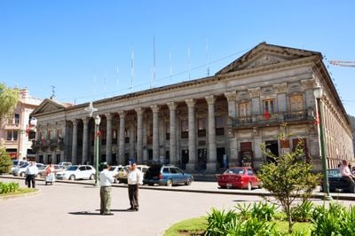
Quetzaltenango, known by most residents as Xela, is a city in southwestern Guatemala located at roughly 2,334 meters (7,660 feet) elevation in a mountain valley within Quetzaltenango Department. The downtown streets are laid out around a central square, and the surrounding neighborhoods spread over several hills with residential areas and markets.

Spanish troops under Pedro de Alvarado arrived in 1524 and defeated the K'iche' Maya near the settlement, which was called Xelajú at that time. The Santa María volcano eruption in 1902 covered the streets with rock and ash, which later changed the way the city was built and grew.

The old K'iche' name Xelajú remains alive in daily life, and most residents use the shortened form Xela in everyday conversation. The K'iche' language is spoken alongside Spanish in many neighborhoods, and you can hear it often in the streets and shops.

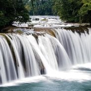
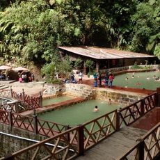
The elevation brings cool weather, and it is wise to bring warm clothes, especially during winter months. The city has many language schools and serves as a base for hikes to nearby volcanoes and hot springs.

Winter temperatures at night can drop below freezing, which is not unusual at this elevation, but often surprises visitors from the tropics. Many houses in the city have no heating, and residents rely on thick blankets and layered clothing to stay warm.

Location: Quetzaltenango Department

Inception: 1524

Elevation above the sea: 2,433 m

Shares border with: Concepción Chiquirichapa, Olintepeque, San Andrés Xecul, Zunil, Almolonga, Cantel, Salcajá

Website: http://inforpressca.com/quetzaltenango

GPS coordinates: 14.83333,-91.51667

Latest update: December 12, 2025 17:39

Photos
Photo spots in Guatemala

Guatemala offers photographers a mix of pre-Columbian sites, volcanic landscapes, and colonial buildings. The geography ranges from highland towns to rainforests and coastal areas along the Pacific and Caribbean. Ancient Maya temples stand alongside Spanish-era churches, while indigenous markets and...

Photo locations in Guatemala

Guatemala contains several photographic subjects within its borders. Maya ruins such as Tikal, Yaxha and Quiriguá stand in the tropical forests of Petén and Izabal. Colonial architecture appears in Antigua Guatemala, where the Santa Catalina Arch and painted facades line cobblestone streets. Lake...

Reviews

Visited this place? Tap the stars to rate it and share your experience / photos with the community! Try now! You can cancel it anytime.

« Quetzaltenango - Mountain city in southwestern Guatemala » is provided by Around Us (aroundus.com). Images and texts are derived from Wikimedia project under a Creative Commons license. You are allowed to copy, distribute, and modify copies of this page, under the conditions set by the license, as long as this note is clearly visible.

Discover hidden gems everywhere you go!

From secret cafés to breathtaking viewpoints, skip the crowded tourist spots and find places that match your style. Our app makes it easy with voice search, smart filtering, route optimization, and insider tips from travelers worldwide. Download now for the complete mobile experience.

Around Us App Screenshot

A unique approach to discovering new places

Le Figaro

All the places worth exploring

France Info

A tailor-made excursion in just a few clicks

20 Minutes