Chimaltenango, municipality and capital of Chimaltenango Department, Guatemala
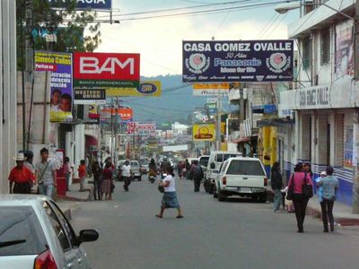
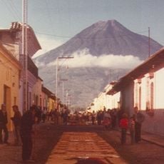
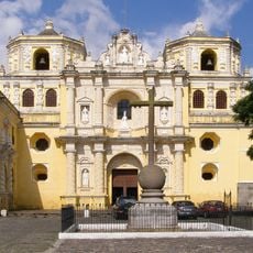
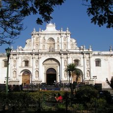
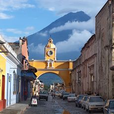
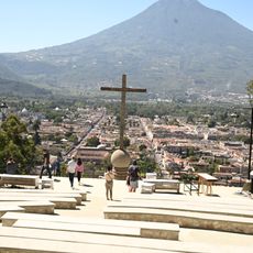
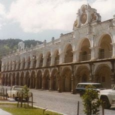
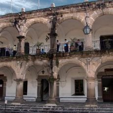
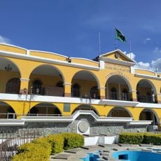
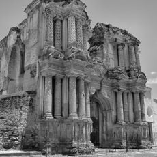
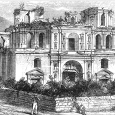
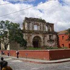
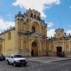
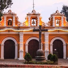
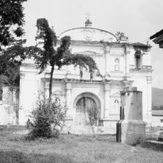
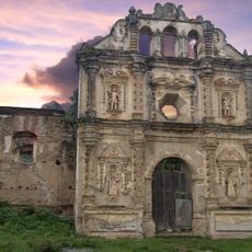
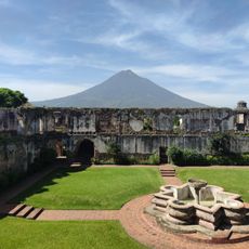
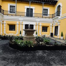
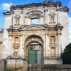
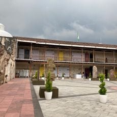
Chimaltenango is a city and municipality located in the department of the same name in Guatemala, sitting at about 1800 meters elevation. The streets feature colonial-style architecture with old churches, simple houses, and markets filled with local crafts, while the surrounding landscape is dotted with green fields and small farms.
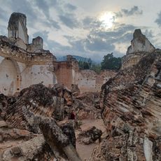
The city was founded in 1526 by Spanish settlers and developed into a center for religious activities under Dominican friars. Over time, it became a stronghold for the Kaqchikel people and served as a religious and administrative hub for surrounding villages.
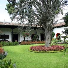
The name Chimaltenango comes from the Nahuatl language and means 'place of shields.' The town is defined by its strong sense of community, where neighbors meet in open spaces, share stories, and street vendors sell food and crafts that reflect local traditions.
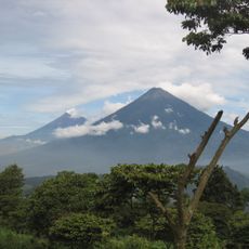
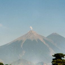
The mild climate with cool mornings and warm afternoons makes walking and exploring comfortable year-round. The uneven but scenic terrain with hills and mountains offers various ways to discover the city and its surroundings.
The city is known for its special rosquitas, small orange-colored pastries seen at local fairs that visitors often take home as memorable souvenirs. These traditional treats reflect the local baking tradition and become an unforgettable part of many visits.
The community of curious travelers
AroundUs brings together thousands of curated places, local tips, and hidden gems, enriched daily by 60,000 contributors worldwide.