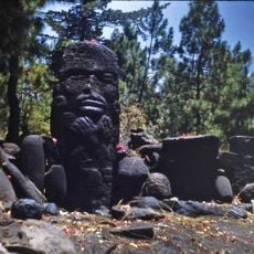
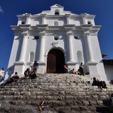
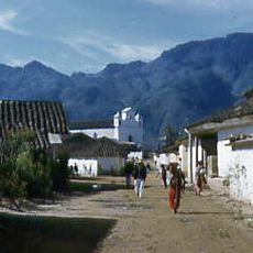
Sierra de los Cuchumatanes, Mountain range in western Huehuetenango, Guatemala.
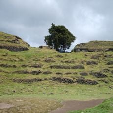
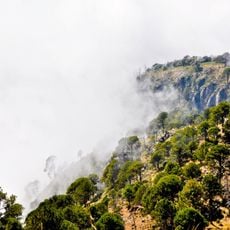
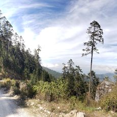
The Sierra de los Cuchumatanes is a mountain range made of sedimentary rock that spreads across a large area and reaches about 3,837 meters (12,600 feet) at its highest point. Valleys, plateaus, and slopes create varied terrain throughout the system that appeals to hikers looking for different experiences.
The name comes from the Mam language and means roughly 'that which was brought together by superior force,' pointing to the geological forces that shaped the range. The rock layers formed during the Cretaceous Period and tell a story of earth's long development.
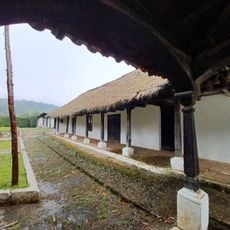
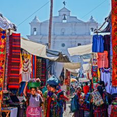
The mountain range is home to communities that have grown potatoes and raised sheep for generations, with dry stone walls marking the hillsides throughout. This way of life shapes how the landscape looks and reveals how people have worked with the terrain for a long time.
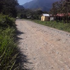
Visitors should prepare for changing weather that can shift quickly and requires warm, wind- and rain-proof clothing. Trails vary in their condition and access to medical help is limited, so sturdy footwear and careful planning before arriving are important.
The range hosts plant species similar to those found in the Andes, even though it is located in Central America and rises higher than other mountain systems in the region. Finding South American plant types in such a northern mountain range with different geological origins is surprising.
The community of curious travelers
AroundUs brings together thousands of curated places, local tips, and hidden gems, enriched daily by 60,000 contributors worldwide.