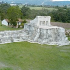
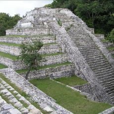
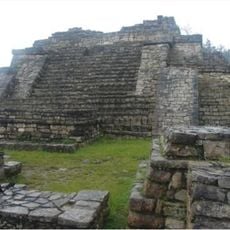
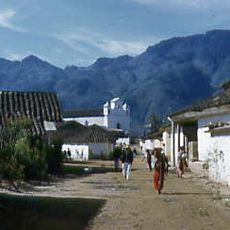
San Mateo Ixtatán, Highland municipality at 2540 meters in Huehuetenango, Guatemala
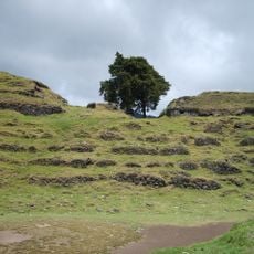
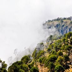
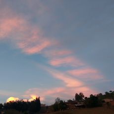
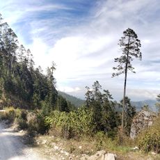
San Mateo Ixtatán is a highland municipality nestled in the Cuchumatanes mountain range at approximately 2,540 meters (8,330 feet) elevation. The town and surrounding villages spread across steep terrain where mountains dominate the landscape and shape how communities are organized.
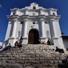
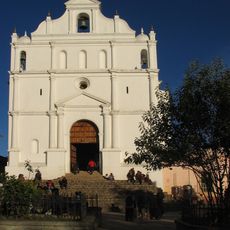
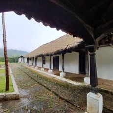
The area came under Spanish control in the early 16th century when conquistador Gonzalo de Ovalle received it as a land grant. Dominican missionaries arrived later and established the religious foundations that remain important to the community today.
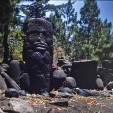
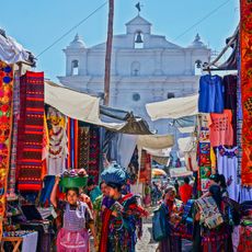
The community is home to Chuj Maya people who speak their own language and maintain long-standing traditions in daily life. Religious celebrations honoring their patron saint bring people together and shape the rhythm of the year.
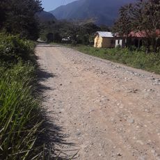
The high altitude brings cool temperatures and rain is possible year-round, so pack layers and weatherproof clothing. Roads and paths are steep and often unpaved, making sturdy footwear and good fitness helpful for getting around comfortably.
Deep salt wells in the area contain highly concentrated mineral water from which local people extract dark salt called K'ik' Atz'am. This practice reaches back generations and remains an important part of the local economy and identity.
Location: Huehuetenango Department
Elevation above the sea: 2,540 m
Shares border with: Nentón, Chiapas, Santa Cruz Barillas, Santa Eulalia, San Sebastián Coatán
Website: http://inforpressca.com/sanmateoi
GPS coordinates: 15.83333,-91.48333
Latest update: December 6, 2025 17:41
Guatemala contains several photographic subjects within its borders. Maya ruins such as Tikal, Yaxha and Quiriguá stand in the tropical forests of Petén and Izabal. Colonial architecture appears in Antigua Guatemala, where the Santa Catalina Arch and painted facades line cobblestone streets. Lake...
Lacandon Jungle
78.1 km
Volcán Tacaná
102.9 km
Bonampak
106.7 km
Volcán Tajumulco
98.9 km
Lagunas de Montebello National Park
34.4 km
Zaculeu
55.6 km
Tenam Puente
73.7 km
Chinkultic
46.1 km
Pascual Abaj
107.4 km
Iglesia de Santo Tomás
107 km
Plan de Ayutla
108.1 km
Chutixtiox
73.3 km
Nebaj
59.5 km
Wajxaklajun
0 m
Chitinamit
73.9 km
Nuevo León
41.9 km
Holy Cross Cathedral, Santa Cruz del Quiché
96.4 km
Chapel of the Conqueress of the Immaculate Conception
106 km
Minerva
110.1 km
Volcán Tacaná Biosphere Reserve
106.4 km
Boxbolandia
58.6 km
Mil Amores
56.4 km
Veracruz
58.8 km
House of Justo Rufino Barrios
93.1 km
Canton Las Ruinas de Gumarkaaj
96.6 km
Chichicastenango Market
106.9 km
Sendero Puerta del Cielo
33.5 km
Río Agua Zarca
92.7 kmVisited this place? Tap the stars to rate it and share your experience / photos with the community! Try now! You can cancel it anytime.
Discover hidden gems everywhere you go!
From secret cafés to breathtaking viewpoints, skip the crowded tourist spots and find places that match your style. Our app makes it easy with voice search, smart filtering, route optimization, and insider tips from travelers worldwide. Download now for the complete mobile experience.
A unique approach to discovering new places❞
— Le Figaro
All the places worth exploring❞
— France Info
A tailor-made excursion in just a few clicks❞
— 20 Minutes