El Salvador–Guatemala border, international border
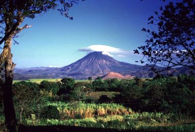
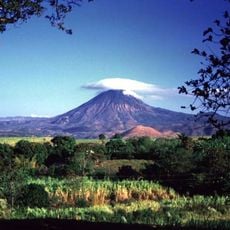
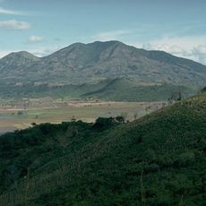
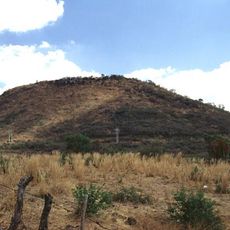
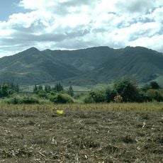
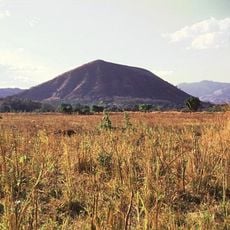
The border between El Salvador and Guatemala stretches about 203 kilometers, separating the two countries with a line running from the trifinio region in the mountain north down to the Pacific coast. The area is marked by volcanic terrain, with the Chingo volcano as a key feature that helps define the boundary in the middle.
The border was established in 1841 when El Salvador separated from Guatemala, and officially confirmed in 1856 as El Salvador achieved independence. It follows an agreement from the mid-1800s that has remained in place for more than a century and continues to shape the boundary today.
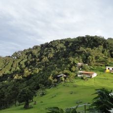
The border is more than a line on a map; it connects communities where people have family and work on both sides. Daily life here is deeply tied to exchange between the countries, and at crossing points you see commuters, traders, and travelers constantly using these connections.
Travelers need valid identification papers like passports or national ID cards, and children under 18 require notarized parental authorization if not traveling with both parents. The main crossing points are Pedro de Alvarado near Ahuachapán, San Cristóbal on the Interamericana Highway, and Las Chinamas, all relatively straightforward to navigate.
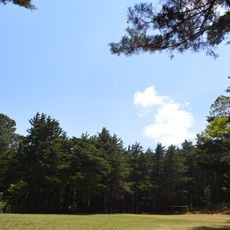
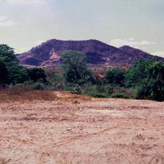
The border area is marked by volcanic activity, with craters and lava fields covered in lush vegetation, making it a geologically interesting place for those exploring the terrain. This volcanic landscape is a defining feature of the region, shaping it beyond its role as a political boundary.
The community of curious travelers
AroundUs brings together thousands of curated places, local tips, and hidden gems, enriched daily by 60,000 contributors worldwide.