Volcán Ipala, Dormant stratovolcano in eastern Guatemala.
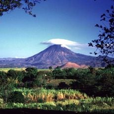
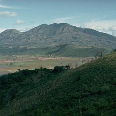
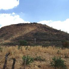
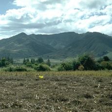
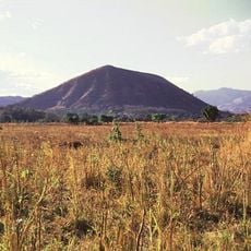
Volcán Ipala is a stratovolcano on the border of the Chiquimula and Jutiapa departments in south-eastern Guatemala, reaching 1,650 metres above sea level. Its summit crater measures 1,000 metres across and holds Lake Ipala, a green crater lake lying about 150 metres below the rim. The volcano belongs to a cluster of small stratovolcanoes and cinder cones in the region.
The volcano formed during intense tectonic activity in Central America millions of years ago. This geological process shaped the landscape of eastern Guatemala over time.
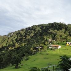
Residents of villages on the slopes report that deer have been seen in the yards and corrals of their houses. The volcano still shelters a small number of wild animals, including deer and other species of the region. CONAP maintains a government presence there, though uncontrolled hunting threatens the remaining wildlife.
The summit hike takes about two hours starting from El Sauce village, which has regular bus connections from Chiquimula and Jalapa. Wear proper hiking shoes and bring enough water, as there is little shade along the trail.
The crater rim sits about 150 metres above the water of Lake Ipala, and the summit crater itself measures roughly 1,000 metres across. The volcano belongs to a cluster of small stratovolcanoes and cinder cones in south-eastern Guatemala, and its data are recorded in the Smithsonian Institution's Global Volcanism Program.
The community of curious travelers
AroundUs brings together thousands of curated places, local tips, and hidden gems, enriched daily by 92,728 contributors worldwide.