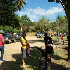
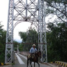
Sierra de las Minas, Biosphere reserve in eastern Guatemala
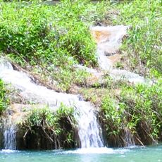
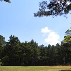
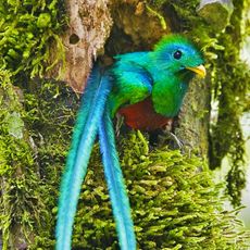
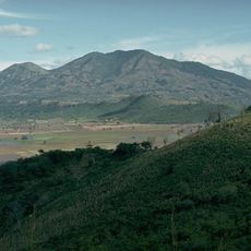
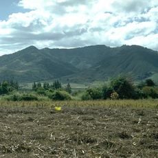
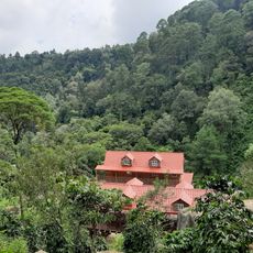
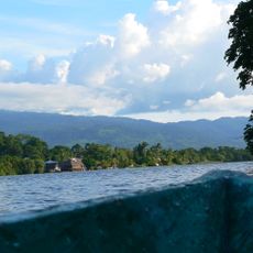
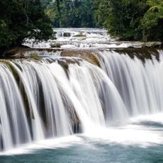
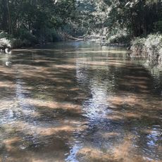
The Sierra de las Minas Biosphere Reserve is a large protected area featuring mountain forests and numerous water sources that supply major river systems across the region. The landscape spans different elevations and supports diverse plant and animal life throughout its boundaries.
A large part of the range, 2,408.03 km2 including buffer and transition zones, was declared a biosphere reserve in 1990; UNESCO accepted it in 1992. Jade sources were forgotten in the colonial period, and the extent of the deposits became known only after Hurricane Mitch in 1998 and Russell Seitz's 1999 report.
The range's name comes from the small-scale jadeite and marble mining that gave the mountains their Spanish name, Sierra de las Minas. The southern slopes and the nearby Motagua valley supplied jadeite to the Olmec and Maya for ritual objects and ornaments, and jadeite became an export alongside serpentine, salt and cacao. In 1999 geophysicist Russell Seitz traced a hand-sized blue-jadeite sample from an Antigua shop to veins at El Ciprés.
Access to the reserve is typically through hiking trails across the mountainous terrain, where elevation changes can make walks physically demanding. It's wise to bring sturdy footwear and weather-appropriate clothing, since conditions vary with the season and altitude.
The range's name comes from its jadeite, marble and serpentine deposits. After Hurricane Mitch flooded the Motagua River 31 feet past flood stage in 1998, alluvial jadeite was uncovered; in 2000 geophysicist Russell Seitz and prospector Carlos Gonzales Ramirez traced the source to El Ciprés, finding veins about 2 m wide and 45 m long.
The community of curious travelers
AroundUs brings together thousands of curated places, local tips, and hidden gems, enriched daily by 94,164 contributors worldwide.