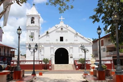
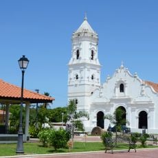
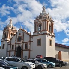
Las Tablas District, Administrative district in Los Santos Province, Panama
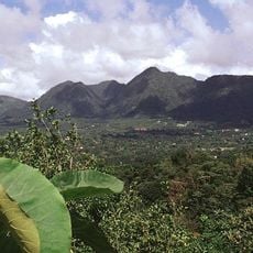
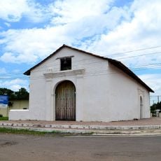
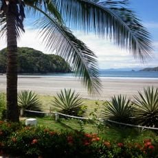
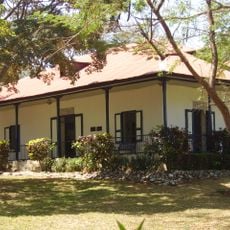
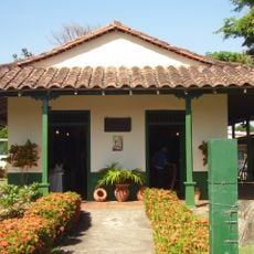
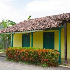
Las Tablas District is an administrative area in Los Santos Province that combines urban centers with rural farmland over a large territory. The district includes several settlements of varying sizes and contains both paved roads and unpaved routes connecting communities.
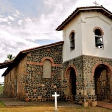
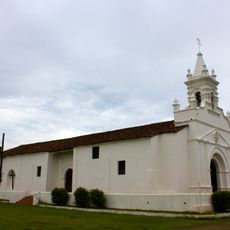
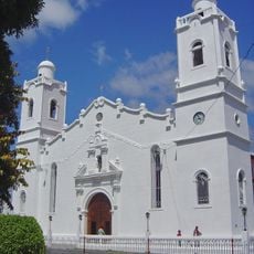
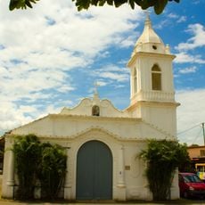
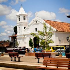
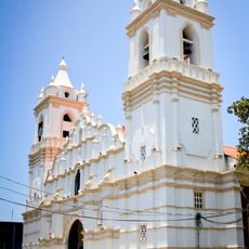
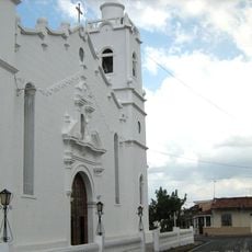
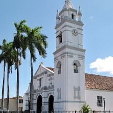
The district was established in 1671 when Spanish colonists founded permanent settlements in the Los Santos region. These early foundations shaped the administrative structure that exists today.
The district hosts a lively Carnival where two rival groups—Calle Arriba and Calle Abajo—compete with their own queens and parades. These traditions shape how locals organize their social life and celebrations throughout the year.
Buses connect this district regularly with Panama City via the Pan-American Highway, though the journey takes several hours. Wear comfortable shoes and plan for longer travel times when moving between different areas.
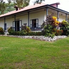
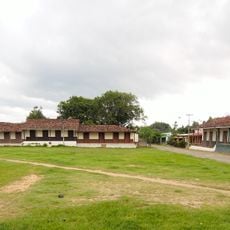
The district maintains a balanced population spread that allows both urban services and farming traditions to coexist without overwhelming either. This creates a setting where travelers can experience modern conveniences alongside traditional agricultural life.
The community of curious travelers
AroundUs brings together thousands of curated places, local tips, and hidden gems, enriched daily by 60,000 contributors worldwide.