Enable Location

We need your location to show you interesting places around you

Discover nearby places

Find interesting locations and hidden gems around you

Precise directions

Get accurate directions and distances to places

Your location is never shared with other users. It's only used when you tap the location button.

Los Santos Province

Log in to your account

Start exploring — it's free

Trusted by 62,603 travelers worldwide

Continue with Google
Continue with Apple
or

We will send you a code to connect

By continuing, you accept our Terms and Conditions and our Privacy Policy

Check your inbox

We've sent a pincode in your inbox. Please enter the code below.

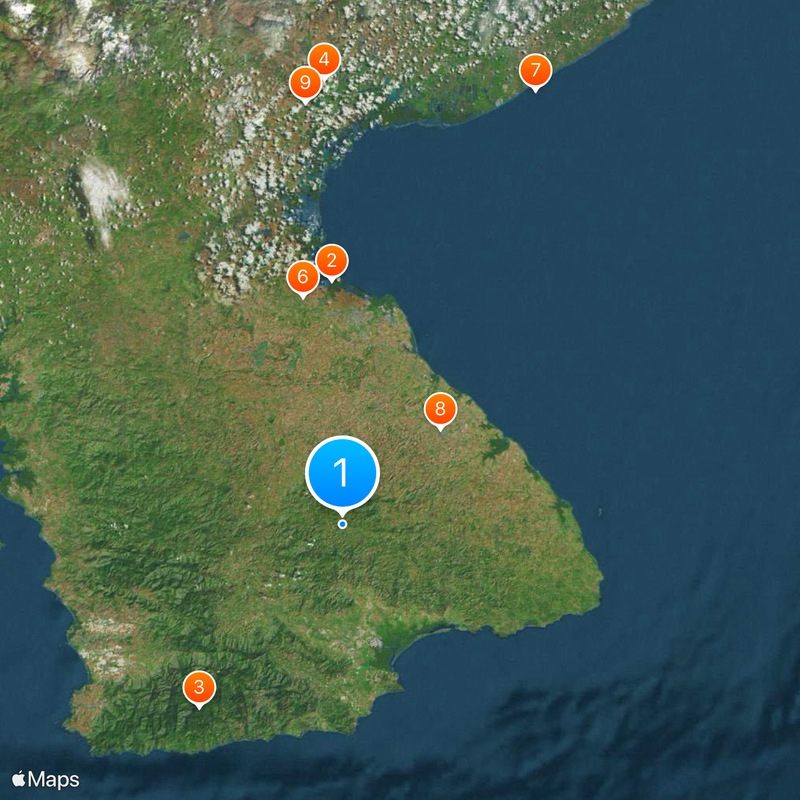
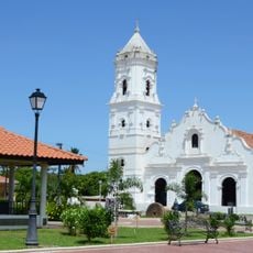
Los Santos Province, Province in Azuero Peninsula, Panama

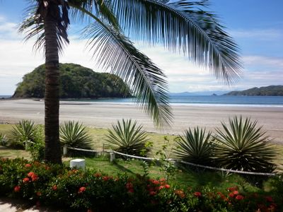
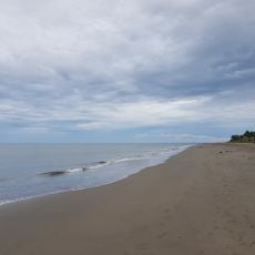
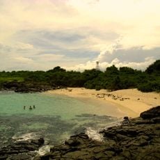
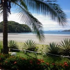
Los Santos stretches from La Villa river to the Pacific Ocean, covering mountain regions and coastal lowlands on the Azuero Peninsula. The area divides into seven districts, with Las Tablas serving as the administrative center.

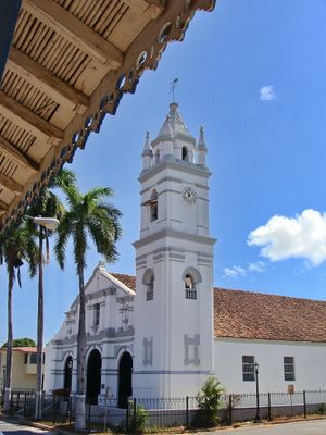
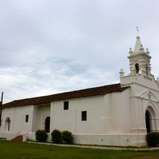
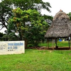
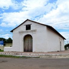
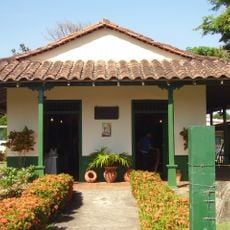
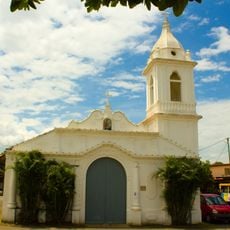
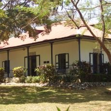
The first Europeans arrived in 1515 under Gonzalo de Badajoz, when cacique Antataura ruled the area. Later, the region became part of the Spanish colonial empire and developed into an agricultural center.

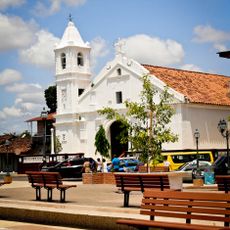
The area keeps the Spanish voseo, a way of speaking heard in only a few parts of Central America. During carnival, streets in Las Tablas turn into scenes of water battles where locals and visitors celebrate together.

The coastal plains work well for easy walks and birdwatching, while the mountain regions offer trails with different levels of difficulty. Most activities happen during the day, when temperatures are moderate and visibility is clear.

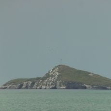
Six national parks shelter five of Panama's seven native monkey species, including several threatened populations. The protected areas lie in both the mountains and along the coast, offering different habitats for the animals.

The community of curious travelers

AroundUs brings together thousands of curated places, local tips, and hidden gems, enriched daily by 60,000 contributors worldwide.

Start exploring
Location
Capital city
Las Tablas
GPS coordinates
7.60000,-80.45000
Latest update
December 12, 2025 23:42
« Los Santos Province - Province in Azuero Peninsula, Panama » is provided by Around Us (aroundus.com). Images and texts are derived from Wikimedia project under a Creative Commons license. You are allowed to copy, distribute, and modify copies of this page, under the conditions set by the license, as long as this note is clearly visible.

Discover hidden gems everywhere you go!

From secret cafés to breathtaking viewpoints, skip the crowded tourist spots and find places that match your style. Our app makes it easy with voice search, smart filtering, route optimization, and insider tips from travelers worldwide. Download now for the complete mobile experience.

Around Us App Screenshot

A unique approach to discovering new places

Le Figaro

All the places worth exploring

France Info

A tailor-made excursion in just a few clicks

20 Minutes

Around Us
Travel Guide & Maps
Download

Send to your phone

QR Code
1

Open the camera app on your mobile.

2

Point at the QR code with your camera. A notification will appear.

3

Tap the notification to open the link.