
Rovira, Colombian municipality of the department of Tolima
Location: Tolima Department
Inception: 1570
Elevation above the sea: 854 m
Website: http://rovira-tolima.gov.co
GPS coordinates: 4.23917,-75.24028
Latest update: April 14, 2025 15:32

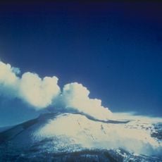
Nevado del Ruiz
72.1 km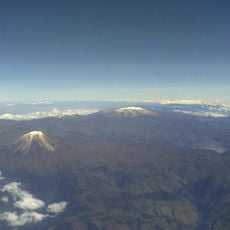
Los Nevados National Natural Park
64 km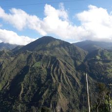
Volcán Cerro Machín
32 km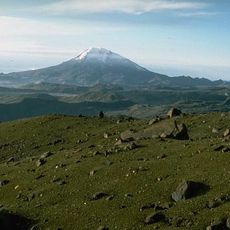
Nevado del Tolima
47.8 km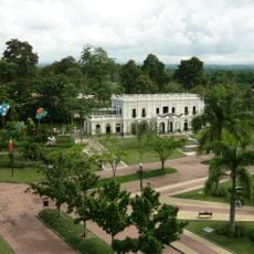
National Coffee Park
67.7 km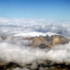
Santa Isabel
64.9 km
César Gaviria Trujillo Viaduct
81.2 km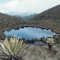
Las Hermosas National Natural Park
111.3 km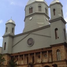
Catedral de Nuestra Señora de la Pobreza
81.6 km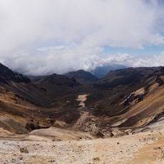
Nevado del Quindío
55.1 km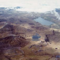
Otún Quimbaya Fauna and Flora Sanctuary
65.7 km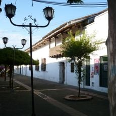
Viceroy's House
94 km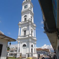
Notre-Dame-du-Mont-Carmel de Cartago cathedral
94 km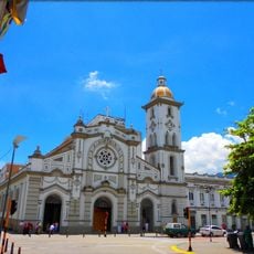
Catedral de Ibagué
22.9 km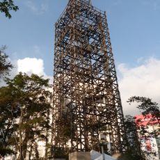
Torre de Herveo
95 km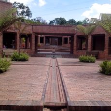
Quimbaya Museum
58.6 km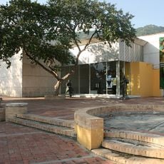
Museo de Arte del Tolima
22.3 km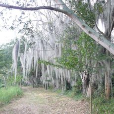
Laguna de Sonso Nature Reserve
97.5 km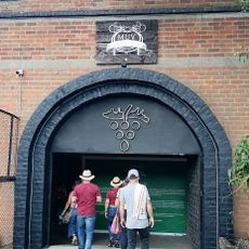
Museo de la Uva y el Vino
100.2 km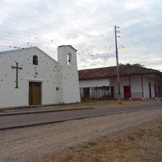
Paquiló
69.5 km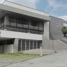
Centro Cultural Metropolitano de Convenciones de Armenia
58 km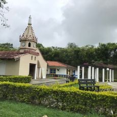
Parque Consotá
88.4 km
Arènes El Bosque
58.9 km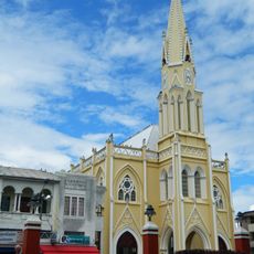
Basilika San Luis Gonzaga
77.1 km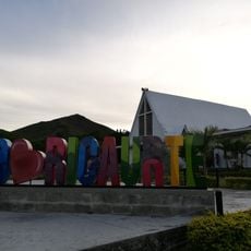
Ricaurte Valle
107.9 km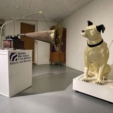
Museo del Disco y la Música
65 km
Old Train Station
48.3 km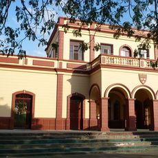
Antigua Estación Del Ferrocarril.
93 kmVisited this place? Tap the stars to rate it and share your experience / photos with the community! Try now! You can cancel it anytime.
Discover hidden gems everywhere you go!
From secret cafés to breathtaking viewpoints, skip the crowded tourist spots and find places that match your style. Our app makes it easy with voice search, smart filtering, route optimization, and insider tips from travelers worldwide. Download now for the complete mobile experience.

A unique approach to discovering new places❞
— Le Figaro
All the places worth exploring❞
— France Info
A tailor-made excursion in just a few clicks❞
— 20 Minutes