Engativá, Administrative district in western Bogotá, Colombia.
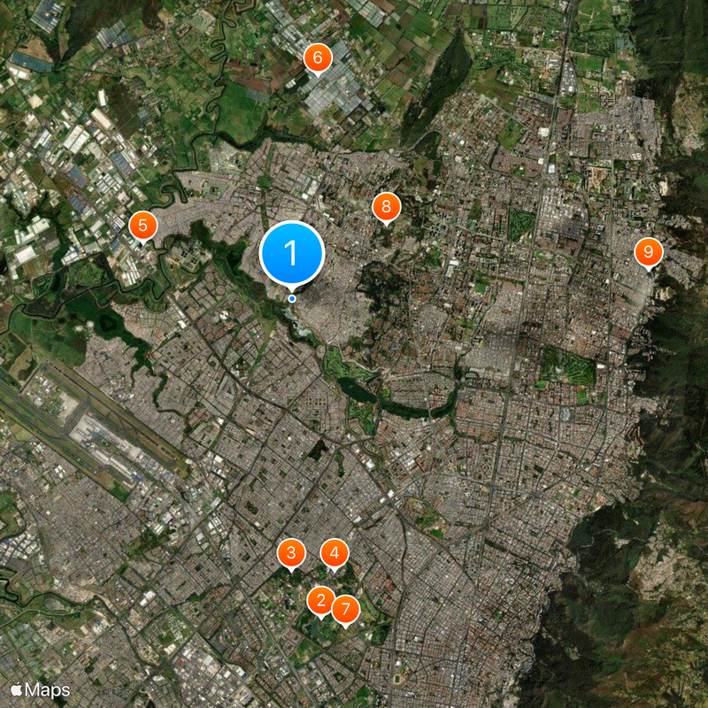
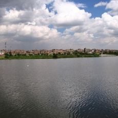
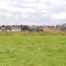
Engativá is an administrative district in western Bogotá, Colombia, stretching between the Salitre River to the north and the Bogotá River to the west. The area sits at around 2,600 meters (8,530 feet) elevation and includes residential neighborhoods, commercial zones, parks, and educational facilities across nearly 36 square kilometers (14 square miles).
The territory originally belonged to the Muisca confederation and was reached by Spanish conquerors in 1537. From 1571 onward, the land developed into an agricultural supply zone for the growing city of Bogotá.
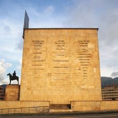
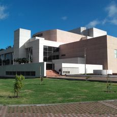
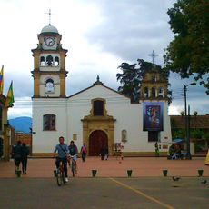
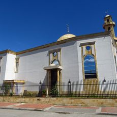
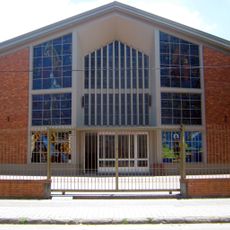
The name comes from the Chibcha language and means "captain of the delicious people", reminding visitors of the territory's roots before Spanish arrival. Today the district serves as a residential and commercial zone where families live, work, and shop in neighborhoods that blend older buildings with newer construction.
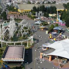
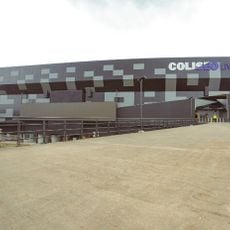
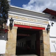
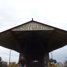
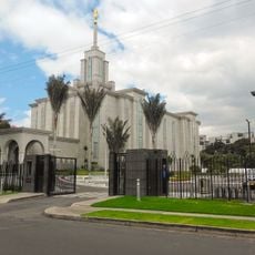
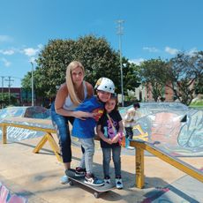
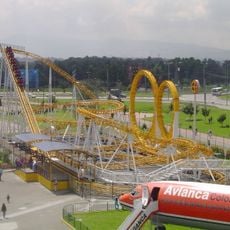
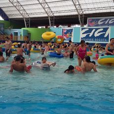
The area connects to central Bogotá through Avenida El Dorado and Avenida Carrera 68. Visitors will find shopping centers, sports facilities, and public parks that locals use for walking and everyday activities.
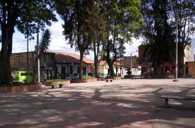
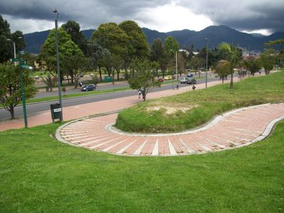
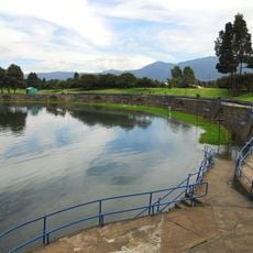
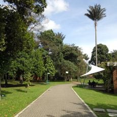
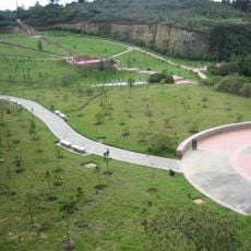
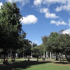
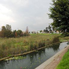
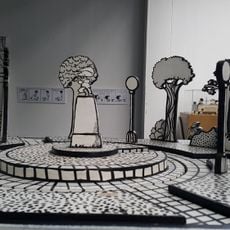
The district holds more than 550 park areas, making it one of the greenest parts of the capital. Many of these parks serve as meeting points for families and sports groups who train together on weekends.
The community of curious travelers
AroundUs brings together thousands of curated places, local tips, and hidden gems, enriched daily by 60,000 contributors worldwide.