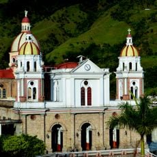
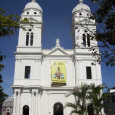
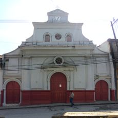
Caldas Department, Administrative division in west-central Colombia
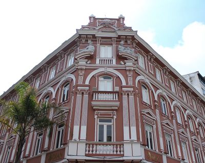
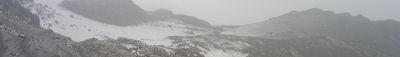
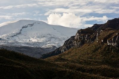
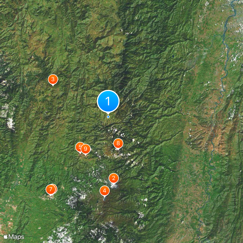
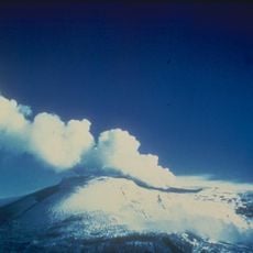
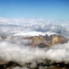
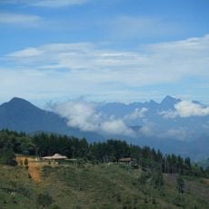
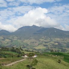
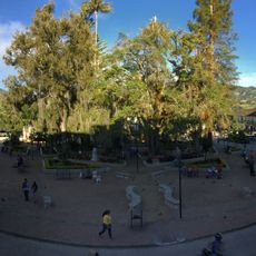
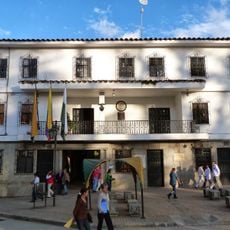
This administrative region in west-central Colombia sits between the Magdalena and Cauca rivers, covering mountainous terrain in the central Andes range. The territory includes twenty-seven municipalities governed from Manizales.
The territory became important during the 16th century when Spanish colonizers mined gold from its mountains. The administrative division was formed in 1905 and has maintained its structure since then.
The population of Caldas Department includes white, mestizo, indigenous, and afro-Colombian communities, with the paisa cultural group forming the predominant identity.
The capital and other towns connect through the Pan-American Highway and a railroad network. Travelers can move between different municipalities and experience varying elevations.
The region produces coffee alongside minerals such as mercury, silver, coal, and zinc. This variety of resources continues to shape the local economy today.
Location: Colombia
Inception: 1905
Capital city: Manizales
Elevation above the sea: 3,190 m
Reference: CAL
Shares border with: Antioquia, Boyacá Department, Tolima Department, Risaralda Department, Cundinamarca Department
Website: http://gobernaciondecaldas.gov.co
GPS coordinates: 5.28333,-75.35000
Latest update: December 12, 2025 22:50
Nevado del Ruiz
44.8 km
Coffee Cultural Landscape of Colombia
42.3 km
Santa Isabel
53.1 km
Catedral Basílica Metropolitana Nuestra Señora del Rosario
30.4 km
César Gaviria Trujillo Viaduct
63.8 km
Catedral de Nuestra Señora de la Pobreza
64.7 km
Cerro Bravo
22.5 km
Manizales - Mariquita Cableway
29.5 kmPlaza de Toros de Manizales
31.2 km
Basílica de la Inmaculada Concepción
62.7 km
Páramo de Sonsón
49.5 kmSan Diego
59.4 kmEl Escondido volcano
42.3 kmParque nacional natural Selva de Florencia
38.5 km
Torre de Herveo
29.5 kmNevado El Cisne
49 km
Our Lady of Chiquinquirá Cathedral, Sonsón
47.7 km
Iglesia de Nuestra Señora de las Mercedes
71.6 kmRomeral
8.7 km
Basílica Menor de San Antonio de Padua de Manzanares
22 km
Our Lady of Mount Carmel Cathedral, La Dorada
78.4 kmJardín botánico de la Universidad de Caldas
29.9 km
Museo Casa de los Abuelos
47.9 km
Santuario de Nuestra Señora de Valvanera
47.8 kmMaterialseilbahn Mariquita-Manizales
29.9 km
Plaza de Ruíz y Zapata
47.6 km
Sonsón town hall
47.6 km
Parque Simón Bolívar
71.7 kmVisited this place? Tap the stars to rate it and share your experience / photos with the community! Try now! You can cancel it anytime.
Discover hidden gems everywhere you go!
From secret cafés to breathtaking viewpoints, skip the crowded tourist spots and find places that match your style. Our app makes it easy with voice search, smart filtering, route optimization, and insider tips from travelers worldwide. Download now for the complete mobile experience.
A unique approach to discovering new places❞
— Le Figaro
All the places worth exploring❞
— France Info
A tailor-made excursion in just a few clicks❞
— 20 Minutes