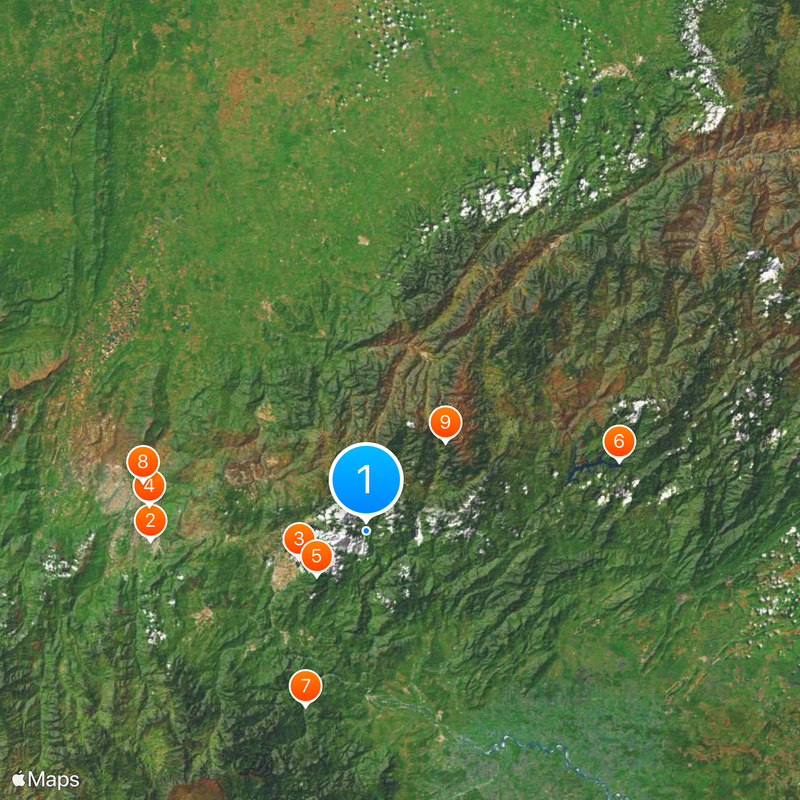
Táchira, Administrative region in western Venezuela
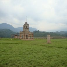
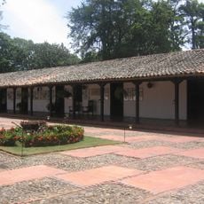
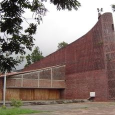
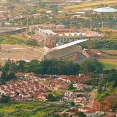
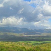
Táchira is an administrative region in western Venezuela that runs along the border with Colombia and includes mountains, tropical vegetation, and more open areas. The region divides into several municipalities, with San Cristóbal serving as the central hub for commerce, education, and transport.
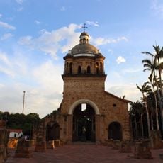
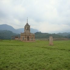
The founding of San Cristóbal by Spanish colonists in the 16th century marked the beginning of permanent European settlement in this area. The current administrative unit emerged in the late 19th century, when the country created new territorial structures.
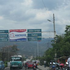
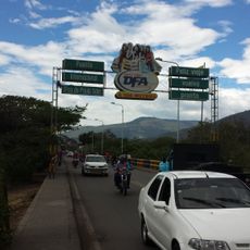
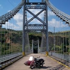
The border location shapes daily life here strongly, as many people maintain business relationships and family ties on both sides. You often see traces of both nations in the language, eating habits, and the ways celebrations take place.
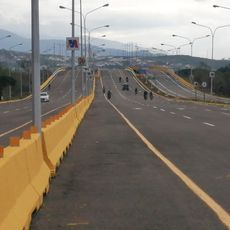
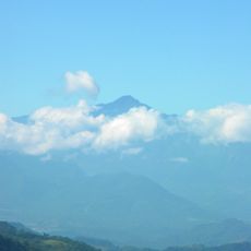
The capital offers most facilities such as accommodations, markets, and connections to other regions. Anyone planning to visit higher-lying places should bring warm clothing, as temperatures there can be noticeably cooler.
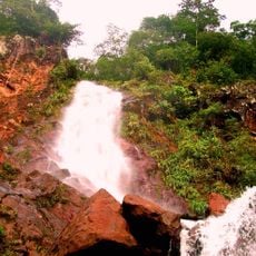
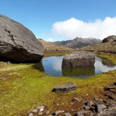
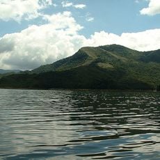
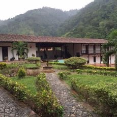
The varying altitude within the area means travelers can experience both warm lowlands and cool highlands in a single day. This variety also influences agriculture, as different fruits and plants grow depending on elevation.
Location: Venezuela
Inception: 1899
Capital city: San Cristóbal
Elevation above the sea: 1,303 m
Reference: TA
Part of: Andean Region
Shares border with: Zulia, Mérida, Barinas State, Apure, Norte de Santander Department
Website: http://tachira.gob.ve
GPS coordinates: 7.83333,-72.08333
Latest update: December 12, 2025 22:59
Simón Bolívar International Bridge
40.5 km
Estadio Polideportivo de Pueblo Nuevo
13.6 km
Atanasio Girardot International Bridge
41 km
Chorro El Indio National Park
12.6 km
Potosí
49 km
El Tamá National Park
34.6 km
Francisco de Paula Santander International Bridge
42.9 km
General Juan Pablo Peñaloza National Park
22.2 kmHospital Central de San Cristóbal
18 km
Historic church of Cúcuta
41.8 km
Tapo-Caparo National Park
26 km
Basilica of Our Lady of Consolation, Táriba
15.9 km
Cathedral of St. Christopher
18.4 km
House of Santander
41.8 km
Puente Libertador
16.6 km
Hacienda La Victoria
84.5 kmRío Viejo San Camilo National Park
37.2 km
Isidore the Laborer Church, Potosí
49.1 km
Meseta la Galera Natural Monument
82.1 kmAbra de Río Frío Natural Monument
16.5 km
Basilica of the Holy Spirit, La Grita
35.4 km
Saint Louis church in Cúcuta
44.6 km
Park of the Greater Colombia
41.8 km
Our Lady of Perpetual Help Cathedral, El Vigia
99.6 km
Iglesia del Divino Redentor
17.7 kmRío Mocotíes
91.9 kmPlaza Bolívar de San Cristóbal
18 km
San Cristóbal Velodrome
14 kmVisited this place? Tap the stars to rate it and share your experience / photos with the community! Try now! You can cancel it anytime.
Municipio Andrés Bello
Municipio Rómulo Acosta
Municipio Ayacucho
Municipio Bolívar
Municipio Cárdenas
Municipio Córdoba
Municipio Fernández Feo
Municipio Miranda
Municipio García de Hevia
Municipio Guásimos
Municipio Independencia
Municipio Jáuregui
Municipio Vargas
Municipio Junín
Municipio San Judas Tadeo
Municipio Libertad
Municipio Libertador
Municipio Lobatera
Municipio Michelena
Municipio Panamericano
Municipio Ureña
Municipio Urdaneta
Municipio Maldonado
Municipio San Cristóbal
Municipio Seboruco
Municipio Simón Rodríguez
Municipio Sucre
Municipio Torbes
Municipio Uribante
Discover hidden gems everywhere you go!
From secret cafés to breathtaking viewpoints, skip the crowded tourist spots and find places that match your style. Our app makes it easy with voice search, smart filtering, route optimization, and insider tips from travelers worldwide. Download now for the complete mobile experience.
A unique approach to discovering new places❞
— Le Figaro
All the places worth exploring❞
— France Info
A tailor-made excursion in just a few clicks❞
— 20 Minutes