General Juan Pablo Peñaloza National Park, National park in Mérida and Táchira states, Venezuela
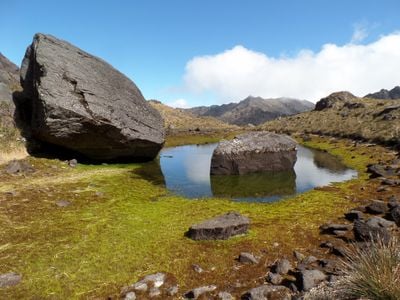
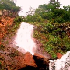
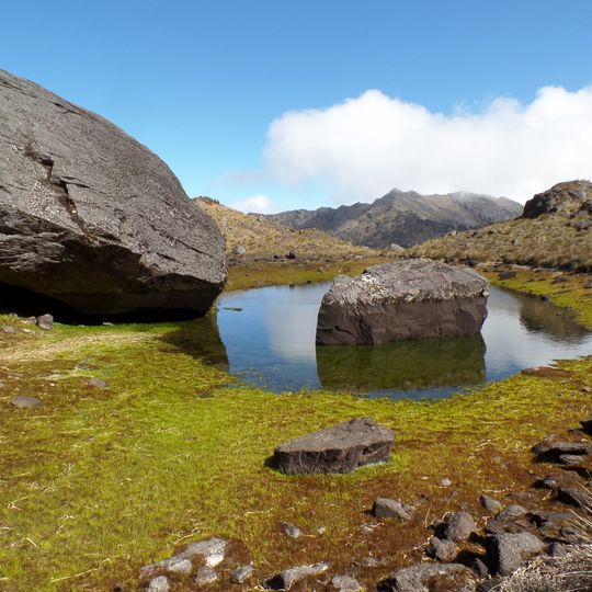
General Juan Pablo Peñaloza National Park is a mountain reserve spanning two states with elevations ranging from about 1,800 to 3,942 meters at its highest peak. The terrain includes multiple mountain ridges with steep slopes, dense forest zones at different altitudes, and numerous streams that feed into the surrounding water system.
The park is named after General Juan Pablo Peñaloza, a Táchira-born soldier and politician of the nineteenth century. It was created to protect the páramos of Batallón and La Negra, whose rivers supply the Uribante-Caparo hydroelectric complex. Its highest point is El Púlpito, at 3,942 m the tallest summit in Táchira state.
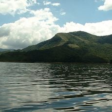
The park takes its name from General Juan Pablo Peñaloza, and is also called Páramos Batallón y La Negra after two of the páramos it contains. Its páramos feed the rivers Uribante, Escalante, La Grita, Mocotíes, Torbes and Bobo, and the reservoirs of the Uribante-Caparo hydroelectric complex. Cattle and horses that escaped from neighbouring farms now live wild in the park.
Access is from the Mérida and Táchira sides, northwest of the Táchira Depression; the ground runs from 1,800 m to the 3,942 m summit of El Púlpito, the highest point in Táchira. Slopes are steep and some sectors still show glacier marks, so plan for sudden weather shifts. Confirm open sectors and recommended gear with local authorities before setting out.
The park protects at least two endemic brachypterous butterflies, Redonda bordoni (Viloria & Pyrcz, 2003) and Redonda lathraia (Viloria & Camacho, 2015), both described from its high páramos. The Uribante, Escalante, La Grita, Mocotíes, El Molino, Torbes, Orope, Umuquena, Bobo, Pereño and Quebrada Grande rivers rise here, feeding the Uribante-Caparo hydroelectric complex.
The community of curious travelers
AroundUs brings together thousands of curated places, local tips, and hidden gems, enriched daily by 94,524 contributors worldwide.