Enable Location

We need your location to show you interesting places around you

Discover nearby places

Find interesting locations and hidden gems around you

Precise directions

Get accurate directions and distances to places

Your location is never shared with other users. It's only used when you tap the location button.

Municipio Cárdenas

Log in to your account

Start exploring — it's free

Trusted by 65,173 travelers worldwide

Continue with Google
Continue with Apple
or

We will send you a code to connect

By continuing, you accept our Terms and Conditions and our Privacy Policy

Check your inbox

We've sent a pincode in your inbox. Please enter the code below.

Municipio Cárdenas
Discussion Reviews 1 Photos
15.7k Popularity

Municipio Cárdenas, second-level administrative division in the Táchira State, Venezuela

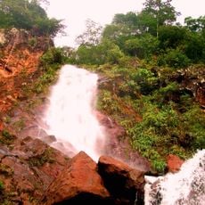
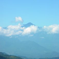
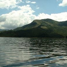
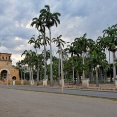
Municipio Cárdenas is a municipal division in southern Táchira state in western Venezuela, centered on the town of Tariba set in green hills. The area covers around 262 square kilometers with moist mountain forests and rivers including the Torbes, Uribante, and Potosí.

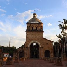
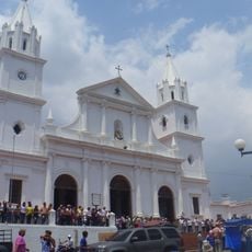
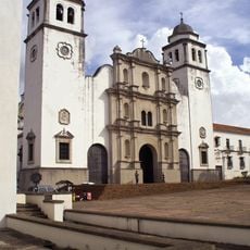
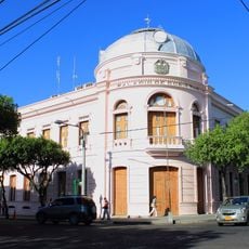
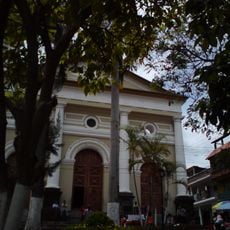
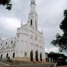
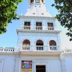
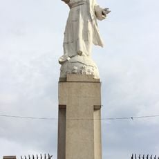
Indigenous groups lived in the region before Spanish arrival in the 1500s. Augustinian priests brought an image of the Virgin in 1560, which became a pilgrimage center. The municipality was formally named after Jose Ignacio Cardenas in 1881, honoring a regional political figure.

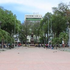
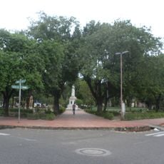
Tariba, the main town, is deeply shaped by devotion to the Virgin of Consolation, whose image has been venerated here since the 1500s. You can see this faith woven into daily life through religious gatherings, family-run craft shops, and how people gather in the main plaza to talk and pray together.

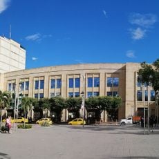
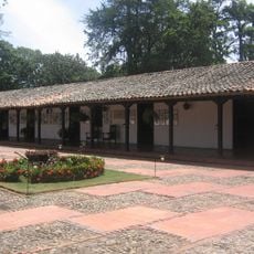
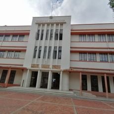
The town sits at about 2,800 feet (860 meters) elevation in a mountainous region with regular rainfall and mild temperatures year-round. Tariba connects by road to San Cristóbal, the state capital, and offers basic services including markets, shops, and restaurants for visitors and residents.

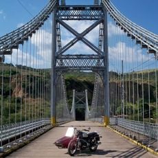
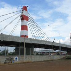
The Puente Libertador, a suspension bridge that has connected Cárdenas to San Cristóbal since 1930, was according to local lore built by the same engineering firm that designed the Eiffel Tower in Paris. The bridge stands as both a working transport link and a historical landmark of regional importance.

The community of curious travelers

AroundUs brings together thousands of curated places, local tips, and hidden gems, enriched daily by 60,000 contributors worldwide.

Start exploring
Location
Capital city
Táriba
Part of
Táchira
GPS coordinates
7.80692,-72.13039
Latest update
February 19, 2026 23:40
Reviews
Share your experience

No review yet

Discussions
Start a discussion...

No discussion yet

« Municipio Cárdenas - second-level administrative division in the Táchira State, Venezuela » is provided by Around Us (aroundus.com). Images and texts are derived from Wikimedia project under a Creative Commons license. You are allowed to copy, distribute, and modify copies of this page, under the conditions set by the license, as long as this note is clearly visible.

Discover hidden gems everywhere you go!

From secret cafés to breathtaking viewpoints, skip the crowded tourist spots and find places that match your style. Our app makes it easy with voice search, smart filtering, route optimization, and insider tips from travelers worldwide. Download now for the complete mobile experience.

Around Us App Screenshot

A unique approach to discovering new places

Le Figaro

All the places worth exploring

France Info

A tailor-made excursion in just a few clicks

20 Minutes

Around Us
Travel Guide & Maps
Download

Send to your phone

QR Code
1

Open the camera app on your mobile.

2

Point at the QR code with your camera. A notification will appear.

3

Tap the notification to open the link.