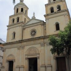
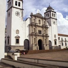
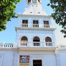
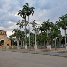
Municipio Bolívar, Administrative division in Táchira State, Venezuela.
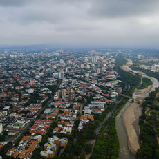
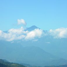
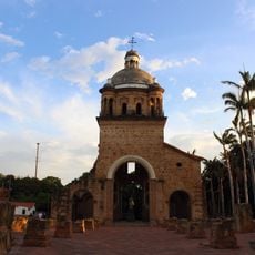
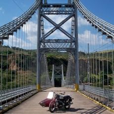
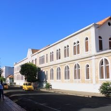
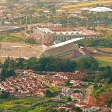
Municipio Bolívar is an administrative division in Táchira, Venezuela, covering numerous settlements spread across mountainous terrain at elevations between 800 and 2000 meters. The geography creates distinct zones with varied landscapes and vegetation throughout the territory.
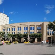
The municipality took its current administrative form in 1960 following a territorial reorganization that redefined boundaries within Táchira State. This restructuring reflected broader administrative changes occurring across Venezuela at that time.
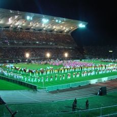
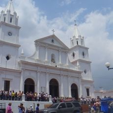
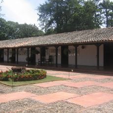
Local people practice traditional farming methods centered on coffee growing, which shapes how the community lives and works together. These agricultural traditions remain central to daily life in the region.
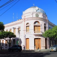
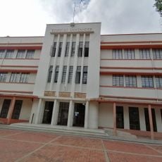
Municipal offices are located across different settlements and operate on weekdays for administrative services and documentation. Visitors needing official services should plan to visit during standard business hours and may need to identify which specific office handles their particular request.
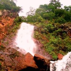
The territory contains multiple microclimates created by its varied elevations, which support different farming zones within short distances of each other. This natural variety allows the cultivation of different crops in close proximity across the region.
The community of curious travelers
AroundUs brings together thousands of curated places, local tips, and hidden gems, enriched daily by 60,000 contributors worldwide.