
Naranjito, district in Quepos canton, Puntarenas province, Costa Rica
Location: Quepos Canton
Inception: August 11, 1971
Elevation above the sea: 95 m
GPS coordinates: 9.48179,-84.08040
Latest update: March 6, 2025 18:38
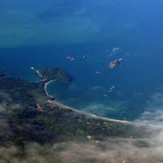
Manuel Antonio National Park
13.3 km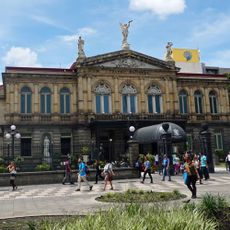
National Theatre of Costa Rica
50.2 km
Cerro de la Muerte
36.5 km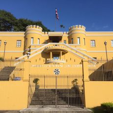
National Museum of Costa Rica
50.2 km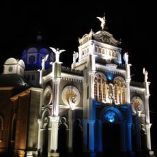
Nuestra Señora de los Ángeles
46.4 km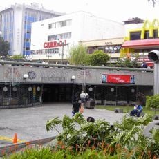
Pre-Columbian Gold Museum
50.3 km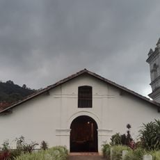
Orosi Church
42.9 km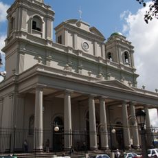
Metropolitan Cathedral of San José
50.2 km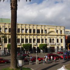
Melico Salazar Theatre
50.3 km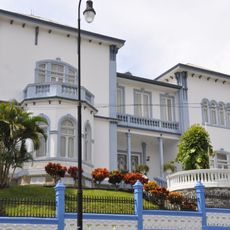
Castillo Azul
50.3 km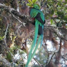
Los Quetzales National Park
22.3 km
San José Central Market
50.4 km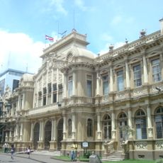
Post Bulding Central Office
50.5 km
Tapantí National Park
44.5 km
Plaza Cleto González Víquez
49.3 km
BN Arena
49 km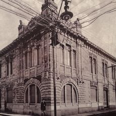
Steinvorth Building
50.4 km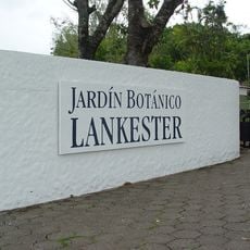
Lankester Botanical Garden
44.9 km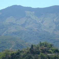
Cerro Caraigres
27.5 km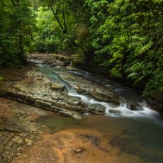
La Cangreja National Park
41.4 km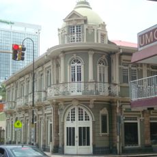
Maroy Building
50.4 km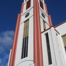
Our Lady of Carmel Cathedral, Cartago
46.1 km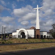
Iglesia de San Diego (La Unión)
47.4 km
Torre Latitud Los Yoses
50.1 km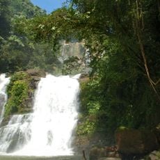
Nauyaca Waterfalls
39.2 km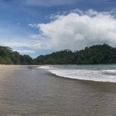
Playa Espadilla Sur
12.6 km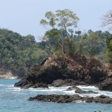
Playa Gemelas
13.1 km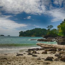
Beach at Manuel Antonio Park
13 kmReviews
Visited this place? Tap the stars to rate it and share your experience / photos with the community! Try now! You can cancel it anytime.
Discover hidden gems everywhere you go!
From secret cafés to breathtaking viewpoints, skip the crowded tourist spots and find places that match your style. Our app makes it easy with voice search, smart filtering, route optimization, and insider tips from travelers worldwide. Download now for the complete mobile experience.

A unique approach to discovering new places❞
— Le Figaro
All the places worth exploring❞
— France Info
A tailor-made excursion in just a few clicks❞
— 20 Minutes