Zarcero Canton, Administrative canton in Alajuela Province, Costa Rica.
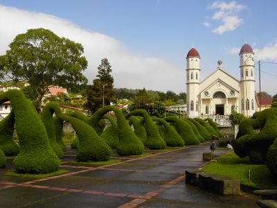
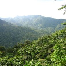
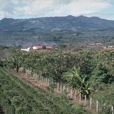
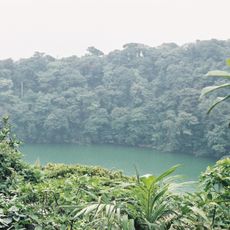
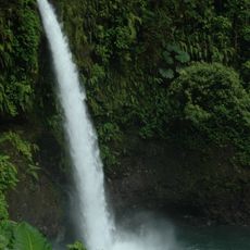
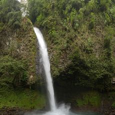
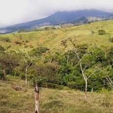
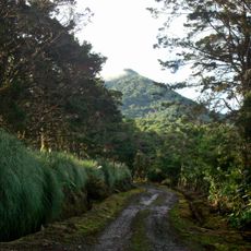
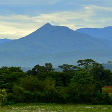
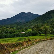
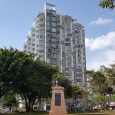
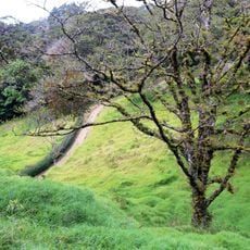
Zarcero is an administrative canton in Alajuela Province located in Costa Rica's highlands. The region is divided into seven districts and features mountainous terrain where coffee plantations and vegetable fields shape the landscape.
The area was established in 1915 by government decree and was originally named after a historical figure. Over time, the local name referencing the natural vegetation became the official designation.
The name comes from zarzamora, the wild blackberry bushes that grow freely throughout the mountains. Local people have long connected these plants with their identity and landscape.
Two main roads connect the area to larger markets where coffee, vegetables, and dairy products are traded. The high elevation means you should bring warm clothing and sturdy footwear if you plan to explore.
The canton stands out for its safety record, maintaining one of the lowest crime rates in the country. This peaceful environment combined with strong educational standards has allowed it to remain a quiet hub for farming and community life.
Location: Alajuela Province
Capital city: Zarcero
Elevation above the sea: 1,769 m
Shares border with: Sarchí Canton, San Ramón Canton, Naranjo Canton, San Carlos Canton
Website: http://zarcero.go.cr
GPS coordinates: 10.21667,-84.40000
Latest update: December 8, 2025 13:42
Central Conservation Area
37 km
Arenal Volcano
43 km
Poás Volcano National Park
17.4 km
Poás Volcano
18.7 km
La Selva Biological Station
48 kmLa Sabana Metropolitan Park
45.3 km
Barva Volcano
33.5 km
Arenal Volcano National Park
43.1 km
Parque de Diversiones
41.3 km
Fortín de Heredia
39.3 km
Chato Volcan
40.4 km
La Paz Waterfall
26.2 km
La Fortuna Waterfall
39.2 km
Platanar
9.8 km
Arenal Hanging Bridges
42.8 km
Cerro Zurquí
44.3 km
San José Costa Rica Temple
34.8 km
Volcán Cacho Negro
38.8 km
Volcán Congo
19.4 km
Our Lady of the Pillar Cathedral, Alajuela
30.3 km
Iglesia de la Inmaculada
39.5 km
Bocaraca
41.3 km
Museo de Cultura Popular
38.3 km
Vistas de Nunciatura
44.1 km
Aguas Zarcas meteorite
6.6 km
Curi Cancha Wildlife Refuge
45.2 km
Centro de Conservación de Santa Ana
38.6 km
Butterfly Conservatory
45 kmVisited this place? Tap the stars to rate it and share your experience / photos with the community! Try now! You can cancel it anytime.
Discover hidden gems everywhere you go!
From secret cafés to breathtaking viewpoints, skip the crowded tourist spots and find places that match your style. Our app makes it easy with voice search, smart filtering, route optimization, and insider tips from travelers worldwide. Download now for the complete mobile experience.
A unique approach to discovering new places❞
— Le Figaro
All the places worth exploring❞
— France Info
A tailor-made excursion in just a few clicks❞
— 20 Minutes