
Puerto Cortés, district in Osa canton, Puntarenas province, Costa Rica
Location: Osa Canton
Inception: July 29, 1940
Elevation above the sea: 6 m
GPS coordinates: 9.02209,-83.57512
Latest update: March 19, 2025 06:14
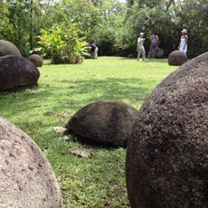
Stone spheres of Costa Rica
16.3 km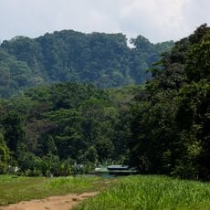
Corcovado National Park
52.6 km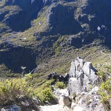
Cerro Chirripó
52.3 km
Cerro de la Muerte
62.5 km
Chirripó National Park
52 km
Ballena Marine National Park
18.9 km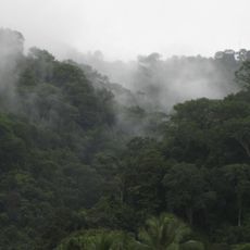
Piedras Blancas National Park
49.8 km
Cerro Ventisqueros
51 km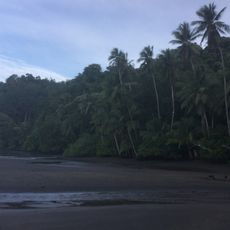
Osa Wildlife Sanctuary
48 km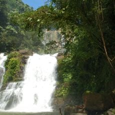
Nauyaca Waterfalls
36.4 km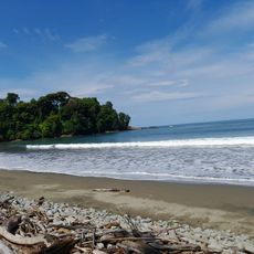
Playa Piñuela
15.1 km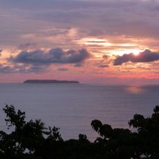
Isla del Caño Lighthouse
49.3 km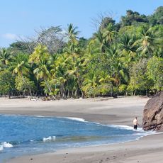
Playa San Josecito
42 km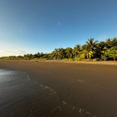
Matapalo
54.9 km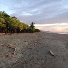
Playa Savegre
65.6 km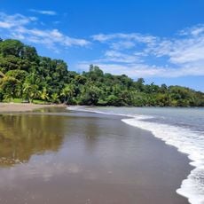
Playa Colorada
38.1 km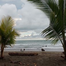
Playa Matapalo
52.9 km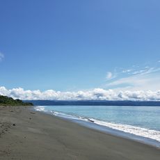
Playa Platanares
64.2 km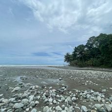
Playa Madrigal
64.3 km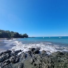
Playa Caletas
38.8 km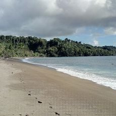
Playa Rincon
43.5 km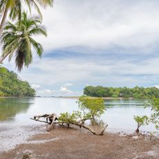
Playa Ganado
31.2 km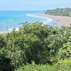
Colonia Beach
23.4 km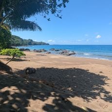
Cocalito
38.1 km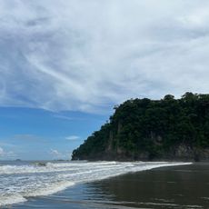
Tortuga Norte
12.3 km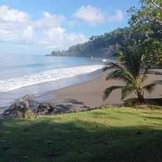
Playa San Pedrillo
46.6 km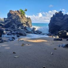
Playa Danta
40.1 km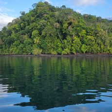
Playa Isidora
35.4 kmVisited this place? Tap the stars to rate it and share your experience / photos with the community! Try now! You can cancel it anytime.
Discover hidden gems everywhere you go!
From secret cafés to breathtaking viewpoints, skip the crowded tourist spots and find places that match your style. Our app makes it easy with voice search, smart filtering, route optimization, and insider tips from travelers worldwide. Download now for the complete mobile experience.

A unique approach to discovering new places❞
— Le Figaro
All the places worth exploring❞
— France Info
A tailor-made excursion in just a few clicks❞
— 20 Minutes