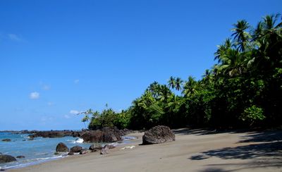
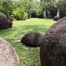
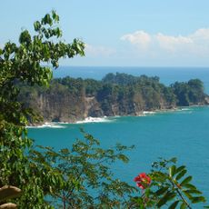
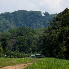
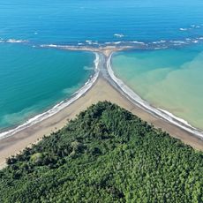
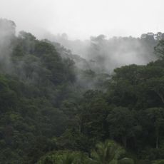
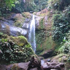
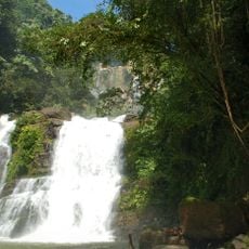
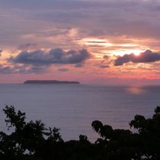
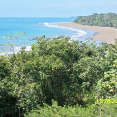
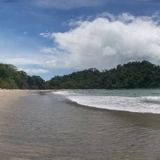
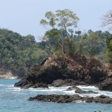
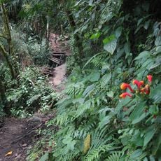
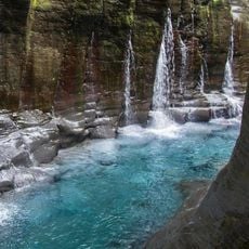
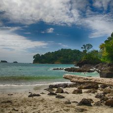
Osa Canton, canton in Puntarenas province, Costa Rica
The community of curious travelers
AroundUs brings together thousands of curated places, local tips, and hidden gems, enriched daily by 60,000 contributors worldwide.
Location
Inception
July 29, 1940
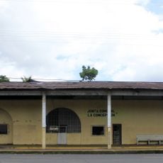
Capital city
Ciudad Cortés
Elevation above the sea
27 m
Shares border with
Golfito Canton, Quepos Canton, Pérez Zeledón Canton, Buenos Aires Canton, Puerto Jiménez Canton
Website
GPS coordinates
8.89389,-83.51417
Latest update
March 6, 2025 06:04