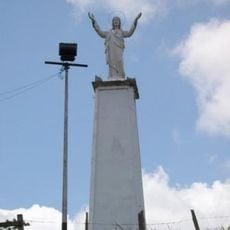
Municipio Catatumbo, Administrative division in Zulia state, Venezuela.
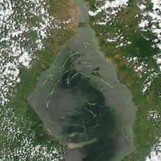
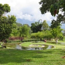
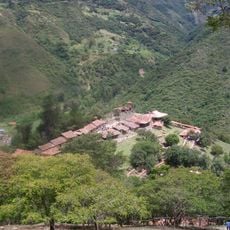
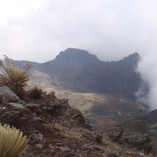
Municipio Catatumbo is an administrative division in Zulia state near the Colombian border, covering approximately 5,387 square kilometers of forests and wetlands. The landscape is shaped by major river systems, including the Catatumbo River, which gives the municipality its name.
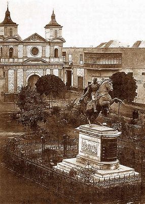
The region was explored and mapped during Ambrosio Alfinger's 15th century expedition, which identified key river systems in the area. The construction of the Gran Ferrocarril del Táchira in 1896, connecting San Félix to Encontrados, later enhanced regional trade and movement.
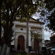
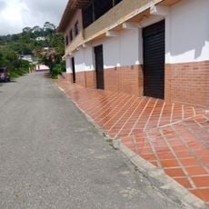
The two parishes of Encontrados and Udón Pérez maintain strong agricultural roots, with farming communities growing crops such as cassava, corn, citrus, plantains, and cacao. These farming traditions remain central to daily life and local identity.
The tropical climate with average temperatures around 28.5 degrees Celsius (83 degrees Fahrenheit) shapes activities year-round. Visitors should expect consistently warm and humid conditions typical of this region.
A lesser-known fact is that the Gran Ferrocarril del Táchira, completed in 1896, was one of the earliest railway connections in this remote corner of Venezuela. This railroad brought modern transport to communities that were previously quite isolated from each other.
The community of curious travelers
AroundUs brings together thousands of curated places, local tips, and hidden gems, enriched daily by 60,000 contributors worldwide.